Estimated Value: $272,000 - $340,000
3
Beds
3
Baths
1,908
Sq Ft
$161/Sq Ft
Est. Value
About This Home
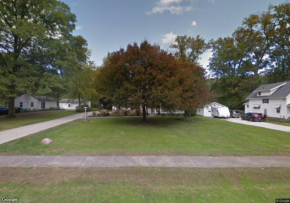
This home is located at 2003 Arndale Rd, Stow, OH 44224 and is currently estimated at $306,445, approximately $160 per square foot. 2003 Arndale Rd is a home located in Summit County with nearby schools including Stow-Munroe Falls High School, Primrose School of Hudson, and Holy Family Elementary School.
Ownership History
Date
Name
Owned For
Owner Type
Purchase Details
Closed on
Aug 26, 2013
Sold by
Abbott Donald F and Abbott Irene F
Bought by
Abbott Donald F and Abbott Irene F
Current Estimated Value
Purchase Details
Closed on
Apr 21, 2005
Sold by
Al Neimi Naman N and Al Niemi Abeers Abrahim
Bought by
Abbot Donald F and Abbott Irene F
Home Financials for this Owner
Home Financials are based on the most recent Mortgage that was taken out on this home.
Original Mortgage
$151,200
Interest Rate
5.89%
Mortgage Type
Fannie Mae Freddie Mac
Purchase Details
Closed on
May 6, 2000
Sold by
Allen Michael L and Vitek Joanne
Bought by
Alniemi Naman N and Alniemi Abeer S Abraham
Create a Home Valuation Report for This Property
The Home Valuation Report is an in-depth analysis detailing your home's value as well as a comparison with similar homes in the area
Home Values in the Area
Average Home Value in this Area
Purchase History
| Date | Buyer | Sale Price | Title Company |
|---|---|---|---|
| Abbott Donald F | -- | None Available | |
| Abbot Donald F | $189,000 | Minnesota Title | |
| Alniemi Naman N | $139,000 | Minnesota Title Agency Inc |
Source: Public Records
Mortgage History
| Date | Status | Borrower | Loan Amount |
|---|---|---|---|
| Closed | Abbot Donald F | $151,200 | |
| Closed | Abbot Donald F | $28,350 |
Source: Public Records
Tax History
| Year | Tax Paid | Tax Assessment Tax Assessment Total Assessment is a certain percentage of the fair market value that is determined by local assessors to be the total taxable value of land and additions on the property. | Land | Improvement |
|---|---|---|---|---|
| 2025 | $4,033 | $80,284 | $16,048 | $64,236 |
| 2024 | $4,033 | $80,284 | $16,048 | $64,236 |
| 2023 | $4,033 | $80,284 | $16,048 | $64,236 |
| 2022 | $3,505 | $63,214 | $12,635 | $50,579 |
| 2021 | $3,141 | $63,214 | $12,635 | $50,579 |
| 2020 | $3,088 | $63,220 | $12,640 | $50,580 |
| 2019 | $3,314 | $63,480 | $20,100 | $43,380 |
| 2018 | $3,260 | $63,480 | $20,100 | $43,380 |
| 2017 | $3,043 | $62,690 | $20,100 | $42,590 |
| 2016 | $3,131 | $58,300 | $20,100 | $38,200 |
| 2015 | $3,043 | $58,300 | $20,100 | $38,200 |
| 2014 | $3,046 | $58,300 | $20,100 | $38,200 |
| 2013 | $3,032 | $58,400 | $20,100 | $38,300 |
Source: Public Records
Map
Nearby Homes
- 1961 Arndale Rd
- 2072 White Oak Dr Unit 2076
- 4424 Timberdale Dr Unit 4428
- 2055-2059 Bryn Mawr Dr
- 4623 Cox Dr
- 4909 Fishcreek Rd
- 4138 Genevieve Blvd
- 4704 Red Willow Rd
- 3943 Darrow Rd
- 2279 Becket Cir
- 2352 Becket Cir
- 2365 Norman Dr
- 2221 Crockett Cir
- 4205 Osage St
- 4534 Foresthill Rd
- 0 Hibbard Dr
- 1514 & 1516 Robin Ln
- 3856 Northview Dr
- 4003 Kenneth Rd
- 3842 Moreland Ave
- 2007 Arndale Rd
- 1971 Arndale Rd
- 1971 Arndale Rd
- 2019 Arndale Rd
- 1998 Arndale Rd
- 1994 Arndale Rd
- 1969 Arndale Rd
- 1988 Arndale Rd
- 1980 Arndale Rd Unit 1984
- 2006 Arndale Rd
- 2025 Arndale Rd
- 2016 Arndale Rd
- 2037 Arndale Rd
- 2028 Arndale Rd
- 2024 Arndale Rd Unit 2028
- 4110 Chesterland Blvd
- 4114 Chesterland Blvd
- 1953 Arndale Rd
- 1966 Arndale Rd
- 4124 Chesterland Blvd
Your Personal Tour Guide
Ask me questions while you tour the home.