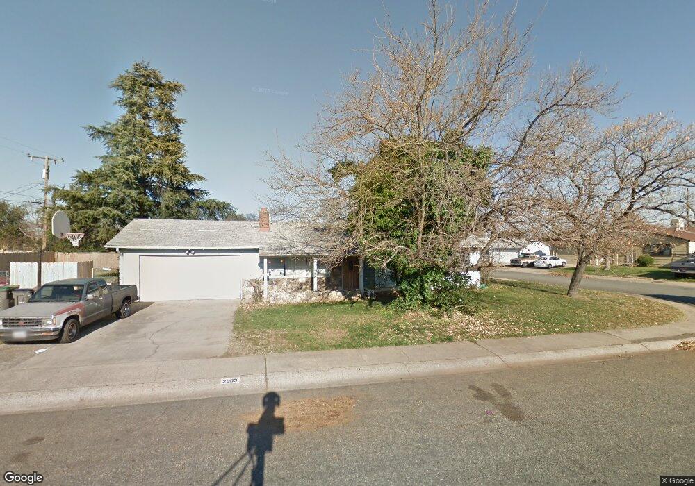
2003 Balsam Ave Anderson, CA 96007
Anderson City Center NeighborhoodEstimated Value: $244,146 - $269,000
3
Beds
2
Baths
1,040
Sq Ft
$245/Sq Ft
Est. Value
About This Home
This home is located at 2003 Balsam Ave, Anderson, CA 96007 and is currently estimated at $254,787, approximately $244 per square foot. 2003 Balsam Ave is a home located in Shasta County with nearby schools including Anderson Heights Elementary School, Meadow Lane Elementary School, and Anderson Middle School.
Ownership History
Date
Name
Owned For
Owner Type
Purchase Details
Closed on
Jul 19, 2018
Sold by
Jenkins Nicole and English Nicole
Bought by
Jenkins Nicole
Current Estimated Value
Home Financials for this Owner
Home Financials are based on the most recent Mortgage that was taken out on this home.
Original Mortgage
$148,000
Outstanding Balance
$89,551
Interest Rate
4.5%
Mortgage Type
New Conventional
Estimated Equity
$165,236
Purchase Details
Closed on
Aug 27, 2001
Sold by
Bray Stephen E
Bought by
English Nicole
Home Financials for this Owner
Home Financials are based on the most recent Mortgage that was taken out on this home.
Original Mortgage
$62,950
Interest Rate
7.05%
Mortgage Type
Purchase Money Mortgage
Purchase Details
Closed on
May 12, 1999
Sold by
Bray Christine M
Bought by
Bray Stephen E
Create a Home Valuation Report for This Property
The Home Valuation Report is an in-depth analysis detailing your home's value as well as a comparison with similar homes in the area
Home Values in the Area
Average Home Value in this Area
Purchase History
| Date | Buyer | Sale Price | Title Company |
|---|---|---|---|
| Jenkins Nicole | -- | Fidelity Natl Title Co Of Ca | |
| English Nicole | $94,000 | Fidelity National Title Co | |
| Bray Stephen E | -- | Placer Title Company |
Source: Public Records
Mortgage History
| Date | Status | Borrower | Loan Amount |
|---|---|---|---|
| Open | Jenkins Nicole | $148,000 | |
| Closed | English Nicole | $62,950 | |
| Closed | English Nicole | $28,200 |
Source: Public Records
Tax History Compared to Growth
Tax History
| Year | Tax Paid | Tax Assessment Tax Assessment Total Assessment is a certain percentage of the fair market value that is determined by local assessors to be the total taxable value of land and additions on the property. | Land | Improvement |
|---|---|---|---|---|
| 2025 | $1,794 | $138,840 | $29,533 | $109,307 |
| 2024 | $1,760 | $136,118 | $28,954 | $107,164 |
| 2023 | $1,760 | $133,450 | $28,387 | $105,063 |
| 2022 | $1,717 | $130,834 | $27,831 | $103,003 |
| 2021 | $1,696 | $128,270 | $27,286 | $100,984 |
| 2020 | $1,721 | $126,956 | $27,007 | $99,949 |
| 2019 | $1,666 | $124,468 | $26,478 | $97,990 |
| 2018 | $1,645 | $122,028 | $25,959 | $96,069 |
| 2017 | $1,663 | $119,636 | $25,450 | $94,186 |
| 2016 | $1,555 | $117,291 | $24,951 | $92,340 |
| 2015 | $1,560 | $115,530 | $24,577 | $90,953 |
| 2014 | $1,467 | $107,000 | $27,000 | $80,000 |
Source: Public Records
Map
Nearby Homes
- 1980 Spruce Cir
- 1326 Jeffries Ave
- 4860 Mandalay Ct
- 1905 Spruce Cir
- 0 S Ridge Terrace Unit 24-2738
- 2576 W Hillside Dr
- 20306 Mulholland Ridge Dr
- 20219 Solomon Peak Dr
- 2616 W Hillside Dr
- 20295 Domaine Place
- 20216 Ballentine Dr
- 20284 Domaine Place
- 4855 Sierra Ct
- 20171 Solomon Peak Dr Unit Lot 20
- 20174 Solomon Peak Dr Unit Lot 5
- 20163 Solomon Peak Dr Unit Lot 18
- 20169 Ballentine Dr
- 2904 Silver St
- 0 Shooting Star Way
- 4635 Pleasant Hills Dr
- 1420 Hemlock Ave
- 2005 Balsam Ave
- 2000 Balsam Ave
- 1428 Hemlock Ave Unit 1
- 1428 Hemlock Ave
- 20186 Solomon Peak Dr Unit Lot 2
- 20182 Solomon Peak Dr Unit Lot 3
- 20178 Solomon Peak Dr Unit Lot 4
- 20190 Solomon Peak Dr
- 4835 Sierra Ct
- 4835 Sierra Ct Unit lot 26
- 1421 Hemlock Ave
- 1411 Hemlock Ave
- 1415 Hemlock Ave
- 1387 Aspen Dr
- 2007 Balsam Ave
- 1423 Hemlock Ave
- 1399 Hemlock Ave
- 1417 Hemlock Ave
- 1380 Hemlock Ave