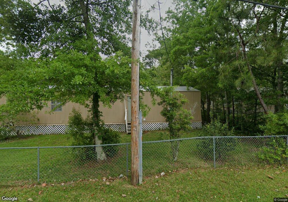
2003 Brasher Rd Biloxi, MS 39532
Estimated Value: $116,954 - $201,000
4
Beds
--
Bath
1,270
Sq Ft
$133/Sq Ft
Est. Value
About This Home
This home is located at 2003 Brasher Rd, Biloxi, MS 39532 and is currently estimated at $169,239, approximately $133 per square foot. 2003 Brasher Rd is a home located in Harrison County with nearby schools including North Bay Elementary School, Biloxi Junior High School, and Biloxi High School.
Ownership History
Date
Name
Owned For
Owner Type
Purchase Details
Closed on
Oct 28, 2022
Sold by
Dd Jones Holdings Llc
Bought by
Eif 10 Llc
Current Estimated Value
Home Financials for this Owner
Home Financials are based on the most recent Mortgage that was taken out on this home.
Original Mortgage
$4,445,000
Outstanding Balance
$3,378,901
Interest Rate
6.02%
Mortgage Type
New Conventional
Estimated Equity
-$3,209,662
Purchase Details
Closed on
May 13, 2021
Sold by
Jones Danny D
Bought by
Dd Jones Holdings Llc
Create a Home Valuation Report for This Property
The Home Valuation Report is an in-depth analysis detailing your home's value as well as a comparison with similar homes in the area
Home Values in the Area
Average Home Value in this Area
Purchase History
| Date | Buyer | Sale Price | Title Company |
|---|---|---|---|
| Eif 10 Llc | $5,911,850 | None Listed On Document | |
| Dd Jones Holdings Llc | -- | None Available |
Source: Public Records
Mortgage History
| Date | Status | Borrower | Loan Amount |
|---|---|---|---|
| Open | Eif 10 Llc | $4,445,000 |
Source: Public Records
Tax History
| Year | Tax Paid | Tax Assessment Tax Assessment Total Assessment is a certain percentage of the fair market value that is determined by local assessors to be the total taxable value of land and additions on the property. | Land | Improvement |
|---|---|---|---|---|
| 2025 | $852 | $7,620 | $0 | $0 |
| 2024 | $832 | $7,512 | $0 | $0 |
| 2023 | $825 | $7,512 | $0 | $0 |
| 2022 | $825 | $7,512 | $0 | $0 |
| 2021 | $825 | $7,512 | $0 | $0 |
| 2020 | $745 | $6,784 | $0 | $0 |
| 2019 | $745 | $6,784 | $0 | $0 |
| 2018 | $745 | $6,784 | $0 | $0 |
| 2017 | $745 | $6,784 | $0 | $0 |
| 2015 | $721 | $6,558 | $0 | $0 |
| 2014 | -- | $7,853 | $0 | $0 |
| 2013 | -- | $6,558 | $1,943 | $4,615 |
Source: Public Records
Map
Nearby Homes
- 712 Champagne Dr
- 2033 S Hill Dr
- 1033 Live Oak Dr
- 749 Black Ledge Ln
- 0 Royale Dr
- 1931 Bayside Dr
- 694 Water's View Dr
- 796 Sharon Hills Dr
- 615 N Haven Dr
- 734 Canterbury Dr
- Lot 12 Wetzel Dr
- 830 Bluewood Dr
- Lot 11 Wetzel Dr
- Lot 13 Wetzel Dr
- Lot 14 Wetzel Dr
- 719 Holly Hills Dr
- Lot 17 Wetzel Dr
- 2091 Carolwood Dr
- Lot 4 Wetzel Dr
- 0 Popps Ferry Rd Unit 4138386
- 6225 Ridge Dr
- 2005 Brasher Rd
- 2002 Brasher Rd Unit A
- 2002 Brasher Rd
- 710 S Hill Ct
- 1990 Brasher Rd
- 700 Monie Vista Dr
- 708 S Hill Ct
- 728 Monie Vista Dr
- 1999 Brasher Rd
- 707 Champagne Dr
- 2008 Brasher Rd
- 704 S Hill Ct
- 709 S Hill Ct
- 2015 S Hill Dr
- 715 Champagne Dr
- LOT 20 Lot 20 Champagne Dr
- LOT 19 Lot 19 Champagne Dr
- 738 Monie Vista Dr
- 719 Champagne Dr
Your Personal Tour Guide
Ask me questions while you tour the home.