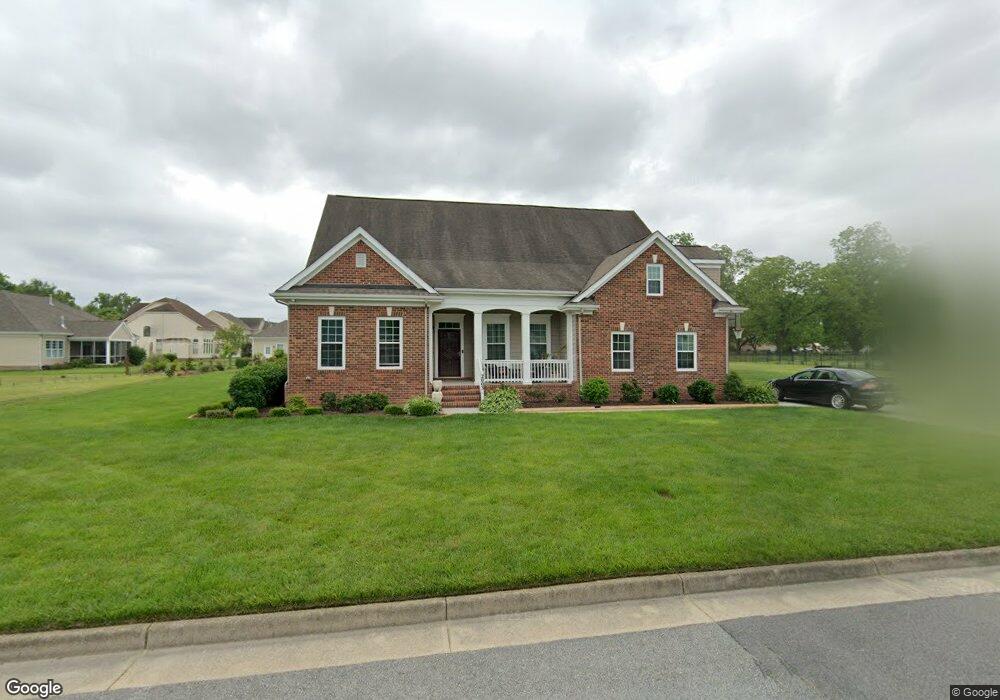
2003 Fieldstone Ln Suffolk, VA 23434
Holy Neck NeighborhoodEstimated Value: $597,668 - $656,000
4
Beds
4
Baths
2,824
Sq Ft
$218/Sq Ft
Est. Value
About This Home
This home is located at 2003 Fieldstone Ln, Suffolk, VA 23434 and is currently estimated at $616,167, approximately $218 per square foot. 2003 Fieldstone Ln is a home located in Suffolk City with nearby schools including Elephant's Fork Elementary School, King's Fork Middle School, and King's Fork High School.
Ownership History
Date
Name
Owned For
Owner Type
Purchase Details
Closed on
Oct 31, 2013
Sold by
Ainslie Group Inc
Bought by
Edwards Rodney
Current Estimated Value
Home Financials for this Owner
Home Financials are based on the most recent Mortgage that was taken out on this home.
Original Mortgage
$390,003
Outstanding Balance
$294,158
Interest Rate
4.52%
Mortgage Type
FHA
Estimated Equity
$322,009
Create a Home Valuation Report for This Property
The Home Valuation Report is an in-depth analysis detailing your home's value as well as a comparison with similar homes in the area
Home Values in the Area
Average Home Value in this Area
Purchase History
| Date | Buyer | Sale Price | Title Company |
|---|---|---|---|
| Edwards Rodney | $397,198 | -- |
Source: Public Records
Mortgage History
| Date | Status | Borrower | Loan Amount |
|---|---|---|---|
| Open | Edwards Rodney | $390,003 |
Source: Public Records
Tax History Compared to Growth
Tax History
| Year | Tax Paid | Tax Assessment Tax Assessment Total Assessment is a certain percentage of the fair market value that is determined by local assessors to be the total taxable value of land and additions on the property. | Land | Improvement |
|---|---|---|---|---|
| 2024 | $6,543 | $556,100 | $120,000 | $436,100 |
| 2023 | $6,343 | $550,200 | $100,000 | $450,200 |
| 2022 | $5,314 | $487,500 | $100,000 | $387,500 |
| 2021 | $4,403 | $396,700 | $80,000 | $316,700 |
| 2020 | $4,359 | $392,700 | $80,000 | $312,700 |
| 2019 | $4,359 | $392,700 | $80,000 | $312,700 |
| 2018 | $4,433 | $392,800 | $80,000 | $312,800 |
| 2017 | $4,203 | $392,800 | $80,000 | $312,800 |
| 2016 | $4,203 | $392,800 | $80,000 | $312,800 |
| 2015 | $389 | $395,800 | $80,000 | $315,800 |
| 2014 | $389 | $395,800 | $80,000 | $315,800 |
Source: Public Records
Map
Nearby Homes
- 2001 Fieldstone Ln
- 4016 Harvest Reach Ln
- 1315 Pitchkettle Farm Ln
- 435 Terrywood Dr
- 127 Brookside Ln
- 814 General Pickett Dr
- 1259 Murphys Mill Rd
- 807 General Pickett Dr
- 137 Preserve Way
- 243 Preserve Way
- 1108 Egret Ln
- 1145 Egret Ln
- 1125 Egret Ln
- 1141 Egret Ln
- 1143 Egret Ln
- 1142 Egret Ln
- 1133 Egret Ln
- 1123 Egret Ln
- 1244 Murphys Mill Rd
- 207 Preserve Way
- 2005 Fieldstone Ln
- 1006 Pitchkettle Farm Ln
- 1102 Pitchkettle Farm Ln
- 2100 Fieldbrook Place
- 1104 Pitchkettle Farm Ln
- 1004 Pitchkettle Farm Ln
- 2102 Fieldbrook Place
- 2007 Fieldstone Ln
- 1100 Pitchkettle Farm Ln
- 1200 Pitchkettle Farm Ln
- 1103 Pitchkettle Farm Ln
- 1101 Pitchkettle Farm Ln
- 1105 Pitchkettle Farm Ln
- 1005 Pitchkettle Farm Ln
- 2104 Fieldbrook Place
- 1002 Pitchkettle Farm Ln
- 2006 Fieldstone Ln
- 4001 Harvest Reach Ln
- 1003 Pitchkettle Farm Ln
- 1202 Pitchkettle Farm Ln