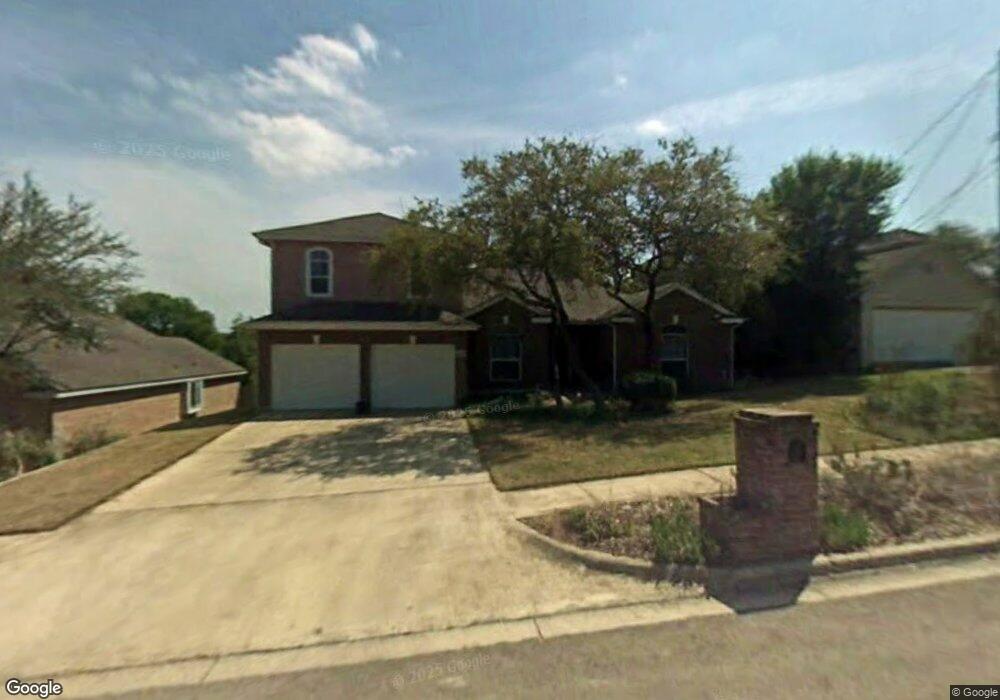
2003 Lancaster St San Marcos, TX 78666
Castle Forest NeighborhoodEstimated Value: $453,000 - $502,000
--
Bed
--
Bath
3,055
Sq Ft
$156/Sq Ft
Est. Value
About This Home
This home is located at 2003 Lancaster St, San Marcos, TX 78666 and is currently estimated at $476,127, approximately $155 per square foot. 2003 Lancaster St is a home located in Hays County with nearby schools including Crockett Elementary School, Dorris Miller Middle School, and San Marcos High School.
Ownership History
Date
Name
Owned For
Owner Type
Purchase Details
Closed on
Dec 16, 2022
Sold by
Mitchell Danielle Elizabeth
Bought by
Mitchell William
Current Estimated Value
Home Financials for this Owner
Home Financials are based on the most recent Mortgage that was taken out on this home.
Original Mortgage
$727,500
Outstanding Balance
$706,185
Interest Rate
7.08%
Mortgage Type
FHA
Estimated Equity
-$230,058
Create a Home Valuation Report for This Property
The Home Valuation Report is an in-depth analysis detailing your home's value as well as a comparison with similar homes in the area
Home Values in the Area
Average Home Value in this Area
Purchase History
| Date | Buyer | Sale Price | Title Company |
|---|---|---|---|
| Mitchell William | -- | -- |
Source: Public Records
Mortgage History
| Date | Status | Borrower | Loan Amount |
|---|---|---|---|
| Open | Mitchell William | $727,500 | |
| Closed | Mitchell William | $727,500 |
Source: Public Records
Tax History Compared to Growth
Tax History
| Year | Tax Paid | Tax Assessment Tax Assessment Total Assessment is a certain percentage of the fair market value that is determined by local assessors to be the total taxable value of land and additions on the property. | Land | Improvement |
|---|---|---|---|---|
| 2025 | $4,039 | $484,138 | -- | -- |
| 2024 | $4,039 | $440,125 | $88,770 | $501,930 |
| 2023 | $7,610 | $400,114 | $88,770 | $531,020 |
| 2022 | $7,454 | $363,740 | $53,620 | $399,950 |
| 2021 | $7,514 | $340,920 | $48,220 | $292,700 |
| 2020 | $7,184 | $325,920 | $48,220 | $277,700 |
| 2019 | $6,727 | $273,284 | $48,220 | $239,130 |
| 2018 | $6,144 | $248,440 | $20,000 | $228,440 |
| 2017 | $5,748 | $239,080 | $20,000 | $219,080 |
| 2016 | $5,395 | $224,390 | $20,000 | $204,390 |
| 2015 | $4,598 | $212,370 | $20,000 | $192,370 |
Source: Public Records
Map
Nearby Homes
- 2203 Lancaster St
- 1837 Pearce Ct
- 1805 Ramona Cir
- 1931 Lisa Ln
- 1809 Pearce Ct
- 2003 Lisa Ln
- 609 Chicago St
- 108 Dolly St
- 1610 Ramona Cir
- 1919 Castle Gate Cir
- 2022 Ridge View Dr
- 2007 Castle Gate Cir
- TBD LOT 2 Old Ranch Road 12
- TBD LOT 1 Old Ranch Road 12
- 412 Craddock Ave
- 0 Old Ranch Road 12
- 205 Hughson Dr
- 114 Algarita St
- 1007 Earle St
- 140 Coers Dr
- 2005 Lancaster St
- 2001 Lancaster St
- 103 Greenridge Cove
- 101 Greenridge Cove
- 1906 Ramona Cir
- 1908 Ramona Cir
- 105 Greenridge Cove
- 1904 Ramona Cir
- 1910 Ramona Cir
- 1902 Ramona Cir
- 2000 Lancaster St
- 1912 Ramona Cir
- 100 Greenridge Cove
- 1818 Ramona Cir
- 2002 Lancaster St
- 1914 Ramona Cir
- 104 Greenridge Cove
- 2004 Lancaster St
- 1816 Ramona Cir
- 102 Greenridge Cove