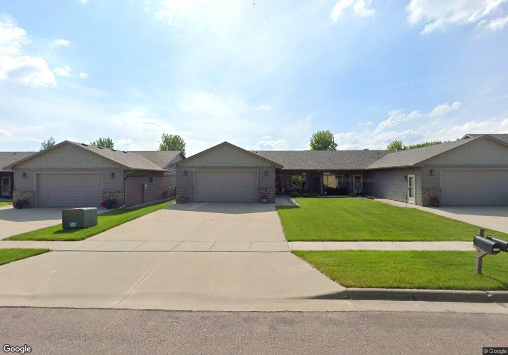
2003 S Wheatland Ct Sioux Falls, SD 57106
Northwest Sioux Falls NeighborhoodEstimated Value: $302,312 - $340,000
2
Beds
2
Baths
1,365
Sq Ft
$232/Sq Ft
Est. Value
About This Home
This home is located at 2003 S Wheatland Ct, Sioux Falls, SD 57106 and is currently estimated at $317,078, approximately $232 per square foot. 2003 S Wheatland Ct is a home located in Minnehaha County with nearby schools including Discovery Elementary School, Memorial Middle School, and Jefferson High School - 67.
Ownership History
Date
Name
Owned For
Owner Type
Purchase Details
Closed on
Apr 25, 2014
Sold by
Travis Travis and Laqua Jennifer N
Bought by
Mark Duane L and Mark Phyllis J
Current Estimated Value
Home Financials for this Owner
Home Financials are based on the most recent Mortgage that was taken out on this home.
Original Mortgage
$163,305
Outstanding Balance
$124,469
Interest Rate
4.41%
Mortgage Type
Stand Alone First
Estimated Equity
$192,609
Create a Home Valuation Report for This Property
The Home Valuation Report is an in-depth analysis detailing your home's value as well as a comparison with similar homes in the area
Home Values in the Area
Average Home Value in this Area
Purchase History
| Date | Buyer | Sale Price | Title Company |
|---|---|---|---|
| Mark Duane L | $171,900 | Getty Abstract & Title Comp |
Source: Public Records
Mortgage History
| Date | Status | Borrower | Loan Amount |
|---|---|---|---|
| Open | Mark Duane L | $163,305 |
Source: Public Records
Tax History Compared to Growth
Tax History
| Year | Tax Paid | Tax Assessment Tax Assessment Total Assessment is a certain percentage of the fair market value that is determined by local assessors to be the total taxable value of land and additions on the property. | Land | Improvement |
|---|---|---|---|---|
| 2024 | $3,211 | $236,600 | $32,200 | $204,400 |
| 2023 | $3,111 | $220,500 | $28,300 | $192,200 |
| 2022 | $3,099 | $207,400 | $28,300 | $179,100 |
| 2021 | $2,349 | $163,300 | $0 | $0 |
| 2020 | $2,349 | $149,700 | $0 | $0 |
| 2019 | $2,461 | $154,536 | $0 | $0 |
| 2018 | $2,216 | $145,353 | $0 | $0 |
| 2017 | $2,212 | $139,541 | $23,356 | $116,185 |
| 2016 | $2,212 | $139,541 | $23,356 | $116,185 |
| 2015 | $2,295 | $139,483 | $22,126 | $117,357 |
| 2014 | -- | $139,130 | $21,773 | $117,357 |
Source: Public Records
Map
Nearby Homes
- 0 S Ellis Rd
- 8708 W Norma Trail
- 8105 W 24th St
- 8113 W 24th St
- 8812 W Norma Trail
- 8101 W 24th St
- 1612 S Meadowland Ave
- 1604 S Kinderhook Ave
- 1516 S Kathryn Ave
- 1512 S Kathryn Ave
- 1501 S Wheatland Ave
- 1517 S Kathryn Ave
- 8901 W 32nd St Unit 6
- 1508 S Kathryn Ave
- 1315 S President Ct
- 1500 S Kathryn Ave
- 1405 S Maria Ave
- 1917 S Grinnell Ave
- 8808 W 22nd St
- 1504 S Gill Ave
- 2001 S Wheatland Ct
- 2007 S Wheatland Ct
- 1923 S Wheatland Ct
- 2009 S Wheatland Ct
- 1921 S Wheatland Ct
- 2011 S Wheatland Ct
- 1919 S Wheatland Ct
- 2004 S Wheatland Ct
- 2008 S Wheatland Ave
- 2010 S Barret Place Unit 46
- 2014 S Barret Place Unit 48
- 2008 S Wheatland Ct
- 2006 S Barret Place
- 2008 S Barret Place
- 1917 S Wheatland Ct
- 1920 S Wheatland Ct
- 2002 S Barret Place
- 2004 S Barret Place
- 2008 S Barret Place Unit 45
- 2000 S Barret Place