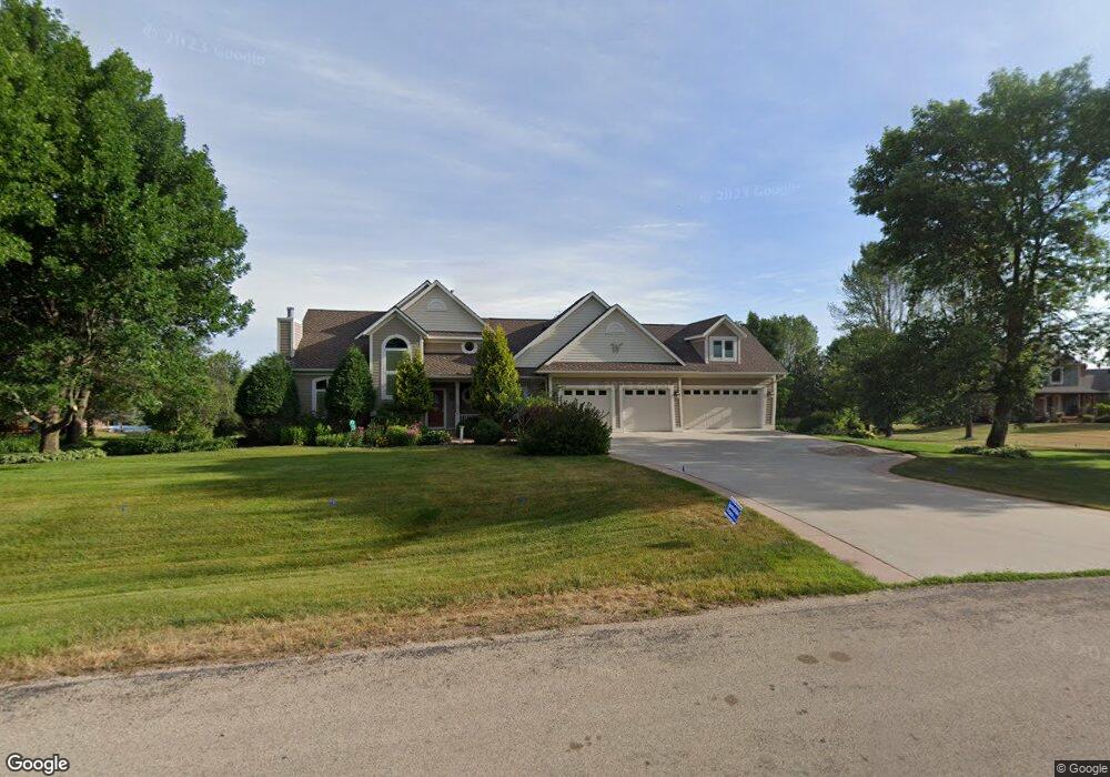
2003 Summit Dr NE Rochester, MN 55906
Estimated Value: $731,997 - $754,000
4
Beds
4
Baths
3,391
Sq Ft
$220/Sq Ft
Est. Value
About This Home
This home is located at 2003 Summit Dr NE, Rochester, MN 55906 and is currently estimated at $746,332, approximately $220 per square foot. 2003 Summit Dr NE is a home located in Olmsted County with nearby schools including Gage Elementary School, Century Senior High School, and Rochester KinderCare.
Ownership History
Date
Name
Owned For
Owner Type
Purchase Details
Closed on
Nov 12, 2009
Sold by
Waterman Roy H and Gibson Kara A
Bought by
Waterman Roy H and Gibson Kara A
Current Estimated Value
Home Financials for this Owner
Home Financials are based on the most recent Mortgage that was taken out on this home.
Original Mortgage
$417,000
Interest Rate
4.37%
Mortgage Type
Adjustable Rate Mortgage/ARM
Create a Home Valuation Report for This Property
The Home Valuation Report is an in-depth analysis detailing your home's value as well as a comparison with similar homes in the area
Home Values in the Area
Average Home Value in this Area
Purchase History
| Date | Buyer | Sale Price | Title Company |
|---|---|---|---|
| Waterman Roy H | -- | Rochester Title |
Source: Public Records
Mortgage History
| Date | Status | Borrower | Loan Amount |
|---|---|---|---|
| Closed | Waterman Roy H | $417,000 |
Source: Public Records
Tax History Compared to Growth
Tax History
| Year | Tax Paid | Tax Assessment Tax Assessment Total Assessment is a certain percentage of the fair market value that is determined by local assessors to be the total taxable value of land and additions on the property. | Land | Improvement |
|---|---|---|---|---|
| 2024 | $7,430 | $713,500 | $120,000 | $593,500 |
| 2023 | $7,324 | $779,800 | $120,000 | $659,800 |
| 2022 | $6,162 | $705,500 | $120,000 | $585,500 |
| 2021 | $5,702 | $597,700 | $120,000 | $477,700 |
| 2020 | $5,704 | $563,500 | $90,000 | $473,500 |
| 2019 | $5,432 | $533,500 | $90,000 | $443,500 |
| 2018 | $4,793 | $517,600 | $90,000 | $427,600 |
| 2017 | $4,734 | $453,300 | $90,000 | $363,300 |
| 2016 | $4,856 | $432,700 | $90,000 | $342,700 |
| 2015 | $4,500 | $427,200 | $90,000 | $337,200 |
| 2014 | $4,314 | $420,500 | $90,000 | $330,500 |
| 2012 | -- | $406,300 | $89,867 | $316,433 |
Source: Public Records
Map
Nearby Homes
- 2163 Hadley Hills Dr NE
- 2033 Hadley Hills Dr NE
- Mckinley Plan at Hadley Hills
- Vanderbilt Plan at Hadley Hills
- Sinclair Plan at Hadley Hills
- Lewis Plan at Hadley Hills
- 2335 Hadley Hills Dr NE
- 1893 Hadley Hills Dr NE
- 1845 Hadley Hills Dr NE
- 1870 Hadley Hills Dr NE
- 739 55th St NE Unit 30
- 1495 Hadley Creek Dr NE
- 4359 22nd Ave NE
- 4386 22nd Ave NE
- 1459 Hadley Creek Dr NE
- 1441 Hadley Creek Dr NE
- 4205 Stone Point Dr NE
- TBD Salley Ridge (L4b1 Phase 2) Ln NE
- XXXX N Broadway Ave
- TBD Salley Ridge (L2b1 Phase 2) Ln NE
- TBD Summit Dr NE
- 2027 Summit Dr NE
- 2001 Summit Dr NE
- 2004 Summit Dr NE
- 2065 Summit Dr NE
- 5900 Woodridge Ln NE
- 1960 Summit Dr NE
- 2123 Summit Dr NE
- 1955 Summit Dr NE
- 5990 Woodridge Ln NE
- 2100 Summit Dr NE
- XXXX Summit Dr NE
- 2015 Hawthorn Hill Rd NE
- 1936 Summit Dr NE
- 1929 Summit Dr NE
- 2215 Summit Dr NE
- 6005 Woodridge Ln NE
- 5953 Woodridge Ln NE
- 2230 Summit Dr NE
- 2215 2215 Summit-Drive-ne