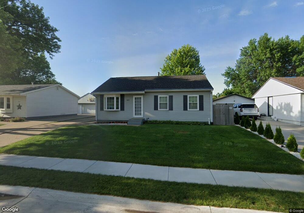
2003 W 54th St Davenport, IA 52806
North Side NeighborhoodEstimated Value: $162,327 - $173,000
3
Beds
1
Bath
864
Sq Ft
$193/Sq Ft
Est. Value
About This Home
This home is located at 2003 W 54th St, Davenport, IA 52806 and is currently estimated at $166,832, approximately $193 per square foot. 2003 W 54th St is a home located in Scott County with nearby schools including Martin Luther King Jr. Elementary School, Truman Elementary School, and Cumberland Hall School.
Ownership History
Date
Name
Owned For
Owner Type
Purchase Details
Closed on
Mar 10, 2022
Sold by
Mackenzie Rebecca Sue and Stoneking Ricky Allan
Bought by
Rbs Living Trust and Stoneking
Current Estimated Value
Create a Home Valuation Report for This Property
The Home Valuation Report is an in-depth analysis detailing your home's value as well as a comparison with similar homes in the area
Home Values in the Area
Average Home Value in this Area
Purchase History
| Date | Buyer | Sale Price | Title Company |
|---|---|---|---|
| Rbs Living Trust | $1,000 | None Listed On Document |
Source: Public Records
Tax History Compared to Growth
Tax History
| Year | Tax Paid | Tax Assessment Tax Assessment Total Assessment is a certain percentage of the fair market value that is determined by local assessors to be the total taxable value of land and additions on the property. | Land | Improvement |
|---|---|---|---|---|
| 2025 | $1,982 | $146,090 | $29,370 | $116,720 |
| 2024 | $2,046 | $134,840 | $29,370 | $105,470 |
| 2023 | $2,354 | $134,840 | $29,370 | $105,470 |
| 2022 | $2,364 | $119,120 | $22,700 | $96,420 |
| 2021 | $2,364 | $119,120 | $22,700 | $96,420 |
| 2020 | $2,152 | $107,870 | $22,700 | $85,170 |
| 2019 | $2,120 | $103,050 | $22,700 | $80,350 |
| 2018 | $2,072 | $103,050 | $22,700 | $80,350 |
| 2017 | $2,150 | $103,050 | $22,700 | $80,350 |
| 2016 | $2,066 | $103,050 | $0 | $0 |
| 2015 | $2,066 | $93,510 | $0 | $0 |
| 2014 | $1,884 | $93,510 | $0 | $0 |
| 2013 | $1,846 | $0 | $0 | $0 |
| 2012 | -- | $96,260 | $22,990 | $73,270 |
Source: Public Records
Map
Nearby Homes
- 1927 W 55th St
- 1729 Welshire Dr
- 2127 W 51st St
- 5436 N Division St
- 5109 N Pine St
- 5210 N Division St
- 5510 N Division St
- 28 W Village Cir
- 2620 W 54th St
- 5556 N Thornwood Ave
- 2434 W 59th St
- 5312 Hillandale Rd
- 2514 W 60th St
- 4705 N Sturdevant St
- 2508 W 60th Place
- 5812 Hillandale Rd
- 5824 Hillandale Rd
- 5904 Hillandale Rd
- 4406 Regency Place
- 1415 W 59th St
- 1931 W 54th St
- 2009 W 54th St
- 1925 W 54th St
- 2015 W 54th St
- 2010 Welshire Dr
- 1932 Welshire Dr
- 2004 Welshire Dr
- 2004 W 54th St
- 2010 W 54th St
- 2016 Welshire Dr
- 1932 W 54th St
- 1919 W 54th St
- 2021 W 54th St
- 1926 Welshire Dr
- 1926 W 54th St
- 2016 W 54th St
- 2022 Welshire Dr
- 1920 Welshire Dr
- 2022 W 54th St
- 5335 Kelling St