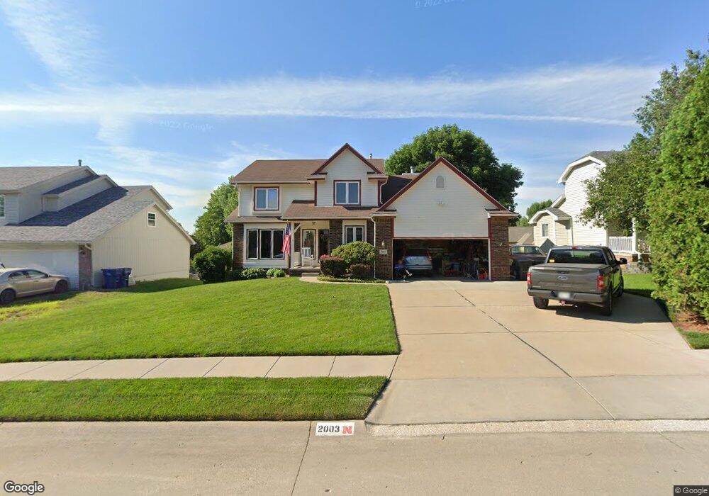
2003 Windcrest Ave Papillion, NE 68133
Estimated Value: $388,116 - $438,000
4
Beds
5
Baths
2,430
Sq Ft
$172/Sq Ft
Est. Value
About This Home
This home is located at 2003 Windcrest Ave, Papillion, NE 68133 and is currently estimated at $417,279, approximately $171 per square foot. 2003 Windcrest Ave is a home located in Sarpy County with nearby schools including Rumsey Station Elementary School, La Vista Middle School, and Papillion La Vista Senior High School.
Ownership History
Date
Name
Owned For
Owner Type
Purchase Details
Closed on
Jun 18, 2001
Sold by
Kloenne Michael T and Kloenne Angela M
Bought by
Griffith Joseph R and Griffith Karen J
Current Estimated Value
Home Financials for this Owner
Home Financials are based on the most recent Mortgage that was taken out on this home.
Original Mortgage
$196,750
Interest Rate
7.11%
Mortgage Type
VA
Create a Home Valuation Report for This Property
The Home Valuation Report is an in-depth analysis detailing your home's value as well as a comparison with similar homes in the area
Home Values in the Area
Average Home Value in this Area
Purchase History
| Date | Buyer | Sale Price | Title Company |
|---|---|---|---|
| Griffith Joseph R | $193,000 | -- |
Source: Public Records
Mortgage History
| Date | Status | Borrower | Loan Amount |
|---|---|---|---|
| Closed | Griffith Joseph R | $196,750 |
Source: Public Records
Tax History
| Year | Tax Paid | Tax Assessment Tax Assessment Total Assessment is a certain percentage of the fair market value that is determined by local assessors to be the total taxable value of land and additions on the property. | Land | Improvement |
|---|---|---|---|---|
| 2025 | $5,494 | $373,884 | $55,000 | $318,884 |
| 2024 | $6,334 | $368,213 | $55,000 | $313,213 |
| 2023 | $6,334 | $336,377 | $48,000 | $288,377 |
| 2022 | $6,052 | $296,577 | $42,000 | $254,577 |
| 2021 | $5,774 | $277,357 | $42,000 | $235,357 |
| 2020 | $5,638 | $268,129 | $36,000 | $232,129 |
| 2019 | $5,392 | $256,559 | $36,000 | $220,559 |
| 2018 | $5,896 | $243,869 | $36,000 | $207,869 |
| 2017 | $5,653 | $233,952 | $26,000 | $207,952 |
| 2016 | $5,545 | $229,070 | $26,000 | $203,070 |
| 2015 | $5,361 | $221,361 | $26,000 | $195,361 |
| 2014 | $5,045 | $216,677 | $26,000 | $190,677 |
| 2012 | -- | $214,796 | $26,000 | $188,796 |
Source: Public Records
Map
Nearby Homes
- 2009 Aberdeen Dr
- 2107 Leigh St
- 12901 S 65th St
- 604 Castle Pine Dr
- 508 Oakwood Dr
- 6215 Harvest Dr
- 605 Ruby Rd
- 2205 Alexandra Rd
- 2309 Alexandra Rd
- 9111 Alexandra Rd
- 9115 Alexandra Rd
- 2124 Betsy Ave
- 209 Sea Pines Dr
- 2141 Ashwood Ave
- 13010 S 66th Ave
- 13014 S 66th Ave
- 8811 S 65th St
- 2608 Alexandra Rd
- 9406 S 71st Ave
- 9228 S 71st Ave
- 2001 Windcrest Ave
- 2005 Windcrest Ave
- 2000 Sky Hawk Ave
- 1909 Windcrest Ave
- 2007 Windcrest Ave
- 2002 Sky Hawk Ave
- 2002 Skyhawk Ave
- 1910 Sky Hawk Ave
- 2002 Windcrest Ave
- 2004 Sky Hawk Ave
- 2000 Windcrest Ave
- 1908 Skyhawk Ave
- 1908 Sky Hawk Ave
- 1907 Windcrest Ave
- 2009 Windcrest Ave
- 2006 Windcrest Ave
- 1910 Windcrest Ave
- 2006 Sky Hawk Ave
- 1906 Sky Hawk Ave
- 1908 Windcrest Ave
Your Personal Tour Guide
Ask me questions while you tour the home.