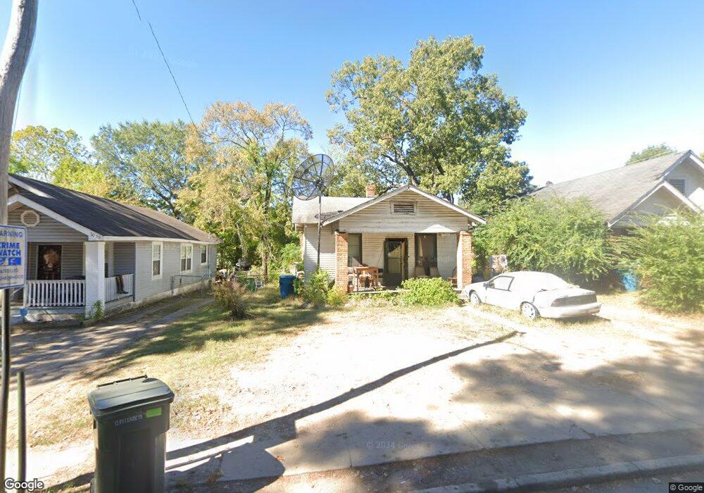
2004 Brown St Little Rock, AR 72204
Capitol View NeighborhoodEstimated Value: $57,051 - $101,000
--
Bed
1
Bath
720
Sq Ft
$111/Sq Ft
Est. Value
About This Home
This home is located at 2004 Brown St, Little Rock, AR 72204 and is currently estimated at $79,763, approximately $110 per square foot. 2004 Brown St is a home located in Pulaski County with nearby schools including Stephens Elementary School, Dunbar Magnet Middle School, and Central High School.
Ownership History
Date
Name
Owned For
Owner Type
Purchase Details
Closed on
Apr 8, 2004
Sold by
Thomas Barbara A and Sims Allen
Bought by
Hubbard Thomas Wayne
Current Estimated Value
Home Financials for this Owner
Home Financials are based on the most recent Mortgage that was taken out on this home.
Original Mortgage
$37,600
Interest Rate
9.3%
Mortgage Type
Purchase Money Mortgage
Create a Home Valuation Report for This Property
The Home Valuation Report is an in-depth analysis detailing your home's value as well as a comparison with similar homes in the area
Home Values in the Area
Average Home Value in this Area
Purchase History
| Date | Buyer | Sale Price | Title Company |
|---|---|---|---|
| Hubbard Thomas Wayne | $47,000 | Professional Land Title Comp |
Source: Public Records
Mortgage History
| Date | Status | Borrower | Loan Amount |
|---|---|---|---|
| Previous Owner | Hubbard Thomas Wayne | $37,600 | |
| Closed | Hubbard Thomas Wayne | $7,050 |
Source: Public Records
Tax History Compared to Growth
Tax History
| Year | Tax Paid | Tax Assessment Tax Assessment Total Assessment is a certain percentage of the fair market value that is determined by local assessors to be the total taxable value of land and additions on the property. | Land | Improvement |
|---|---|---|---|---|
| 2024 | $264 | $6,057 | $700 | $5,357 |
| 2023 | $264 | $6,057 | $700 | $5,357 |
| 2022 | $252 | $6,057 | $700 | $5,357 |
| 2021 | $242 | $3,430 | $200 | $3,230 |
| 2020 | $240 | $3,430 | $200 | $3,230 |
| 2019 | $233 | $3,430 | $200 | $3,230 |
| 2018 | $233 | $3,430 | $200 | $3,230 |
| 2017 | $213 | $3,430 | $200 | $3,230 |
| 2016 | $203 | $5,770 | $400 | $5,370 |
| 2015 | $178 | $2,784 | $400 | $2,384 |
| 2014 | $178 | $2,544 | $400 | $2,144 |
Source: Public Records
Map
Nearby Homes
- 2109 Brown St
- 2205 S Martin St
- 1900 & 1904 Valmar St
- 2200 Valmar St
- 3401 W 17th St
- 3403 W 17th St
- 1823 Johnson St
- 3700 W Charles Bussey Ave
- 1617 S Valentine St
- 3112 W 16th St
- 3123 W 15th St
- 1418 S Martin St
- 2118 S Pine St
- 2600 S Pine St
- 1609 S Woodrow St
- 1519 S Oak St
- 2405 S Pine St
- 1520 S Oak St
- 2501 S Pine St
- 1706 S Cedar St
- 2000 Brown St
- 2008 Brown St
- 1920 Brown St
- 2016 Brown St
- 2001 S Martin St
- 2009 S Martin St
- 2005 S Martin St
- 2005 Brown St
- 2001 Brown St
- 2009 Brown St
- 2015 S Martin St
- 1916 Brown St
- 2013 Brown St
- 1923 S Martin St
- 2019 S Martin St
- 1921 Brown St
- 2017 Brown St
- 1912 Brown St
- 1917 S Martin St
- 2100 Brown St