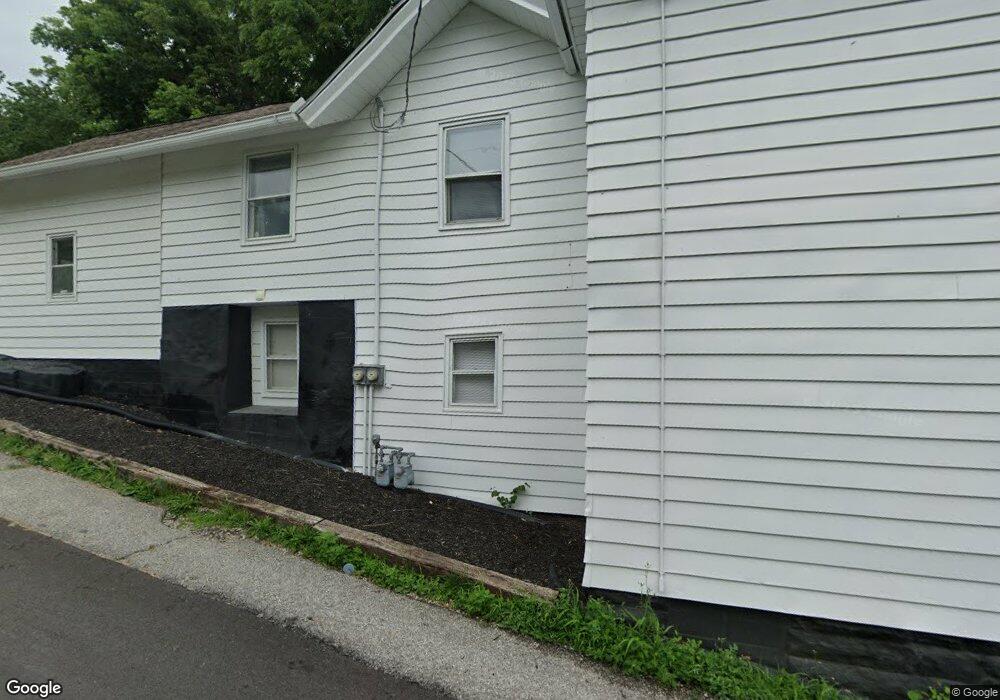
2004 E 12th St Davenport, IA 52803
East End NeighborhoodEstimated Value: $129,000 - $151,000
5
Beds
3
Baths
2,521
Sq Ft
$54/Sq Ft
Est. Value
About This Home
This home is located at 2004 E 12th St, Davenport, IA 52803 and is currently estimated at $137,109, approximately $54 per square foot. 2004 E 12th St is a home located in Scott County with nearby schools including McKinley Elementary School, Sudlow Intermediate School, and Central High School.
Ownership History
Date
Name
Owned For
Owner Type
Purchase Details
Closed on
Jun 23, 2025
Sold by
Badger Capital Llc
Bought by
Gij Llc
Current Estimated Value
Home Financials for this Owner
Home Financials are based on the most recent Mortgage that was taken out on this home.
Original Mortgage
$210,000
Outstanding Balance
$105,885
Interest Rate
6.76%
Mortgage Type
Construction
Estimated Equity
$31,224
Purchase Details
Closed on
Oct 7, 2021
Sold by
Ed Holdings Llc
Bought by
Ed Holdings Llc
Purchase Details
Closed on
Mar 21, 2005
Sold by
Poll Gene and Poll Cheric
Bought by
Milford Adelaide L and Milford Stephen K
Create a Home Valuation Report for This Property
The Home Valuation Report is an in-depth analysis detailing your home's value as well as a comparison with similar homes in the area
Home Values in the Area
Average Home Value in this Area
Purchase History
| Date | Buyer | Sale Price | Title Company |
|---|---|---|---|
| Gij Llc | $126,000 | None Listed On Document | |
| Ed Holdings Llc | -- | None Available | |
| Milford Adelaide L | $75,000 | None Available |
Source: Public Records
Mortgage History
| Date | Status | Borrower | Loan Amount |
|---|---|---|---|
| Open | Gij Llc | $210,000 |
Source: Public Records
Tax History
| Year | Tax Paid | Tax Assessment Tax Assessment Total Assessment is a certain percentage of the fair market value that is determined by local assessors to be the total taxable value of land and additions on the property. | Land | Improvement |
|---|---|---|---|---|
| 2025 | $1,850 | $123,880 | $15,400 | $108,480 |
| 2024 | $1,806 | $103,540 | $15,400 | $88,140 |
| 2023 | $2,040 | $103,540 | $15,400 | $88,140 |
| 2022 | $2,050 | $95,490 | $9,240 | $86,250 |
| 2021 | $2,050 | $95,490 | $9,240 | $86,250 |
| 2020 | $2,074 | $95,490 | $9,240 | $86,250 |
| 2019 | $1,966 | $87,650 | $9,240 | $78,410 |
| 2018 | $1,838 | $87,650 | $9,240 | $78,410 |
| 2017 | $466 | $83,730 | $9,240 | $74,490 |
| 2016 | $1,836 | $83,860 | $0 | $0 |
| 2015 | $1,836 | $82,630 | $0 | $0 |
| 2014 | $1,836 | $74,370 | $0 | $0 |
| 2013 | $1,624 | $0 | $0 | $0 |
| 2012 | -- | $78,660 | $8,050 | $70,610 |
Source: Public Records
Map
Nearby Homes
- 1928 E 11th St
- 1608 E 12th St
- 1504 Christie St
- 1202 Adams St
- 1325 Mississippi Ave
- 2316 East St
- 1515 Jersey Ridge Rd
- 2107 E Locust St
- 2109 E Locust St
- 1803 Belle Ave
- 1816 Belle Ave
- 71 Crestwood Terrace
- 1815 Belle Ave
- 2538 Fulton Ave
- 2134 E Locust St
- 2509 East St
- 1220 College Ave
- 1102 College Ave
- 1224 E 11th St
- 1616 Esplanade Ave
- 2004 E 12th St Unit 2
- 2008 E 12th St
- 2010 E 12th St
- 1922 E 12th St
- 2014 E 12th St
- 2001 E 13th St
- 2003 E 12th St
- 2020 E 12th St
- 2009 E 13th St
- 1931 E 13th St
- 1931 - 1931 1 2 E 13th
- 2017 E 13th St
- 1929 E 12th St
- 1923 E 13th St
- 2013 E 12th St
- 1123 Hildreth St
- 2021 E 13th St
- 2019 E 12th St
- 1921 E 13th St
- 1916 E 12th St
Your Personal Tour Guide
Ask me questions while you tour the home.