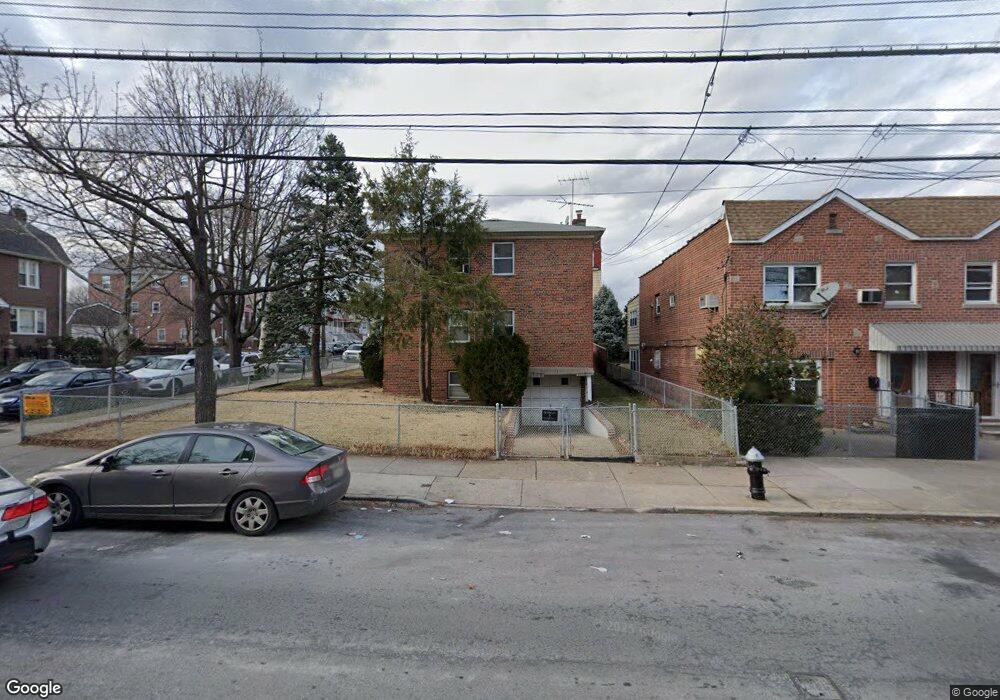
2004 Lurting Ave Bronx, NY 10461
Morris Park NeighborhoodEstimated Value: $883,353 - $1,058,000
--
Bed
--
Bath
2,688
Sq Ft
$375/Sq Ft
Est. Value
About This Home
This home is located at 2004 Lurting Ave, Bronx, NY 10461 and is currently estimated at $1,007,338, approximately $374 per square foot. 2004 Lurting Ave is a home located in Bronx County with nearby schools including P.S. 108 Philip J Abinanti, J.H.S. 144 Michelangelo, and Emblaze Academy Charter School.
Ownership History
Date
Name
Owned For
Owner Type
Purchase Details
Closed on
Aug 18, 2014
Sold by
Reda Clara
Bought by
The Clara Reda Family Rtust and Reda ( Trustee ), Nicholas C
Current Estimated Value
Purchase Details
Closed on
Aug 29, 2005
Sold by
Campbell James K and Champbell-Brown Denise
Bought by
Hoyte Gary and Stewart-Graham Eulette
Home Financials for this Owner
Home Financials are based on the most recent Mortgage that was taken out on this home.
Original Mortgage
$360,000
Interest Rate
5.84%
Mortgage Type
Purchase Money Mortgage
Create a Home Valuation Report for This Property
The Home Valuation Report is an in-depth analysis detailing your home's value as well as a comparison with similar homes in the area
Home Values in the Area
Average Home Value in this Area
Purchase History
| Date | Buyer | Sale Price | Title Company |
|---|---|---|---|
| The Clara Reda Family Rtust | -- | -- | |
| Hoyte Gary | -- | -- |
Source: Public Records
Mortgage History
| Date | Status | Borrower | Loan Amount |
|---|---|---|---|
| Previous Owner | Hoyte Gary | $360,000 | |
| Closed | Hoyte Gary | $67,500 |
Source: Public Records
Tax History Compared to Growth
Tax History
| Year | Tax Paid | Tax Assessment Tax Assessment Total Assessment is a certain percentage of the fair market value that is determined by local assessors to be the total taxable value of land and additions on the property. | Land | Improvement |
|---|---|---|---|---|
| 2025 | $3,889 | $53,222 | $11,332 | $41,890 |
| 2024 | $3,889 | $51,322 | $10,123 | $41,199 |
| 2023 | $4,034 | $51,215 | $9,776 | $41,439 |
| 2022 | $3,446 | $53,100 | $12,060 | $41,040 |
| 2021 | $3,559 | $53,280 | $12,060 | $41,220 |
| 2020 | $3,506 | $53,040 | $12,060 | $40,980 |
| 2019 | $3,291 | $50,280 | $12,060 | $38,220 |
| 2014 | $1,728 | $35,640 | $13,380 | $22,260 |
Source: Public Records
Map
Nearby Homes
- 1059 Neill Ave
- 1963 Hone Ave
- 1054 Lydig Ave
- 1088 Lydig Ave
- 1958 Colden Ave
- 1917 Lurting Ave
- 2116 Paulding Ave
- 2037 Radcliff Ave
- 1903 Tomlinson Ave
- 1859 Hone Ave
- - Lydig Ave
- 1004 Rhinelander Ave
- 1116 Rhinelander Ave
- 2166 Paulding Ave
- 1855 Williamsbridge Rd
- 1925 Bogart Ave
- 1832 Haight Ave
- 2129 Muliner Ave
- 2080 Matthews Ave
- 1819 Haight Ave
- 1083 Neill Ave
- 1085 Neill Ave
- 2010 Lurting Ave
- 1087 Neill Ave
- 2012 Lurting Ave
- 1089 Neill Ave
- 2003 Lurting Ave
- 2016 Lurting Ave
- 2003 Haight Ave
- 2011 Lurting Ave Unit 3
- 2011 Lurting Ave
- 1091 Neill Ave
- 2015 Haight Ave
- 2015 Haight Ave Unit 1
- 1093 Neill Ave
- 2018 Lurting Ave
- 1964 Lurting Ave
- 2017 Haight Ave
- 2013 Lurting Ave
- 1080 Neill Ave