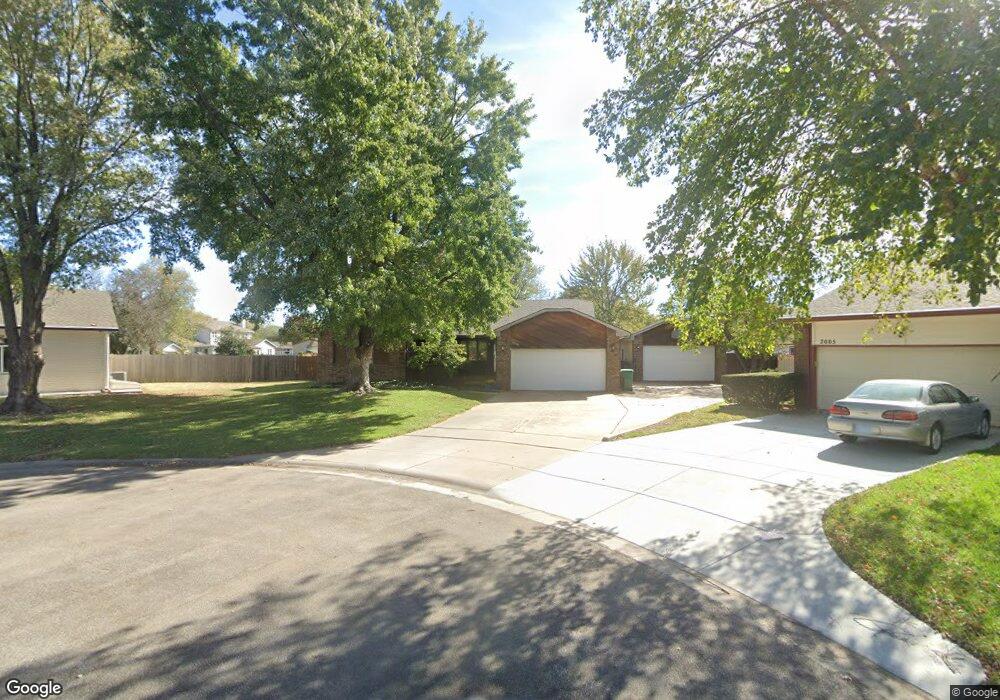
2004 N Keith Cir Wichita, KS 67212
West Wichita NeighborhoodEstimated Value: $269,453 - $270,000
3
Beds
2
Baths
1,696
Sq Ft
$159/Sq Ft
Est. Value
About This Home
This home is located at 2004 N Keith Cir, Wichita, KS 67212 and is currently estimated at $269,727, approximately $159 per square foot. 2004 N Keith Cir is a home located in Sedgwick County with nearby schools including Vermillion Elementary School, Maize South Elementary School, and Pray-Woodman Elementary.
Ownership History
Date
Name
Owned For
Owner Type
Purchase Details
Closed on
Oct 20, 2000
Sold by
Solt Mark William
Bought by
Vogel Bret C and Vogel Melissa
Current Estimated Value
Home Financials for this Owner
Home Financials are based on the most recent Mortgage that was taken out on this home.
Original Mortgage
$108,000
Outstanding Balance
$39,471
Interest Rate
7.95%
Estimated Equity
$230,256
Create a Home Valuation Report for This Property
The Home Valuation Report is an in-depth analysis detailing your home's value as well as a comparison with similar homes in the area
Home Values in the Area
Average Home Value in this Area
Purchase History
| Date | Buyer | Sale Price | Title Company |
|---|---|---|---|
| Vogel Bret C | -- | Columbian Natl Title Ins Co |
Source: Public Records
Mortgage History
| Date | Status | Borrower | Loan Amount |
|---|---|---|---|
| Open | Vogel Bret C | $108,000 |
Source: Public Records
Tax History Compared to Growth
Tax History
| Year | Tax Paid | Tax Assessment Tax Assessment Total Assessment is a certain percentage of the fair market value that is determined by local assessors to be the total taxable value of land and additions on the property. | Land | Improvement |
|---|---|---|---|---|
| 2025 | $3,063 | $29,498 | $6,383 | $23,115 |
| 2023 | $3,063 | $26,025 | $4,876 | $21,149 |
| 2022 | $2,930 | $24,150 | $4,600 | $19,550 |
| 2021 | $2,722 | $22,356 | $3,059 | $19,297 |
| 2020 | $2,722 | $22,356 | $3,059 | $19,297 |
| 2019 | $2,517 | $20,700 | $3,059 | $17,641 |
| 2018 | $2,392 | $19,711 | $2,622 | $17,089 |
| 2017 | $2,221 | $0 | $0 | $0 |
| 2016 | $2,220 | $0 | $0 | $0 |
| 2015 | $2,131 | $0 | $0 | $0 |
| 2014 | $2,167 | $0 | $0 | $0 |
Source: Public Records
Map
Nearby Homes
- 9029 W Westlawn St
- 9111 W 21st St N
- 9017 W Westlawn St
- 9005 W Westlawn St
- 9706 W Bella Vista St
- 9802 W Cornelison St
- 2212 N Chadsworth St
- 8911 W Jamesburg St
- 9117 W Westport St
- 8803 W 18th Ct N
- 2406 N Watersedge Cir
- 1842 N Cheryl Ct
- 2206 N Chadsworth St
- 9701 W Greenspoint St
- 1736 N Amarado St
- 2416 N Amarado St
- 9702 W Greenspoint St
- 9706 W Greenspoint St
- 9409 W Sterling St
- 2425 N Baytree St
- 2005 N Keith Cir
- 2010 N Keith Cir
- 2012 N Murray St
- 2016 N Murray St
- 2008 N Murray St
- 9244 W Westlawn St
- 2011 N Westfield St
- 2011 N Keith Cir
- 2004 N Murray St
- 2018 N Keith Cir
- 2022 N Murray St
- 2019 N Westfield St
- 2017 N Keith Cir
- 2005 N Westfield St
- 2027 N Westfield St
- 2024 N Keith Cir
- 2030 N Murray St
- 2042 N Murray St
- 2025 N Keith Cir
- 2015 N Murray St