2004 Walnutside Place Charlottesville, VA 22901
West Charlottesville NeighborhoodEstimated Value: $1,127,000 - $1,552,100
1
Bed
2
Baths
1,930
Sq Ft
$718/Sq Ft
Est. Value
About This Home
This home is located at 2004 Walnutside Place, Charlottesville, VA 22901 and is currently estimated at $1,384,775, approximately $717 per square foot. 2004 Walnutside Place is a home located in Albemarle County with nearby schools including Ivy Elementary School, Joseph T. Henley Middle School, and Western Albemarle High School.
Ownership History
Date
Name
Owned For
Owner Type
Purchase Details
Closed on
Jun 29, 2014
Sold by
Strret Between D P and Street Stephen S
Bought by
Giglia Joseph and Webb-Giglia Deborah
Current Estimated Value
Purchase Details
Closed on
Oct 1, 2008
Sold by
Olton Katherine R and Olton Katherine Bates
Bought by
Street Stephen S and Street Clarissa
Create a Home Valuation Report for This Property
The Home Valuation Report is an in-depth analysis detailing your home's value as well as a comparison with similar homes in the area
Home Values in the Area
Average Home Value in this Area
Purchase History
| Date | Buyer | Sale Price | Title Company |
|---|---|---|---|
| Giglia Joseph | $600,000 | Chicago Title | |
| Street Stephen S | -- | -- |
Source: Public Records
Tax History Compared to Growth
Tax History
| Year | Tax Paid | Tax Assessment Tax Assessment Total Assessment is a certain percentage of the fair market value that is determined by local assessors to be the total taxable value of land and additions on the property. | Land | Improvement |
|---|---|---|---|---|
| 2025 | $10,710 | $1,392,500 | $546,200 | $846,300 |
| 2024 | $11,163 | $1,307,200 | $427,400 | $879,800 |
| 2023 | $10,468 | $1,225,800 | $403,900 | $821,900 |
| 2022 | $8,641 | $1,011,800 | $364,100 | $647,700 |
| 2021 | $7,829 | $916,800 | $340,600 | $576,200 |
| 2020 | $7,613 | $891,500 | $329,300 | $562,200 |
| 2019 | $7,272 | $851,500 | $329,300 | $522,200 |
| 2018 | $6,452 | $767,400 | $329,300 | $438,100 |
| 2017 | $6,465 | $770,600 | $329,300 | $441,300 |
| 2016 | $6,084 | $725,200 | $329,300 | $395,900 |
| 2015 | $5,884 | $718,400 | $329,300 | $389,100 |
| 2014 | -- | $761,900 | $365,900 | $396,000 |
Source: Public Records
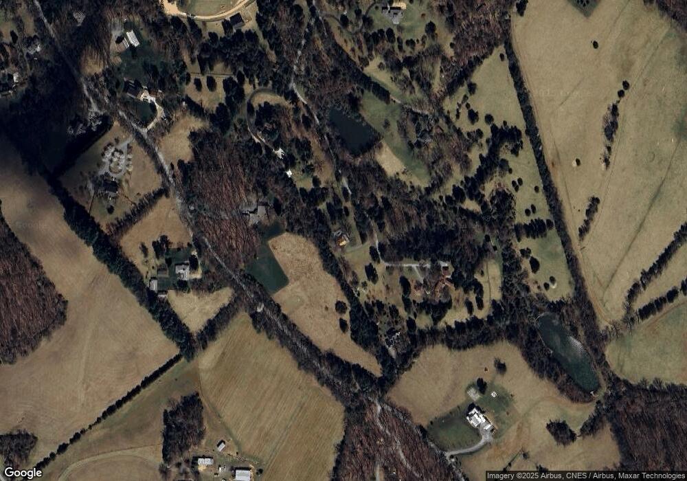
Map
Nearby Homes
- 2280 Garth Rd
- 2482 Schelford Farm Rd
- 018E7 Garth Gate Ln Unit 18E7
- 018E7 Garth Gate Ln
- 2620 Wind River Rd
- TBD Owensville Rd Unit 70A0
- TBD Owensville Rd
- TBD Decca Ln
- 3228 Garth Rd
- 1462 Owensville Rd
- PARCEL 54 Free Union Rd
- lot 30 Emerson Dr
- 3395 Brookside Dr
- 775 Tanglewood Rd
- 0 Bloomfield Rd Unit 670832
- 3972 Ivy Rd
- TBD Lakeside Dr
- 2 Morgantown Rd
- 3 Morgantown Rd
- 2011 Catlin Rd
- 1975 Walnutside Place
- 1939 Catlin Rd
- 0 Catlin Rd
- 2037 Walnutside Ln
- 2078 Walnutside Place
- 2026 Walnutside Ln
- 2010 Catlin Rd
- 1915 Catlin Rd
- 2098 Walnutside Ln
- 2030 Catlin Rd
- 2021 Catlin Rd
- 00 Catlin Rd
- 2068 Walnutside Ln
- 2050 Catlin Rd
- 1857 Clay Hill Rd
- 1045 Quail Hollow Ln
- 1898 Catlin Rd
- 2151 Walnutside Ln
- 1043 Quail Hollow Ln