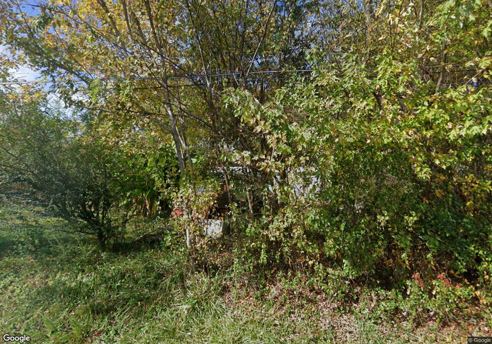
2005 Conklin Rd Limestone, TN 37681
Estimated Value: $165,000 - $200,000
3
Beds
2
Baths
946
Sq Ft
$193/Sq Ft
Est. Value
About This Home
This home is located at 2005 Conklin Rd, Limestone, TN 37681 and is currently estimated at $182,500, approximately $192 per square foot. 2005 Conklin Rd is a home located in Washington County with nearby schools including West View School and David Crockett High School.
Ownership History
Date
Name
Owned For
Owner Type
Purchase Details
Closed on
Dec 31, 2012
Sold by
Hunt Dwight
Bought by
Hunt Millard Dwight Irrevocable Trust
Current Estimated Value
Purchase Details
Closed on
Oct 26, 2011
Sold by
Booth Joe Ward
Bought by
Hunt Dwight
Purchase Details
Closed on
Nov 8, 1994
Sold by
Ellis David M
Bought by
Tibbs Frank L
Purchase Details
Closed on
May 5, 1982
Bought by
Ellis David M and Mecke Roy A
Create a Home Valuation Report for This Property
The Home Valuation Report is an in-depth analysis detailing your home's value as well as a comparison with similar homes in the area
Purchase History
| Date | Buyer | Sale Price | Title Company |
|---|---|---|---|
| Hunt Millard Dwight Irrevocable Trust | -- | -- | |
| Adams Robin H | -- | -- | |
| Hunt Dwight | -- | -- | |
| Hunt Dwight | -- | -- | |
| Tibbs Frank L | $16,100 | -- | |
| Ellis David M | $20,000 | -- |
Source: Public Records
Tax History
| Year | Tax Paid | Tax Assessment Tax Assessment Total Assessment is a certain percentage of the fair market value that is determined by local assessors to be the total taxable value of land and additions on the property. | Land | Improvement |
|---|---|---|---|---|
| 2025 | $169 | $28,350 | $8,575 | $19,775 |
| 2024 | $169 | $28,350 | $8,575 | $19,775 |
| 2022 | $227 | $10,575 | $5,100 | $5,475 |
| 2021 | $227 | $10,575 | $5,100 | $5,475 |
| 2020 | $227 | $10,575 | $5,100 | $5,475 |
| 2019 | $203 | $10,575 | $5,100 | $5,475 |
| 2018 | $203 | $8,525 | $5,100 | $3,425 |
| 2017 | $203 | $8,525 | $5,100 | $3,425 |
| 2016 | $203 | $8,525 | $5,100 | $3,425 |
| 2015 | $169 | $8,525 | $5,100 | $3,425 |
| 2014 | $169 | $8,525 | $5,100 | $3,425 |
Source: Public Records
Map
Nearby Homes
- 286 Brobeck Hill Rd
- 370 Laws Rd
- 2035 Highway 107
- 290 Bill Mauk Rd
- 290 Bill Mauk Rd
- 1861 Corby Bridge Rd
- 131 Brown Dr
- Lot-3 Bailey Bridge Rd
- Lot-4 Bailey Bridge Rd
- 1576 Corby Bridge Rd
- Tbd Dillow Hill Dr
- 185 Lester Snapp Rd Unit 2
- 15.59 Ac Lester Snapp Rd
- 185 Lester Snapp Rd Unit Lot 1
- 186 Liberty Hill Rd
- 1320 Corby Bridge Rd
- 639 Bailey Bridge Rd
- Tbd Honeysuckle Ln
- 489 Bill West Rd
- Tbd Erwin Hwy
- 102 Paul Henley Rd
- 1992 Conklin Rd
- 2014 Conklin Rd
- 1983 Conklin Rd
- 2031 Conklin Rd
- 2020 Conklin Rd
- 1984 Conklin Rd
- 1984 Conklin Rd
- 130 Paul Henley Rd
- 1970 Conklin Rd
- 121 Paul Henley Rd
- 1965 Conklin Rd
- 119 Brobeck Hill Rd
- 123 Paul Henley Rd
- 127 Brobeck Hill Rd
- 127 Brobeck Hill Rd Unit 1
- 135 Paul Henley Rd
- 1959 Conklin Rd
- 121 Brobeck Hill Rd
- 138 Paul Henley Rd
Your Personal Tour Guide
Ask me questions while you tour the home.