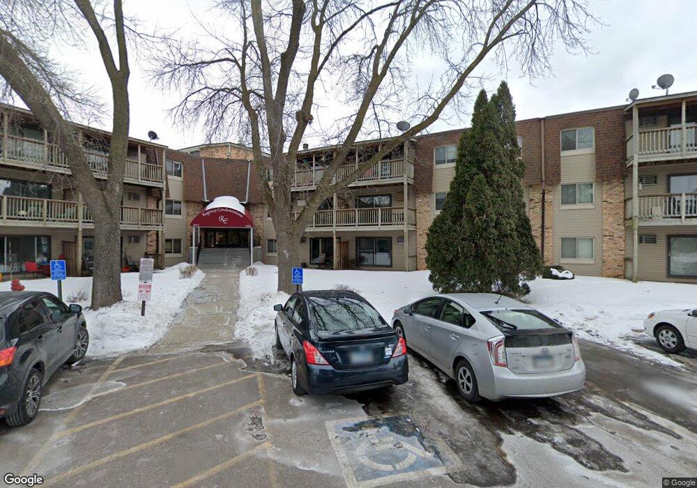
2005 E 122nd St Unit A8 Burnsville, MN 55337
Estimated Value: $120,168 - $127,000
2
Beds
2
Baths
1,010
Sq Ft
$123/Sq Ft
Est. Value
About This Home
This home is located at 2005 E 122nd St Unit A8, Burnsville, MN 55337 and is currently estimated at $123,792, approximately $122 per square foot. 2005 E 122nd St Unit A8 is a home located in Dakota County with nearby schools including William Byrne Elementary School, Burnsville High School, and Gateway STEM Academy.
Ownership History
Date
Name
Owned For
Owner Type
Purchase Details
Closed on
Feb 15, 2018
Sold by
Minnesota Housing Finance Agency
Bought by
Raimis Construction Llc
Current Estimated Value
Home Financials for this Owner
Home Financials are based on the most recent Mortgage that was taken out on this home.
Original Mortgage
$62,000
Outstanding Balance
$52,808
Interest Rate
4.22%
Mortgage Type
Future Advance Clause Open End Mortgage
Estimated Equity
$70,984
Purchase Details
Closed on
Dec 7, 2017
Sold by
Dahlstrom Jesse R
Bought by
Regency Homeowners Association
Purchase Details
Closed on
Nov 30, 2017
Sold by
Dahlstrom Jesse R
Bought by
Minnesota Housing Finance Agency
Purchase Details
Closed on
Jan 14, 2002
Sold by
Safi Michael and Safi Patricia
Bought by
Kirsch Martin and Kirsch Kathy
Purchase Details
Closed on
Nov 16, 2001
Sold by
Barnard Allen L
Bought by
Dafi Michael
Create a Home Valuation Report for This Property
The Home Valuation Report is an in-depth analysis detailing your home's value as well as a comparison with similar homes in the area
Home Values in the Area
Average Home Value in this Area
Purchase History
| Date | Buyer | Sale Price | Title Company |
|---|---|---|---|
| Raimis Construction Llc | $72,211 | None Available | |
| Regency Homeowners Association | $5,414 | None Available | |
| Minnesota Housing Finance Agency | $60,480 | None Available | |
| Kirsch Martin | $93,000 | -- | |
| Dafi Michael | $85,405 | -- |
Source: Public Records
Mortgage History
| Date | Status | Borrower | Loan Amount |
|---|---|---|---|
| Open | Raimis Construction Llc | $62,000 |
Source: Public Records
Tax History Compared to Growth
Tax History
| Year | Tax Paid | Tax Assessment Tax Assessment Total Assessment is a certain percentage of the fair market value that is determined by local assessors to be the total taxable value of land and additions on the property. | Land | Improvement |
|---|---|---|---|---|
| 2024 | $1,306 | $122,700 | $12,000 | $110,700 |
| 2023 | $1,306 | $124,100 | $12,500 | $111,600 |
| 2022 | $1,158 | $121,400 | $12,200 | $109,200 |
| 2021 | $1,146 | $107,500 | $10,800 | $96,700 |
| 2020 | $1,080 | $100,800 | $10,200 | $90,600 |
| 2019 | $656 | $91,500 | $9,200 | $82,300 |
| 2018 | $637 | $77,100 | $7,800 | $69,300 |
| 2017 | $539 | $72,500 | $7,300 | $65,200 |
| 2016 | $527 | $61,300 | $6,200 | $55,100 |
| 2015 | $423 | $34,500 | $3,480 | $31,020 |
| 2014 | -- | $28,620 | $2,880 | $25,740 |
| 2013 | -- | $22,920 | $2,340 | $20,580 |
Source: Public Records
Map
Nearby Homes
- 2011 E 122nd St Unit D24
- 2009 E 122nd St Unit C8
- 2005 E 122nd St Unit A7
- 2005 E 122nd St Unit A14
- 2007 E 122nd St Unit B15
- 12232 Oak Leaf Cir
- 2301 Connelly Cir
- 12316 Michelle Cir
- 2400 E 125th St
- 1966 Skyline Dr S
- 1609 Riverwood Dr
- 12420 Chippewa Ln
- 1731 Riverwood Dr
- 2520 Allen Dr
- 1853 Riverwood Dr Unit 4
- 2200 Horizon Rd
- 1800 Riverwood Dr Unit 110
- 1800 Riverwood Dr Unit 323
- 12284 River Valley Dr
- 12276 River Valley Dr
- 2005 E 122nd St Unit A97
- 2005 E 122nd St Unit A24
- 2005 E 122nd St Unit A22
- 2005 E 122nd St Unit A21
- 2005 E 122nd St Unit A20
- 2005 E 122nd St Unit A19
- 2005 E 122nd St Unit A18
- 2005 E 122nd St Unit A17
- 2005 E 122nd St Unit A16
- 2005 E 122nd St Unit A15
- 2005 E 122nd St Unit A13
- 2005 E 122nd St Unit A12
- 2005 E 122nd St Unit A11
- 2005 E 122nd St Unit A10
- 2005 E 122nd St Unit A9
- 2005 E 122nd St Unit A6
- 2005 E 122nd St Unit A5
- 2005 E 122nd St Unit A4
- 2005 E 122nd St Unit A3
- 2005 E 122nd St Unit A2