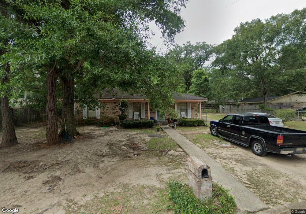
2005 Holleman Dr Mobile, AL 36618
Autumndale NeighborhoodEstimated Value: $91,976 - $140,000
3
Beds
2
Baths
1,196
Sq Ft
$94/Sq Ft
Est. Value
About This Home
This home is located at 2005 Holleman Dr, Mobile, AL 36618 and is currently estimated at $112,744, approximately $94 per square foot. 2005 Holleman Dr is a home located in Mobile County with nearby schools including Forest Hill Elementary School, CL Scarborough Middle School, and Mattie T Blount High School.
Ownership History
Date
Name
Owned For
Owner Type
Purchase Details
Closed on
Aug 6, 2025
Sold by
Us Bank Trust National Association and Rcaf Acquisition Trust
Bought by
Rcaf Acquisition Trust and Mortgage Electronic Registration Systems Inc
Current Estimated Value
Purchase Details
Closed on
May 28, 2010
Sold by
James Chippie
Bought by
Scruggs Ida M
Home Financials for this Owner
Home Financials are based on the most recent Mortgage that was taken out on this home.
Original Mortgage
$73,904
Interest Rate
5.25%
Mortgage Type
FHA
Create a Home Valuation Report for This Property
The Home Valuation Report is an in-depth analysis detailing your home's value as well as a comparison with similar homes in the area
Home Values in the Area
Average Home Value in this Area
Purchase History
| Date | Buyer | Sale Price | Title Company |
|---|---|---|---|
| Rcaf Acquisition Trust | $119,496 | None Listed On Document | |
| Scruggs Ida M | $74,900 | Reli Inc |
Source: Public Records
Mortgage History
| Date | Status | Borrower | Loan Amount |
|---|---|---|---|
| Previous Owner | Scruggs Ida M | $73,904 |
Source: Public Records
Tax History
| Year | Tax Paid | Tax Assessment Tax Assessment Total Assessment is a certain percentage of the fair market value that is determined by local assessors to be the total taxable value of land and additions on the property. | Land | Improvement |
|---|---|---|---|---|
| 2025 | $816 | $12,700 | $1,800 | $10,900 |
| 2024 | $816 | $6,030 | $900 | $5,130 |
| 2023 | $776 | $5,940 | $900 | $5,040 |
| 2022 | $720 | $5,670 | $900 | $4,770 |
| 2021 | $673 | $5,300 | $720 | $4,580 |
| 2020 | $650 | $5,120 | $540 | $4,580 |
| 2019 | $625 | $9,840 | $0 | $0 |
| 2018 | $625 | $9,840 | $0 | $0 |
| 2017 | $592 | $9,320 | $0 | $0 |
| 2016 | $817 | $12,860 | $0 | $0 |
| 2013 | $867 | $12,380 | $0 | $0 |
Source: Public Records
Map
Nearby Homes
- 1930 Le Jeune Dr
- 2004 Beau Terra Dr W
- 2205 Beau Terra Dr W
- 4060 Dickson Ln
- 1758 La Pine Dr
- 1757 Le Grande Dr
- 2210 Wolf Ridge Rd
- 0 Junius Ln
- 4409 Eastview Dr
- 1561 Phillips Ln
- 1701 Phillips Ln
- 6632 Monarch Cir
- 1553 Phillips Ln
- 1811 Butler St
- 3531 Anton St
- 3514 Anton St
- 4636 Saint Charles Ct
- 2621 Berkley Ave
- 1121 Stevens Ln
- 6 Brucewood Dr W
- 2001 Holleman Cir S
- 2004 Holleman Cir S
- 2017 Holleman Cir N
- 2008 Holleman Dr
- 2013 Holleman Dr
- 2004 Holleman Dr
- 0 Holleman Dr
- 2012 Holleman Dr
- 2019 Holleman Cir N
- 2000 Holleman Dr
- 2008 Holleman Cir S
- 2016 Holleman Dr
- 4000 Holleman Dr
- 2005 Holleman Cir S
- 2021 Holleman Cir N
- 2108 Baker Rd
- 2104 Baker Rd
- 2112 Baker Rd
- 4001 Holleman Dr
- 2027 Holleman Cir N
Your Personal Tour Guide
Ask me questions while you tour the home.