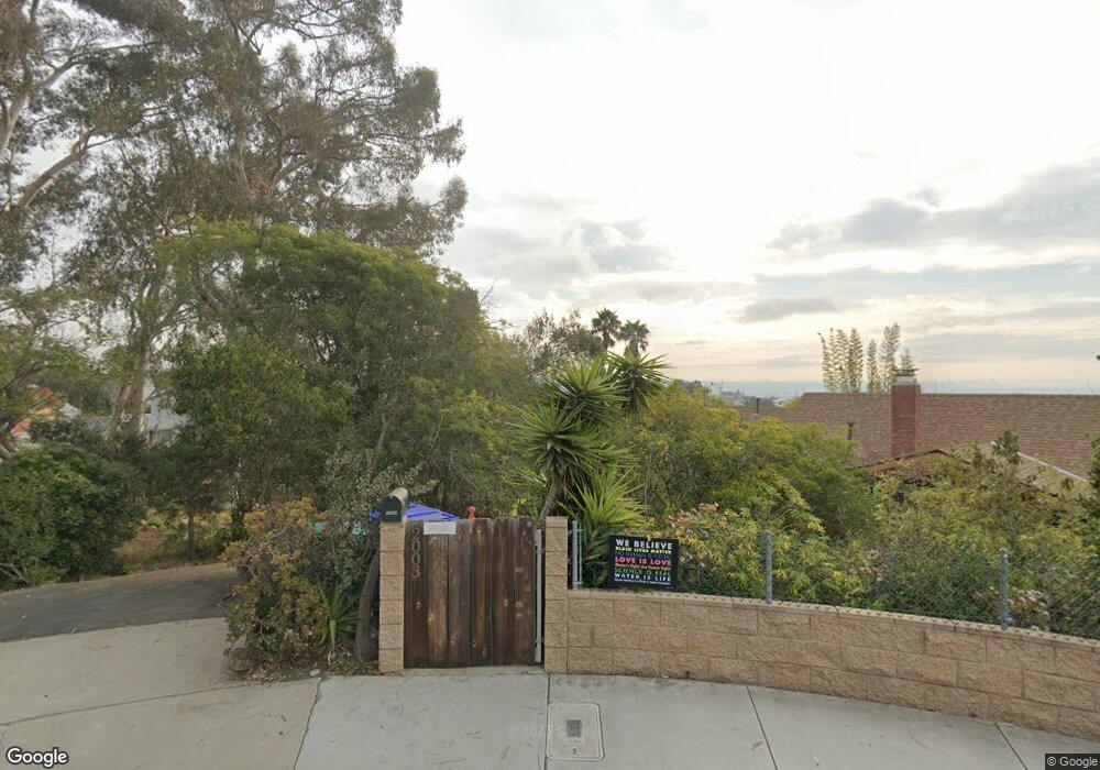
2005 Loring St San Diego, CA 92109
Pacific Beach NeighborhoodEstimated Value: $2,435,880 - $2,675,000
3
Beds
3
Baths
2,424
Sq Ft
$1,049/Sq Ft
Est. Value
About This Home
This home is located at 2005 Loring St, San Diego, CA 92109 and is currently estimated at $2,543,470, approximately $1,049 per square foot. 2005 Loring St is a home located in San Diego County with nearby schools including Sessions Elementary School, Pacific Beach Middle, and Mission Bay High School.
Ownership History
Date
Name
Owned For
Owner Type
Purchase Details
Closed on
Jun 7, 2013
Sold by
Binn David A
Bought by
Binn David A
Current Estimated Value
Home Financials for this Owner
Home Financials are based on the most recent Mortgage that was taken out on this home.
Original Mortgage
$484,500
Outstanding Balance
$342,951
Interest Rate
3.38%
Mortgage Type
New Conventional
Estimated Equity
$2,200,519
Purchase Details
Closed on
Jun 3, 1983
Create a Home Valuation Report for This Property
The Home Valuation Report is an in-depth analysis detailing your home's value as well as a comparison with similar homes in the area
Home Values in the Area
Average Home Value in this Area
Purchase History
| Date | Buyer | Sale Price | Title Company |
|---|---|---|---|
| Binn David A | -- | Ticor Title San Diego Branch | |
| Binn David A | -- | Ticor Title San Diego Branch | |
| -- | $379,400 | -- |
Source: Public Records
Mortgage History
| Date | Status | Borrower | Loan Amount |
|---|---|---|---|
| Open | Binn David A | $484,500 | |
| Closed | Binn David A | $484,500 |
Source: Public Records
Tax History Compared to Growth
Tax History
| Year | Tax Paid | Tax Assessment Tax Assessment Total Assessment is a certain percentage of the fair market value that is determined by local assessors to be the total taxable value of land and additions on the property. | Land | Improvement |
|---|---|---|---|---|
| 2025 | $10,959 | $907,305 | $643,852 | $263,453 |
| 2024 | $10,959 | $889,516 | $631,228 | $258,288 |
| 2023 | $10,717 | $872,075 | $618,851 | $253,224 |
| 2022 | $10,432 | $854,976 | $606,717 | $248,259 |
| 2021 | $10,361 | $838,213 | $594,821 | $243,392 |
| 2020 | $10,236 | $829,619 | $588,722 | $240,897 |
| 2019 | $10,053 | $813,353 | $577,179 | $236,174 |
| 2018 | $9,399 | $797,406 | $565,862 | $231,544 |
| 2017 | $80 | $781,771 | $554,767 | $227,004 |
| 2016 | $9,030 | $766,443 | $543,890 | $222,553 |
| 2015 | $8,897 | $754,932 | $535,721 | $219,211 |
| 2014 | $8,757 | $740,144 | $525,227 | $214,917 |
Source: Public Records
Map
Nearby Homes
- 1981 Wilbur Ave
- 1978 Beryl St
- 2104 Crownhill Rd
- 1897 Malden St
- 4964 Kendall St
- 4804 Lamont St
- 1645 Los Altos Rd
- 4750 Noyes St Unit 110
- 2002 Missouri St Unit 6
- 1715 Malden St
- 2128 Missouri St
- 2315 Geranium St
- 4730 Noyes St Unit 106
- 2020 Diamond St Unit 12
- 2318 Chalcedony St
- 5227 Middleton Rd
- 1828 Diamond St Unit 3
- 2036-38 Emerald St
- 5108 Gordon Ln
- 5150 Gordon Ln
- 4998 Academy St
- 2003 Loring St
- 4992 Academy St
- 4997 Academy St
- 1969 Loring St
- 2008 Wilbur Ave
- 2002 Wilbur Ave
- 4986 Academy St
- 2020 Wilbur Ave
- 4991 Academy St
- 1970 Wilbur Ave
- 1953 Loring St
- 1953 Loring St
- 2030 Wilbur Ave
- 4980 Academy St
- 2040 Wilbur Ave
- 1960 Wilbur Ave
- 4985 Academy St
- 4970 Academy St
- 2050 Wilbur Ave