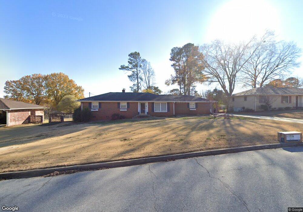
2005 Millgate Rd Anderson, SC 29621
Estimated Value: $244,000 - $268,000
Studio
--
Bath
1,533
Sq Ft
$166/Sq Ft
Est. Value
About This Home
This home is located at 2005 Millgate Rd, Anderson, SC 29621 and is currently estimated at $253,954, approximately $165 per square foot. 2005 Millgate Rd is a home located in Anderson County with nearby schools including Concord Elementary School, McCants Middle School, and T.L. Hanna High School.
Ownership History
Date
Name
Owned For
Owner Type
Purchase Details
Closed on
Oct 12, 2023
Sold by
Anthony Robert Frederick
Bought by
Everett Samantha
Current Estimated Value
Home Financials for this Owner
Home Financials are based on the most recent Mortgage that was taken out on this home.
Original Mortgage
$184,000
Outstanding Balance
$180,423
Interest Rate
7.18%
Mortgage Type
New Conventional
Estimated Equity
$73,531
Purchase Details
Closed on
Nov 18, 2020
Sold by
Anthony Robert Frederick and Estate Of Frederick Harold Ant
Bought by
Anthony Robert Frederick and Strickland Elizabeth J
Create a Home Valuation Report for This Property
The Home Valuation Report is an in-depth analysis detailing your home's value as well as a comparison with similar homes in the area
Home Values in the Area
Average Home Value in this Area
Purchase History
| Date | Buyer | Sale Price | Title Company |
|---|---|---|---|
| Everett Samantha | $230,000 | South Carolina Title | |
| Anthony Robert Frederick | -- | None Available |
Source: Public Records
Mortgage History
| Date | Status | Borrower | Loan Amount |
|---|---|---|---|
| Open | Everett Samantha | $184,000 |
Source: Public Records
Tax History
| Year | Tax Paid | Tax Assessment Tax Assessment Total Assessment is a certain percentage of the fair market value that is determined by local assessors to be the total taxable value of land and additions on the property. | Land | Improvement |
|---|---|---|---|---|
| 2024 | $2,021 | $9,200 | $1,380 | $7,820 |
| 2023 | $2,031 | $4,790 | $1,080 | $3,710 |
| 2022 | $2,932 | $7,200 | $1,630 | $5,570 |
| 2021 | $2,750 | $6,200 | $1,200 | $5,000 |
| 2020 | $508 | $4,130 | $800 | $3,330 |
| 2019 | $508 | $4,130 | $800 | $3,330 |
| 2018 | $513 | $4,130 | $800 | $3,330 |
| 2017 | -- | $4,130 | $800 | $3,330 |
| 2016 | $517 | $4,280 | $800 | $3,480 |
| 2015 | $524 | $4,280 | $800 | $3,480 |
| 2014 | $524 | $4,280 | $800 | $3,480 |
Source: Public Records
Map
Nearby Homes
- 2305 Millgate Rd
- 537 Drayton Cir
- 1201 Stonehurst Dr
- 2811 Leconte Rd
- 2506 Poplar Ln
- 504 Tilman Ct
- 2301 Bellview Rd
- 108 Clinton Dr
- 2010 Boulevard Heights
- 2506 Millgate Rd
- 516 E Fredericks St
- 412 Crestcreek Dr
- 409 Crestcreek Dr
- 2502 Whitehall Ave
- 405 Crestcreek Dr
- Lot 1-B E Greenville St
- 304 Avenue of Oaks
- 222 Terrace Dr
- 401 Berkshire Hill
- 316 Avenue of Oaks
- 2007 Millgate Rd
- 2003 Millgate Rd
- 2803 Colonial Dr
- 2805 Colonial Dr
- 2801 Colonial Dr
- 2009 Millgate Rd
- 2001 Millgate Rd
- 2006 Millgate Rd
- 2807 Colonial Dr
- 2500 Greenfield Dr
- 2002 Millgate Rd
- 2008 Millgate Rd
- 2501 Old Stone Dr
- 2000 Millgate Rd
- 2010 Millgate Rd
- 2804 Colonial Dr
- 2802 Colonial Dr
- 2806 Colonial Dr
- 2800 Colonial Dr
- 1202 Hanover Rd
Your Personal Tour Guide
Ask me questions while you tour the home.