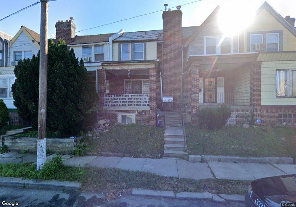
2005 N 61st St Philadelphia, PA 19151
Overbrook NeighborhoodEstimated Value: $162,000 - $201,000
3
Beds
1
Bath
1,242
Sq Ft
$147/Sq Ft
Est. Value
About This Home
This home is located at 2005 N 61st St, Philadelphia, PA 19151 and is currently estimated at $182,958, approximately $147 per square foot. 2005 N 61st St is a home located in Philadelphia County with nearby schools including Overbrook Elementary School, Overbrook High School, and Ad Prima Charter School.
Ownership History
Date
Name
Owned For
Owner Type
Purchase Details
Closed on
Mar 21, 2025
Sold by
Feed The Needy Association
Bought by
Bey Mustafaa Amar
Current Estimated Value
Purchase Details
Closed on
May 6, 2019
Sold by
Wood Pamela and Wright D
Bought by
Feed The Needy Association
Purchase Details
Closed on
Jul 3, 2018
Sold by
Hill Georgia
Bought by
Dots Carter Llc
Purchase Details
Closed on
Jan 5, 2007
Sold by
Bey Beverly
Bought by
Wood Pamela and Wright Dwight
Create a Home Valuation Report for This Property
The Home Valuation Report is an in-depth analysis detailing your home's value as well as a comparison with similar homes in the area
Home Values in the Area
Average Home Value in this Area
Purchase History
| Date | Buyer | Sale Price | Title Company |
|---|---|---|---|
| Bey Mustafaa Amar | $20,000 | None Listed On Document | |
| Feed The Needy Association | $5,000 | None Available | |
| Dots Carter Llc | $7,000 | None Available | |
| Wood Pamela | -- | None Available |
Source: Public Records
Tax History Compared to Growth
Tax History
| Year | Tax Paid | Tax Assessment Tax Assessment Total Assessment is a certain percentage of the fair market value that is determined by local assessors to be the total taxable value of land and additions on the property. | Land | Improvement |
|---|---|---|---|---|
| 2025 | $2,034 | $167,000 | $33,400 | $133,600 |
| 2024 | $2,034 | $167,000 | $33,400 | $133,600 |
| 2023 | $2,034 | $145,300 | $29,060 | $116,240 |
| 2022 | $1,485 | $145,300 | $29,060 | $116,240 |
| 2021 | $1,485 | $0 | $0 | $0 |
| 2020 | $1,485 | $0 | $0 | $0 |
| 2019 | $1,431 | $0 | $0 | $0 |
| 2018 | $971 | $0 | $0 | $0 |
| 2017 | $1,391 | $0 | $0 | $0 |
| 2016 | $971 | $0 | $0 | $0 |
| 2015 | $930 | $0 | $0 | $0 |
| 2014 | -- | $99,400 | $7,407 | $91,993 |
| 2012 | -- | $9,376 | $1,978 | $7,398 |
Source: Public Records
Map
Nearby Homes
- 6021 Clifford Terrace
- 6127 Lebanon Ave
- 6158 Lebanon Ave
- 2025 N 62nd St
- 6146 W Columbia Ave
- 5919 Upland Way
- 6136 W Oxford St
- 5667 Lebanon Ave
- 5665 Lebanon Ave
- 6029 W Jefferson St
- 1122 26 N 63rd St
- 5951 W Jefferson St
- 6133 W Jefferson St
- 6137 W Jefferson St
- 2100 N Hobart St
- 2217 N 59th St
- 1994 Upland Way
- 5933 Woodcrest Ave
- 1746 N 62nd St
- 2133 N Hobart St
- 2007 N 61st St
- 2003 N 61st St
- 2009 N 61st St
- 2011 N 61st St
- 2001 N 61st St
- 2013 N 61st St
- 6026 Lancaster Ave
- 616X Lebanon Ave
- 1957 N 61st St
- 1955 N 61st St
- 1959 N 61st St
- 1953 N 61st St
- 1951 N 61st St
- 1949 N 61st St
- 6027 Hazelhurst St
- 6023 Hazelhurst St
- 6025 Hazelhurst St
- 1947 N 61st St
- 6021 Hazelhurst St
- 6019 Hazelhurst St