2005 N Berthaud Rd New Haven, IN 46774
Estimated Value: $293,000 - $346,000
4
Beds
2
Baths
1,692
Sq Ft
$187/Sq Ft
Est. Value
About This Home
This home is located at 2005 N Berthaud Rd, New Haven, IN 46774 and is currently estimated at $316,593, approximately $187 per square foot. 2005 N Berthaud Rd is a home located in Allen County with nearby schools including Woodlan Junior/Senior High School and St Louis Academy.
Ownership History
Date
Name
Owned For
Owner Type
Purchase Details
Closed on
Sep 16, 2005
Sold by
Shepard Robert James and Shepard Helen Diane
Bought by
Phillips Nick F and Phillips Rachel
Current Estimated Value
Home Financials for this Owner
Home Financials are based on the most recent Mortgage that was taken out on this home.
Original Mortgage
$158,000
Interest Rate
6.01%
Mortgage Type
Fannie Mae Freddie Mac
Create a Home Valuation Report for This Property
The Home Valuation Report is an in-depth analysis detailing your home's value as well as a comparison with similar homes in the area
Home Values in the Area
Average Home Value in this Area
Purchase History
| Date | Buyer | Sale Price | Title Company |
|---|---|---|---|
| Phillips Nick F | -- | Commonwealth-Dreibelbiss Tit |
Source: Public Records
Mortgage History
| Date | Status | Borrower | Loan Amount |
|---|---|---|---|
| Open | Phillips Nick F | $158,000 |
Source: Public Records
Tax History Compared to Growth
Tax History
| Year | Tax Paid | Tax Assessment Tax Assessment Total Assessment is a certain percentage of the fair market value that is determined by local assessors to be the total taxable value of land and additions on the property. | Land | Improvement |
|---|---|---|---|---|
| 2024 | $2,047 | $250,500 | $46,800 | $203,700 |
| 2022 | $1,759 | $222,300 | $43,300 | $179,000 |
| 2021 | $1,738 | $200,400 | $43,300 | $157,100 |
| 2020 | $1,338 | $189,500 | $43,300 | $146,200 |
| 2019 | $1,299 | $180,800 | $43,300 | $137,500 |
| 2018 | $1,281 | $172,200 | $43,300 | $128,900 |
| 2017 | $1,151 | $154,000 | $43,300 | $110,700 |
| 2016 | $1,151 | $153,800 | $43,300 | $110,500 |
| 2014 | $972 | $136,300 | $43,300 | $93,000 |
| 2013 | $1,129 | $153,100 | $43,300 | $109,800 |
Source: Public Records
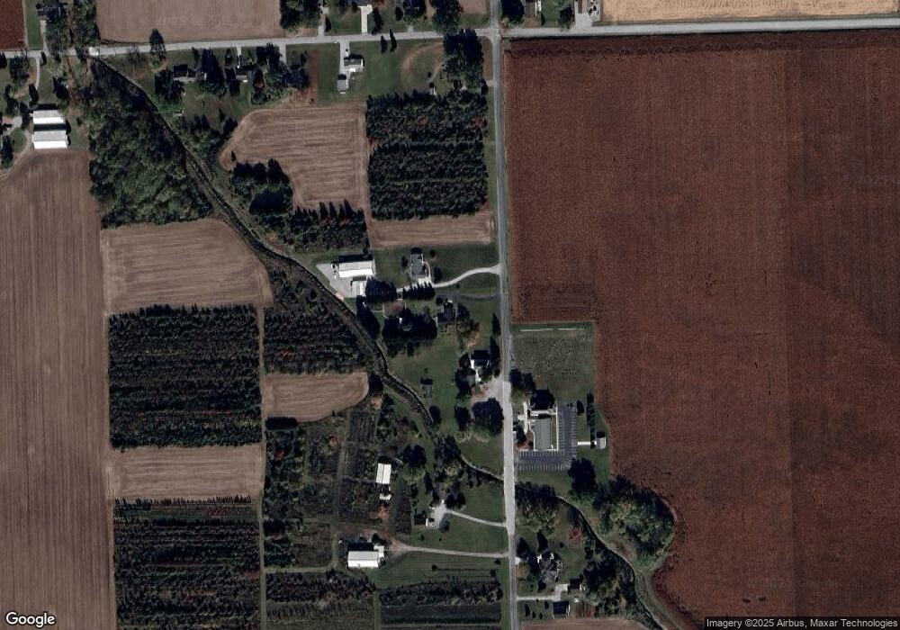
Map
Nearby Homes
- TBD Webster Rd
- 10310 E Seiler Rd & Green Rd Rd
- 4222 Hickory Ridge Dr
- 16322 Venison Trail
- 14530 Dawkins Rd
- 4521 Schwartz Rd
- 1728 N Tyland Blvd
- 4842 Schwartz Rd
- 9532 Bonham Ln
- 1201 Canal St
- Aldridge Plan at Riverwalk
- Elder Plan at Riverwalk
- Elm Plan at Riverwalk
- Freeport Plan at Riverwalk
- Taylor Plan at Riverwalk
- Stamford Plan at Riverwalk
- Harmony Plan at Riverwalk
- Bellamy Plan at Riverwalk
- Chatham Plan at Riverwalk
- Chatham Plan at Riverwalk - Villas
- 1927 N Berthaud Rd
- 2023 N Berthaud Rd
- 2181 N Berthaud Rd
- 1807 N Berthaud Rd
- 2233 N Berthaud Rd
- 15128 Bremer Rd
- 1730 N Berthaud Rd
- 15104 Bremer Rd
- 15028 Bremer Rd
- 2310 N Berthaud Rd
- 14934 Bremer Rd
- 15215 Bremer Rd
- 15129 Bremer Rd
- 15109 Bremer Rd
- 2330 N Berthaud Rd
- 14828 Bremer Rd
- 2410 N Berthaud Rd
- 2424 N Berthaud Rd
- 14829 Bremer Rd
- 1509 N Berthaud Rd