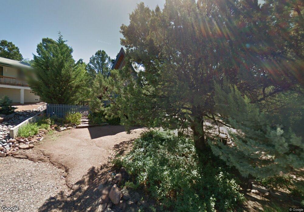
2005 N Rogers Cir Payson, AZ 85541
Estimated Value: $266,165 - $326,000
Studio
--
Bath
2,560
Sq Ft
$120/Sq Ft
Est. Value
About This Home
This home is located at 2005 N Rogers Cir, Payson, AZ 85541 and is currently estimated at $307,541, approximately $120 per square foot. 2005 N Rogers Cir is a home located in Gila County with nearby schools including Julia Randall Elementary School, Payson Elementary School, and Rim Country Middle School.
Ownership History
Date
Name
Owned For
Owner Type
Purchase Details
Closed on
Oct 14, 2020
Sold by
Lyman Spencer E and The Spencer E Lyman Family Tru
Bought by
Bloomfield Raymond K
Current Estimated Value
Home Financials for this Owner
Home Financials are based on the most recent Mortgage that was taken out on this home.
Original Mortgage
$155,700
Outstanding Balance
$136,912
Interest Rate
2.9%
Mortgage Type
New Conventional
Estimated Equity
$170,629
Purchase Details
Closed on
Oct 9, 2020
Sold by
Spencer E Lyman Family Trust U/A and Lyman Spencer E
Bought by
Bloomfield Raymond K
Home Financials for this Owner
Home Financials are based on the most recent Mortgage that was taken out on this home.
Original Mortgage
$155,700
Outstanding Balance
$136,912
Interest Rate
2.9%
Mortgage Type
New Conventional
Estimated Equity
$170,629
Purchase Details
Closed on
Jan 20, 2009
Sold by
Lyman Spencer E
Bought by
Lyman Spencer E and The Spencer E Lyman Family Trust
Create a Home Valuation Report for This Property
The Home Valuation Report is an in-depth analysis detailing your home's value as well as a comparison with similar homes in the area
Purchase History
| Date | Buyer | Sale Price | Title Company |
|---|---|---|---|
| Bloomfield Raymond K | $173,000 | Pioneer Title Agency Inc | |
| Bloomfield Raymond K | -- | Pioneer Title | |
| Lyman Spencer E | -- | None Available |
Source: Public Records
Mortgage History
| Date | Status | Borrower | Loan Amount |
|---|---|---|---|
| Open | Bloomfield Raymond K | $155,700 | |
| Closed | Bloomfield Raymond K | $155,700 |
Source: Public Records
Tax History
| Year | Tax Paid | Tax Assessment Tax Assessment Total Assessment is a certain percentage of the fair market value that is determined by local assessors to be the total taxable value of land and additions on the property. | Land | Improvement |
|---|---|---|---|---|
| 2026 | $1,265 | $24,112 | $5,834 | $18,278 |
| 2025 | $1,265 | -- | -- | -- |
| 2024 | $1,181 | $21,992 | $3,513 | $18,479 |
| 2023 | $1,181 | $19,072 | $3,320 | $15,752 |
| 2022 | $1,144 | $12,150 | $3,320 | $8,830 |
| 2021 | $1,074 | $12,151 | $3,320 | $8,831 |
| 2020 | $1,032 | $0 | $0 | $0 |
| 2019 | $1,002 | $0 | $0 | $0 |
| 2018 | $943 | $0 | $0 | $0 |
| 2017 | $879 | $0 | $0 | $0 |
| 2016 | $861 | $0 | $0 | $0 |
| 2015 | $783 | $0 | $0 | $0 |
Source: Public Records
Map
Nearby Homes
- 703 W Colt Cir
- 609 W Barnum Cir
- 1008 W Saddle Ln
- 1009 W Bridle Path Ln
- 2110 N Cold Springs Point
- 401 W Houston Mesa Rd
- 1033 W Bridle Path Ln
- 303 W Cody Cir
- 312 W Roundup Rd
- 0 Arizona 87 Unit 29
- 1501 N Beeline Hwy Unit 71
- 1501 N Beeline Hwy Unit 11
- 1501 N Beeline Hwy Unit 17
- 1501 N Beeline Hwy Unit 39
- 1501 N Beeline Hwy Unit 66
- 1501 N Beeline Hwy Unit 28
- 1501 N Beeline Hwy Unit 60
- 1112 N Monte Rosa Ln
- 1101 N Falconcrest Dr Unit 14
- 1101 N Falconcrest Dr
- 2007 N Rogers Cir
- 2003 N Rogers Cir Unit 4
- 2004 N Murchison Cir
- 2006 N Murchison Cir Unit 4
- 2006 N Rogers Cir
- 810 W Colt Dr
- 2000 N Murchison Cir
- 2004 N Rogers Cir
- 2002 N Rogers Cir
- 2000 N Rogers Cir
- 2005 N Murchison Cir
- 2003 N Murchison Cir
- 2001 N Murchison Cir
- 2103 N Pratt Cir
- 2101 N Pratt Cir
- 809 W Colt Dr
- 811 W Colt Dr
- 807 W Colt Dr
- 2107 N Pratt Cir
- 813 W Colt Dr Unit 4
Your Personal Tour Guide
Ask me questions while you tour the home.