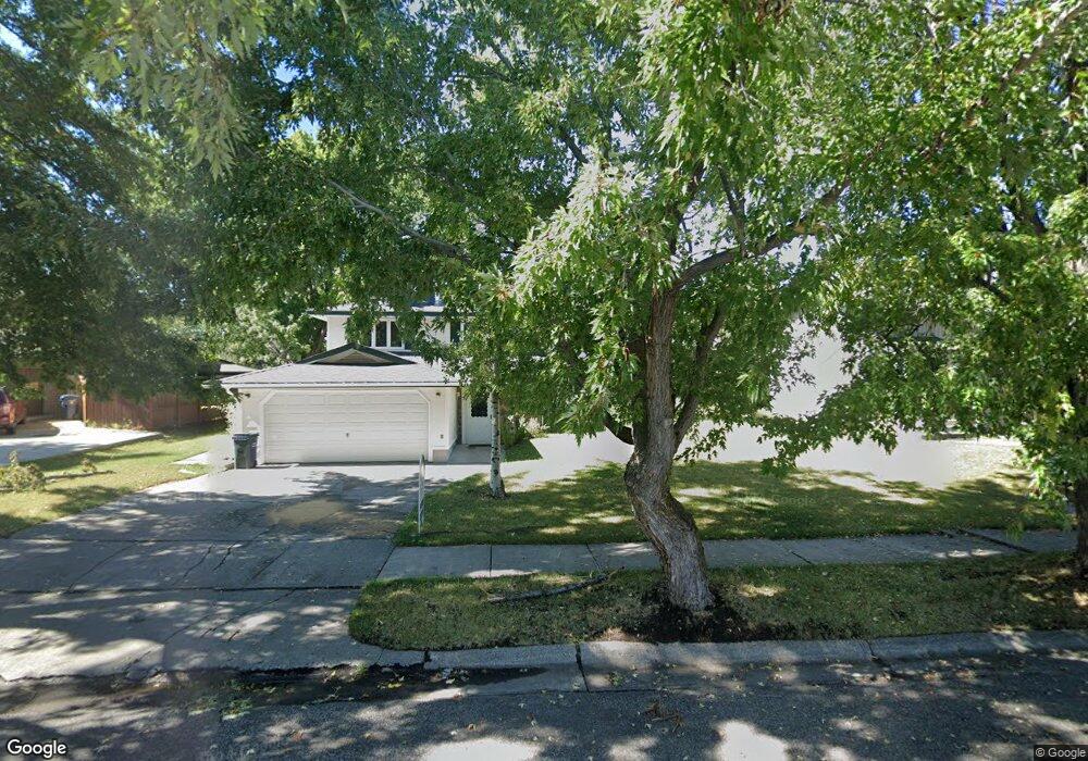
2005 S Rouse Ave Bozeman, MT 59715
Bozeman Creek NeighborhoodEstimated Value: $759,000 - $876,000
5
Beds
3
Baths
1,300
Sq Ft
$624/Sq Ft
Est. Value
About This Home
This home is located at 2005 S Rouse Ave, Bozeman, MT 59715 and is currently estimated at $811,289, approximately $624 per square foot. 2005 S Rouse Ave is a home located in Gallatin County with nearby schools including Longfellow School, Sacajawea Middle School, and Bozeman High School.
Ownership History
Date
Name
Owned For
Owner Type
Purchase Details
Closed on
Oct 18, 2024
Sold by
Mclarty Donald S and Mclarty Margarita
Bought by
Cullen Kerstin and Nissen Jayson
Current Estimated Value
Home Financials for this Owner
Home Financials are based on the most recent Mortgage that was taken out on this home.
Original Mortgage
$310,000
Outstanding Balance
$306,741
Interest Rate
6.35%
Mortgage Type
VA
Estimated Equity
$504,548
Create a Home Valuation Report for This Property
The Home Valuation Report is an in-depth analysis detailing your home's value as well as a comparison with similar homes in the area
Home Values in the Area
Average Home Value in this Area
Purchase History
| Date | Buyer | Sale Price | Title Company |
|---|---|---|---|
| Cullen Kerstin | -- | Security Title |
Source: Public Records
Mortgage History
| Date | Status | Borrower | Loan Amount |
|---|---|---|---|
| Open | Cullen Kerstin | $310,000 |
Source: Public Records
Tax History
| Year | Tax Paid | Tax Assessment Tax Assessment Total Assessment is a certain percentage of the fair market value that is determined by local assessors to be the total taxable value of land and additions on the property. | Land | Improvement |
|---|---|---|---|---|
| 2025 | $3,508 | $750,800 | $0 | $0 |
| 2024 | $4,577 | $687,600 | $0 | $0 |
| 2023 | $4,428 | $687,600 | $0 | $0 |
| 2022 | $4,023 | $524,700 | $0 | $0 |
| 2021 | $4,440 | $524,700 | $0 | $0 |
| 2020 | $3,778 | $442,200 | $0 | $0 |
| 2019 | $3,864 | $442,200 | $0 | $0 |
| 2018 | $3,280 | $347,800 | $0 | $0 |
| 2017 | $3,067 | $347,800 | $0 | $0 |
| 2016 | $2,920 | $309,400 | $0 | $0 |
| 2015 | $2,923 | $309,400 | $0 | $0 |
| 2014 | $2,478 | $154,336 | $0 | $0 |
Source: Public Records
Map
Nearby Homes
- 1914 Spring Creek Dr
- 1109 E Kagy Blvd
- 1508 S Tracy Ave
- 2516 Spring Creek Dr
- 1757 Highland Blvd Unit 14
- 1103 S Pinecrest Dr
- 1121 Cherry Dr
- 1302 S 3rd Ave
- 1008 S Willson Ave
- 405 Ice Pond Rd
- 517 Staudaher St
- 102 E College St Unit 1
- 407 Fieldstone Dr
- 903 Arnold St
- 915 Arnold St
- 3025 Macnab St
- 2600 S 11th Ave
- 723 S 5th Ave
- 619 W Harrison St
- 801 S 6th Ave
- 2003 S Rouse Ave
- 2003 S Rouse Ave Unit 1
- 2003 S Rouse Ave
- 2003 S Rouse Ave
- 2012 S Black Ave
- 2012 S Black Ave Unit A
- 2000 S Black Ave
- 2000-2002 S Black Ave Unit 2000-2002
- 2000 S Black Ave Unit 2000 S Black Avenue
- 1925 S Rouse Ave
- 2006 S Black Ave
- 2009 S Rouse Ave
- 2002 S Black Ave Unit 2002 S. Black Ave
- 2002 S Rouse Ave
- 1917 S Rouse Ave
- 1922 S Black Ave
- 1926 S Rouse Ave
- 1920 S Black Ave
- 1918 S Black Ave
- 1920 S Rouse Ave
Your Personal Tour Guide
Ask me questions while you tour the home.