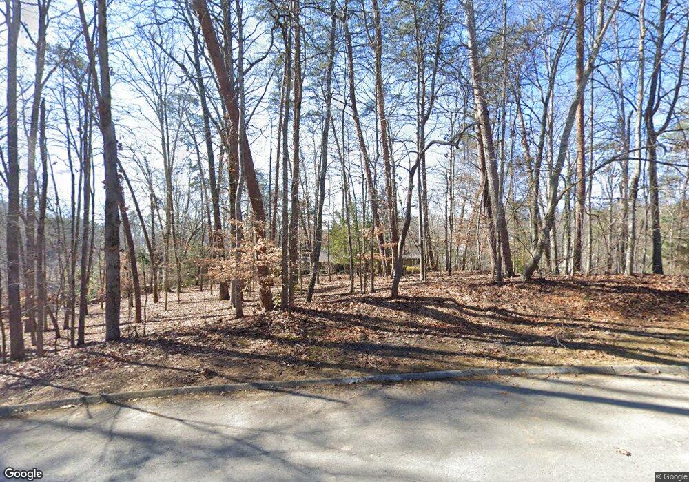
2005 Signal Point Rd Knoxville, TN 37922
Concord NeighborhoodEstimated Value: $813,000 - $1,260,000
5
Beds
5
Baths
5,300
Sq Ft
$212/Sq Ft
Est. Value
About This Home
This home is located at 2005 Signal Point Rd, Knoxville, TN 37922 and is currently estimated at $1,121,750, approximately $211 per square foot. 2005 Signal Point Rd is a home located in Knox County with nearby schools including Northshore Elementary School, Farragut Middle School, and Farragut High School.
Ownership History
Date
Name
Owned For
Owner Type
Purchase Details
Closed on
Apr 20, 2005
Sold by
Starkey Robert O
Bought by
Starkey Ann Miller
Current Estimated Value
Create a Home Valuation Report for This Property
The Home Valuation Report is an in-depth analysis detailing your home's value as well as a comparison with similar homes in the area
Home Values in the Area
Average Home Value in this Area
Purchase History
| Date | Buyer | Sale Price | Title Company |
|---|---|---|---|
| Starkey Ann Miller | -- | -- |
Source: Public Records
Tax History Compared to Growth
Tax History
| Year | Tax Paid | Tax Assessment Tax Assessment Total Assessment is a certain percentage of the fair market value that is determined by local assessors to be the total taxable value of land and additions on the property. | Land | Improvement |
|---|---|---|---|---|
| 2024 | $2,707 | $174,175 | $0 | $0 |
| 2023 | $2,707 | $174,175 | $0 | $0 |
| 2022 | $2,707 | $174,175 | $0 | $0 |
| 2021 | $2,943 | $138,825 | $0 | $0 |
| 2020 | $2,943 | $138,825 | $0 | $0 |
| 2019 | $2,943 | $138,825 | $0 | $0 |
| 2018 | $2,943 | $138,825 | $0 | $0 |
| 2017 | $2,943 | $138,825 | $0 | $0 |
| 2016 | $3,133 | $0 | $0 | $0 |
| 2015 | $3,133 | $0 | $0 | $0 |
| 2014 | $3,133 | $0 | $0 | $0 |
Source: Public Records
Map
Nearby Homes
- 1917 Ridge Oak Ln
- 2029 Duck Cove Dr
- 1534 N Wilkerson Rd
- 1310 N Wilkerson Rd
- 1758 N Wilkerson Rd
- 0 Early Rd Unit 3 1307350
- 0 Early Rd Unit 2 1307144
- 0 Early Rd Unit 4 1307529
- 2225 Henge Point Ln
- 1824 Glen Shady Blvd
- 2071 Wooded Mountain Ln
- 1823 Shadyside Ln
- 1826 Shadyside Ln
- 2209 Henge Point Ln
- 8440 Lakeland Dr
- 2044 Wooded Mountain Ln
- 471 Roseland Ln
- 121 Padstow Ln
- 12873 Magnolia Crest Ln
- 14374 Northshore Dr
- 2009 Signal Point Rd
- 2000 Duck Cove Dr
- 12708 Early Rd
- 12636 Red Fox Dr
- 12636 Red Fox Dr Unit 1
- 2001 Signal Point Rd
- 2013 Signal Point Rd
- 1948 Ridge Oak Ln
- 2004 Duck Cove Dr
- 2035 Hidden Cove Ln
- 12637 Red Fox Dr
- 1952 Ridge Oak Ln
- 2039 Hidden Cove Ln
- 2012 Duck Cove Dr
- 1942 Ridge Oak Ln
- 12632 Red Fox Dr
- 1936 Ridge Oak Ln
- 2031 Hidden Cove Ln
- 2014 Signal Point Rd
- 1930 Ridge Oak Ln
