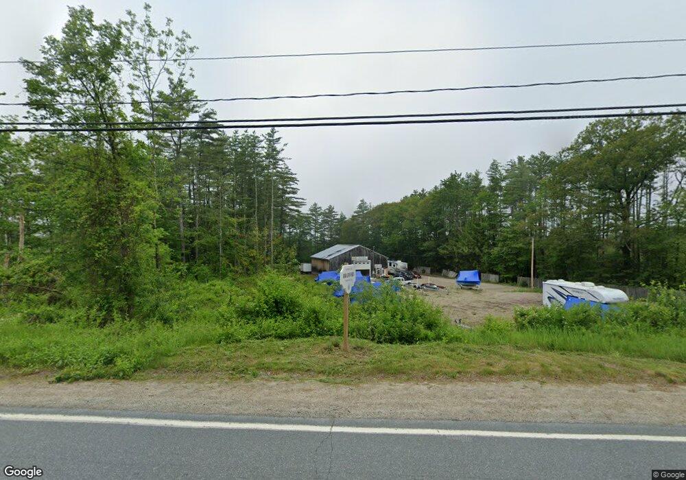
2005 State Route 114 Bradford, NH 03221
Estimated Value: $382,712
--
Bed
1
Bath
2,492
Sq Ft
$154/Sq Ft
Est. Value
About This Home
This home is located at 2005 State Route 114, Bradford, NH 03221 and is currently estimated at $382,712, approximately $153 per square foot. 2005 State Route 114 is a home located in Merrimack County with nearby schools including Kearsarge Regional Elementary School at Bradford, Kearsarge Regional Middle School, and Kearsarge Regional High School.
Ownership History
Date
Name
Owned For
Owner Type
Purchase Details
Closed on
Apr 24, 2019
Sold by
Griffin Kathleen L
Bought by
Hills Auto Truck & Marine
Current Estimated Value
Home Financials for this Owner
Home Financials are based on the most recent Mortgage that was taken out on this home.
Original Mortgage
$179,500
Outstanding Balance
$157,812
Interest Rate
4.3%
Estimated Equity
$224,900
Purchase Details
Closed on
Jul 26, 2017
Sold by
Wilcox Joseph L and Griffin Kathleen L
Bought by
Griffin Kathleen L
Create a Home Valuation Report for This Property
The Home Valuation Report is an in-depth analysis detailing your home's value as well as a comparison with similar homes in the area
Home Values in the Area
Average Home Value in this Area
Purchase History
| Date | Buyer | Sale Price | Title Company |
|---|---|---|---|
| Hills Auto Truck & Marine | $200,000 | -- | |
| Griffin Kathleen L | $110,000 | -- |
Source: Public Records
Mortgage History
| Date | Status | Borrower | Loan Amount |
|---|---|---|---|
| Open | Hills Auto Truck & Marine | $179,500 |
Source: Public Records
Tax History Compared to Growth
Tax History
| Year | Tax Paid | Tax Assessment Tax Assessment Total Assessment is a certain percentage of the fair market value that is determined by local assessors to be the total taxable value of land and additions on the property. | Land | Improvement |
|---|---|---|---|---|
| 2024 | $4,340 | $275,900 | $161,400 | $114,500 |
| 2023 | $5,482 | $197,200 | $81,400 | $115,800 |
| 2022 | $4,869 | $197,200 | $81,400 | $115,800 |
| 2021 | $4,715 | $197,200 | $81,400 | $115,800 |
| 2020 | $21,198 | $197,200 | $81,400 | $115,800 |
| 2019 | $20,294 | $119,900 | $57,700 | $62,200 |
| 2018 | $3,231 | $119,900 | $57,700 | $62,200 |
| 2017 | $3,165 | $119,900 | $57,700 | $62,200 |
| 2016 | $2 | $119,900 | $57,700 | $62,200 |
| 2015 | $3,233 | $119,900 | $57,700 | $62,200 |
| 2014 | $3,188 | $137,000 | $86,200 | $50,800 |
| 2013 | $3,072 | $137,000 | $86,200 | $50,800 |
Source: Public Records
Map
Nearby Homes
- 5 Greenhouse Ln
- 55 Water St
- 0 Bagley Hill Rd
- 108 Circle View Dr
- 17 Jolly Farm Rd
- 71 Melvin Rd
- 000 Route 114 Unit 168
- 2024 Route 114
- 2400 Route 114
- 44 Pleasant View Rd
- 45 Crittenden Rd
- 00 Fairgrounds Rd Unit 5
- 257 Jackson Rd
- 200 South Rd
- 10 Dodge Hill Rd
- 14 Meetinghouse Hill Rd
- 64 Rowe Mountain Rd
- 6 Chapin Way Unit 6
- 12 Chapin Way Unit Lot 12
- 00 Newbury Rd Unit 764-534
- 2005 New Hampshire 114
- 2017 State Route 114
- 31 Old Sutton Rd
- 2008 State Route 114
- 9 Route 114
- 10 Route 114
- 10 New Hampshire 114
- 2031 State Route 114
- 15 Route 114
- 2037 State Route 114
- 38 Old Sutton Rd
- 2043 State Route 114
- 130 Old Sutton Rd
- 2045 State Route 114
- 630 Route 114
- 97 Old Sutton Rd
- 516 Route 114
- 516 Route 114
- 2045 New Hampshire 114
- 458 Route 114