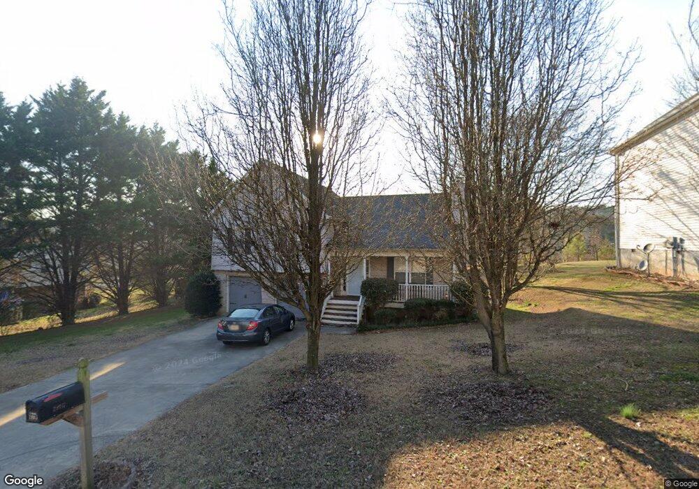
2005 Wesley Ct Dalton, GA 30721
Estimated Value: $238,620 - $263,000
Studio
2
Baths
1,406
Sq Ft
$180/Sq Ft
Est. Value
About This Home
This home is located at 2005 Wesley Ct, Dalton, GA 30721 and is currently estimated at $253,155, approximately $180 per square foot. 2005 Wesley Ct is a home located in Whitfield County with nearby schools including Pleasant Grove Elementary School, New Hope Middle School, and Northwest Whitfield County High School.
Ownership History
Date
Name
Owned For
Owner Type
Purchase Details
Closed on
Aug 29, 2024
Sold by
Serrato Ivan
Bought by
Serrato Xochitl
Current Estimated Value
Purchase Details
Closed on
Feb 21, 2003
Sold by
Creative Home Solutions Llc
Bought by
Serrato Ivan and Serrato Xochitia
Purchase Details
Closed on
Aug 22, 2002
Sold by
Blochinger Neal
Bought by
Creative Home Solutions Llc
Purchase Details
Closed on
Jan 31, 2000
Sold by
Mcbrayer W Earl Etal
Bought by
Blochinger Neal
Create a Home Valuation Report for This Property
The Home Valuation Report is an in-depth analysis detailing your home's value as well as a comparison with similar homes in the area
Purchase History
| Date | Buyer | Sale Price | Title Company |
|---|---|---|---|
| Serrato Xochitl | -- | None Listed On Document | |
| Serrato Ivan | $129,000 | -- | |
| Creative Home Solutions Llc | $84,000 | -- | |
| Blochinger Neal | $297,400 | -- |
Source: Public Records
Tax History
| Year | Tax Paid | Tax Assessment Tax Assessment Total Assessment is a certain percentage of the fair market value that is determined by local assessors to be the total taxable value of land and additions on the property. | Land | Improvement |
|---|---|---|---|---|
| 2025 | $1,853 | $89,502 | $14,000 | $75,502 |
| 2024 | $1,853 | $89,502 | $14,000 | $75,502 |
| 2023 | $1,757 | $65,736 | $14,000 | $51,736 |
| 2022 | $1,318 | $53,239 | $9,600 | $43,639 |
| 2021 | $1,318 | $53,239 | $9,600 | $43,639 |
| 2020 | $1,352 | $53,239 | $9,600 | $43,639 |
| 2019 | $1,368 | $53,239 | $9,600 | $43,639 |
| 2018 | $1,385 | $53,239 | $9,600 | $43,639 |
| 2017 | $1,385 | $53,239 | $9,600 | $43,639 |
| 2016 | $1,170 | $47,460 | $7,770 | $39,690 |
| 2014 | $936 | $42,168 | $7,770 | $34,398 |
| 2013 | -- | $42,168 | $7,770 | $34,398 |
Source: Public Records
Map
Nearby Homes
- 503 Moore Dr
- 629 Mahogany Ln NW
- 107 Driftwood Ln
- 0 Battle Way
- 101 Forrest Park Rd
- 522 Westbrook Rd
- 1903 Summit View Dr Unit 188
- 1903 Middle Summit Dr
- 2256 Waring Rd NW
- 1899 N Summit Dr Unit 66
- 122 Andros Dr
- 2502 E Hillview Dr
- 1711 Willow Oak Ln
- 1711 Willow Oak Ln Unit 55
- 1709 Willow Oak Ln Unit 53
- 1706 Chestnut Oak Dr Unit 91
- 1702 Chestnut Oak Dr Unit 81
- 1015 S Ridge Dr
- 0 West R W Ridge Dr
- 1628 Waring Rd
- 2009 Wesley Ct
- 101 Grassdale Rd
- 2013 Wesley Ct
- 2006 Wesley Ct
- 2010 Wesley Ct
- 201 Grassdale Rd
- 2017 Wesley Ct
- 2014 Wesley Ct
- 2018 Wesley Ct
- 2025 Freeport Rd NW
- 200 Grassdale Rd
- 205 Grassdale Rd
- 502 Grassdale Rd
- 2021 Freeport Rd NW
- 4006 Sydney Cir
- 204 Grassdale Rd
- 209 Grassdale Rd
- 4005 Sydney Cir
- 4008 Sydney Cir
- 208 Grassdale Rd
Your Personal Tour Guide
Ask me questions while you tour the home.