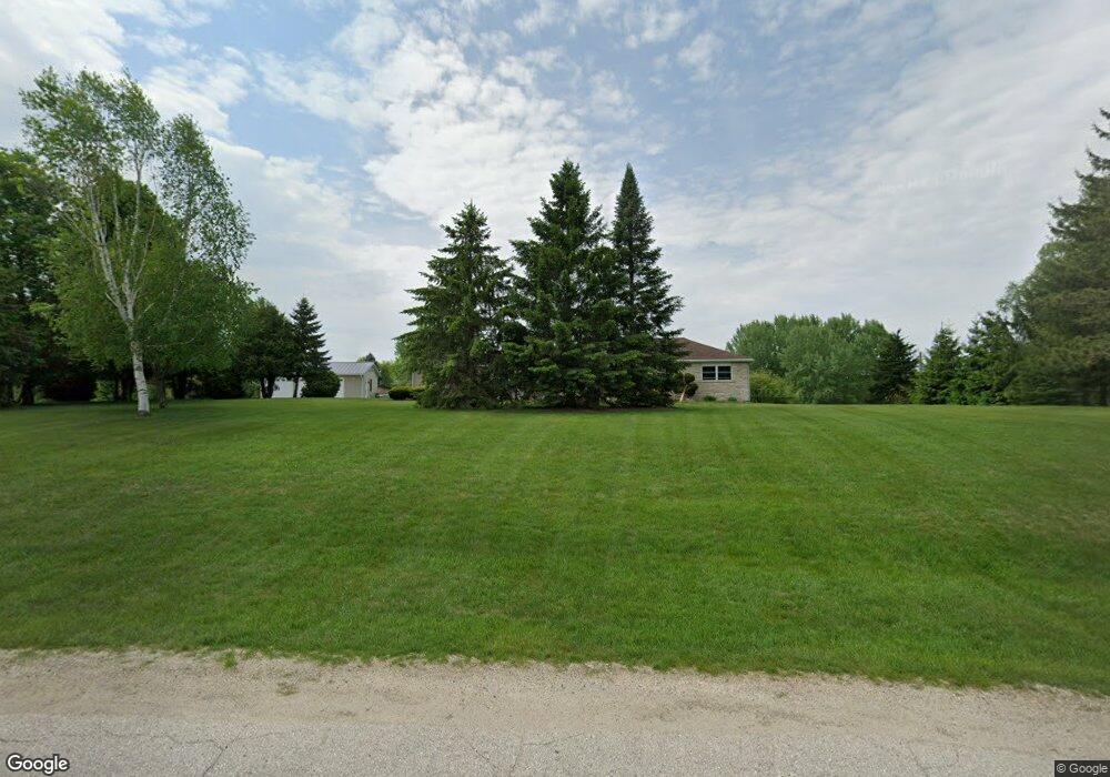
2005 Whitewood Dr Kewaskum, WI 53040
Estimated Value: $342,000 - $516,000
--
Bed
--
Bath
--
Sq Ft
1.71
Acres
About This Home
This home is located at 2005 Whitewood Dr, Kewaskum, WI 53040 and is currently estimated at $422,779. 2005 Whitewood Dr is a home located in Washington County with nearby schools including Kewaskum High School.
Ownership History
Date
Name
Owned For
Owner Type
Purchase Details
Closed on
Apr 29, 2005
Sold by
Baumann Thomas C and Baumann Anna Maria T
Bought by
Frank Russell L and Frank Jennifer J
Current Estimated Value
Home Financials for this Owner
Home Financials are based on the most recent Mortgage that was taken out on this home.
Original Mortgage
$26,250
Outstanding Balance
$20,037
Interest Rate
6.13%
Mortgage Type
Future Advance Clause Open End Mortgage
Estimated Equity
$402,742
Create a Home Valuation Report for This Property
The Home Valuation Report is an in-depth analysis detailing your home's value as well as a comparison with similar homes in the area
Home Values in the Area
Average Home Value in this Area
Purchase History
| Date | Buyer | Sale Price | Title Company |
|---|---|---|---|
| Frank Russell L | $175,000 | None Available |
Source: Public Records
Mortgage History
| Date | Status | Borrower | Loan Amount |
|---|---|---|---|
| Open | Frank Russell L | $26,250 | |
| Open | Frank Russell L | $140,000 |
Source: Public Records
Tax History Compared to Growth
Tax History
| Year | Tax Paid | Tax Assessment Tax Assessment Total Assessment is a certain percentage of the fair market value that is determined by local assessors to be the total taxable value of land and additions on the property. | Land | Improvement |
|---|---|---|---|---|
| 2024 | $2,823 | $243,700 | $59,200 | $184,500 |
| 2023 | $2,806 | $243,700 | $59,200 | $184,500 |
| 2022 | $2,403 | $225,600 | $59,200 | $166,400 |
| 2021 | $2,523 | $225,600 | $59,200 | $166,400 |
| 2020 | $2,569 | $225,600 | $59,200 | $166,400 |
| 2019 | $2,475 | $225,600 | $59,200 | $166,400 |
| 2018 | $2,390 | $225,600 | $59,200 | $166,400 |
| 2017 | $2,440 | $225,600 | $59,200 | $166,400 |
| 2016 | $2,370 | $225,600 | $59,200 | $166,400 |
| 2015 | -- | $225,600 | $59,200 | $166,400 |
| 2014 | -- | $225,600 | $59,200 | $166,400 |
| 2013 | $2,822 | $225,600 | $59,200 | $166,400 |
Source: Public Records
Map
Nearby Homes
- 8451 Wesley Ct
- 8623 Eagle Ridge Dr
- 7855 Indian Lore Rd
- 8605 N Salisbury Rd
- 9092 N Paradise Rd
- 2741 Shagbark Dr
- 2804 Shagbark Dr
- Lt12 Maple Tree Rd
- 9080 Hickory Dr
- Lt0 Lakeview Rd
- 3057 Smith Lake Rd
- 1324 W Green Lake Dr
- 1266 E Green Lake Dr
- 2161 Wallace Lake Rd
- 7071 N Trenton Rd
- 2181 Wallace Lake Rd
- Lt4 Wallace Lake Rd
- 9561 Maple Tree Rd
- 7184 Pleasant Dr
- 2896 E Moraine Dr
- 2023 Whitewood Dr
- 8386 Hilltop Ln
- 8385 Hilltop Ln
- 1995 Whitewood Dr
- 2039 Whitewood Dr
- 8327 Hilltop Ln
- 1982 Whitewood Dr
- 8326 Hilltop Ln
- 8393 Hilltop Ln
- 8394 Hilltop Ln
- 8319 Hilltop Ln
- 8318 Hilltop Ln
- 8311 Hilltop Ln
- 8310 Hilltop Ln
- 1963 Trails End Ln
- 8401 Hilltop Ln
- 8404 Hilltop Ln
- 8358 Lonely Ln
- 8416 Hilltop Ln
- 8409 Hilltop Ln