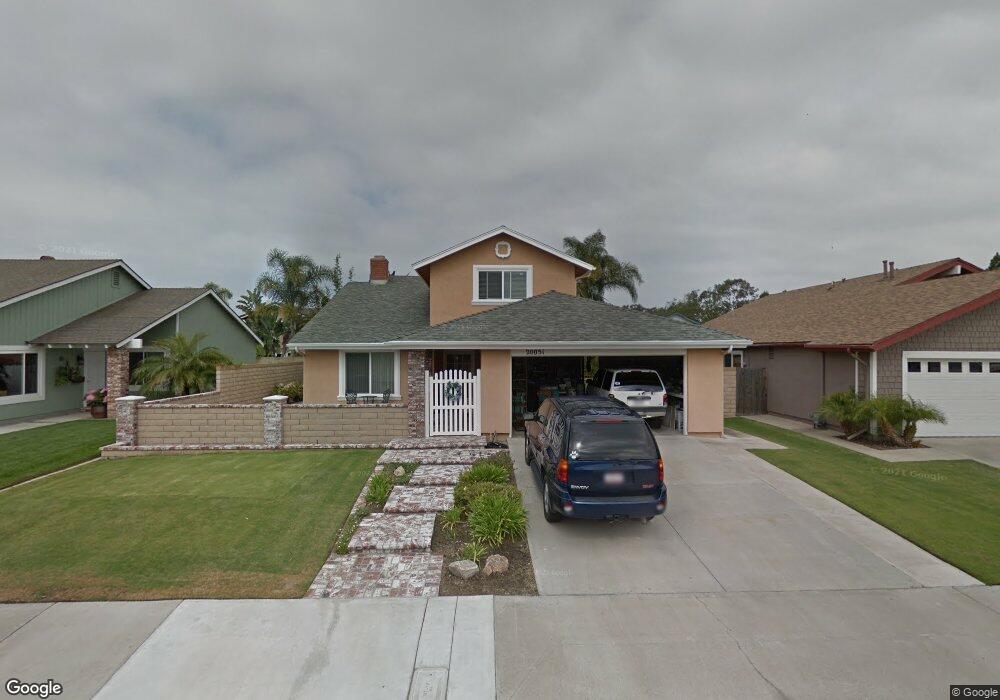
20051 Port Greenwich Ln Huntington Beach, CA 92646
Southeast NeighborhoodEstimated Value: $1,449,085 - $1,624,000
4
Beds
3
Baths
1,710
Sq Ft
$911/Sq Ft
Est. Value
About This Home
This home is located at 20051 Port Greenwich Ln, Huntington Beach, CA 92646 and is currently estimated at $1,557,271, approximately $910 per square foot. 20051 Port Greenwich Ln is a home located in Orange County with nearby schools including S.A. Moffett Elementary School, Isaac L. Sowers Middle School, and Edison High School.
Ownership History
Date
Name
Owned For
Owner Type
Purchase Details
Closed on
Feb 4, 2021
Sold by
Heslop Ray D and Heslop Carole S
Bought by
Brady Michelle Rae Heslop and Brady Ray D
Current Estimated Value
Purchase Details
Closed on
Aug 11, 2016
Sold by
Heslop Ray D and Heslop Carole S
Bought by
Heslop Ray D and Heslop Carole S
Create a Home Valuation Report for This Property
The Home Valuation Report is an in-depth analysis detailing your home's value as well as a comparison with similar homes in the area
Home Values in the Area
Average Home Value in this Area
Purchase History
| Date | Buyer | Sale Price | Title Company |
|---|---|---|---|
| Brady Michelle Rae Heslop | -- | Accommodation | |
| Heslop Ray D | -- | Accommodation | |
| Heslop Ray D | -- | None Available |
Source: Public Records
Tax History Compared to Growth
Tax History
| Year | Tax Paid | Tax Assessment Tax Assessment Total Assessment is a certain percentage of the fair market value that is determined by local assessors to be the total taxable value of land and additions on the property. | Land | Improvement |
|---|---|---|---|---|
| 2025 | $2,689 | $219,685 | $126,565 | $93,120 |
| 2024 | $2,689 | $215,378 | $124,083 | $91,295 |
| 2023 | $2,625 | $211,155 | $121,650 | $89,505 |
| 2022 | $2,553 | $207,015 | $119,265 | $87,750 |
| 2021 | $2,506 | $202,956 | $116,926 | $86,030 |
| 2020 | $2,488 | $200,875 | $115,727 | $85,148 |
| 2019 | $2,460 | $196,937 | $113,458 | $83,479 |
| 2018 | $2,422 | $193,076 | $111,233 | $81,843 |
| 2017 | $2,388 | $189,291 | $109,052 | $80,239 |
| 2016 | $2,289 | $185,580 | $106,914 | $78,666 |
| 2015 | $2,264 | $182,793 | $105,308 | $77,485 |
| 2014 | $2,216 | $179,213 | $103,245 | $75,968 |
Source: Public Records
Map
Nearby Homes
- 20162 S New Britain Ln
- 20251 Lighthouse Ln
- 8182 Mainsail Dr Unit 203
- 8401 Dallas Cir
- 20012 Treasure Cir
- 20131 Crown Reef Ln
- 20251 Cape Coral Ln Unit 315
- 20301 Bluffside Cir Unit D401
- 20301 Bluffside Cir Unit D312
- 20371 Bluffside Cir Unit B214
- 20331 Bluffside Cir Unit A108
- 20331 Bluffside Cir Unit 303
- 20331 Bluffside Cir Unit 222
- 20331 Bluffside Cir Unit A320
- 20331 Bluffside Cir Unit 417
- 20401 Somerville Ln
- 20341 Bluffside Cir Unit C301
- 8582 Salt Lake Dr
- 8565 Colusa Cir Unit 906C
- 1015 Georgia St
- 20061 Port Greenwich Ln
- 20041 Port Greenwich Ln
- 20052 Cape Cottage Ln
- 20062 Cape Cottage Ln
- 20042 Cape Cottage Ln
- 20071 Port Greenwich Ln
- 8382 Northport Dr
- 8381 Boothbay Cir
- 20072 Cape Cottage Ln
- 20081 Port Greenwich Ln
- 8402 Northport Dr
- 8361 Northport Dr
- 8401 Boothbay Cir
- 8371 Northport Dr
- 20082 Cape Cottage Ln
- 8341 Northport Dr
- 20091 Port Greenwich Ln
- 8331 Northport Dr
- 8382 Boothbay Cir
- 8412 Northport Dr