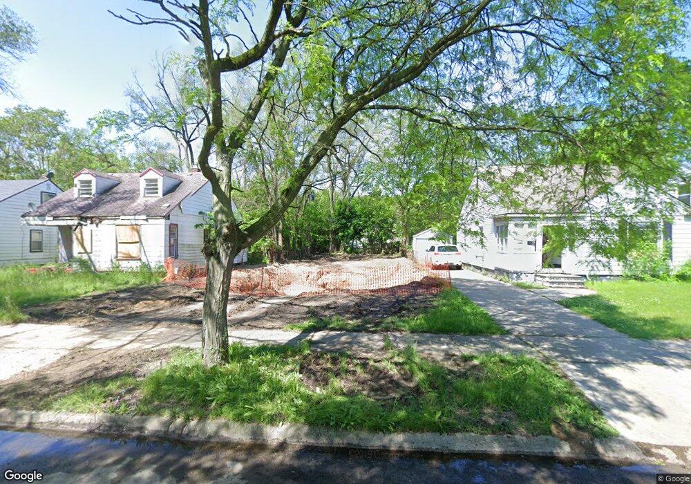
20059 Archdale St Detroit, MI 48235
Greenfield NeighborhoodEstimated Value: $55,000 - $87,000
--
Bed
1
Bath
706
Sq Ft
$102/Sq Ft
Est. Value
About This Home
This home is located at 20059 Archdale St, Detroit, MI 48235 and is currently estimated at $72,000, approximately $101 per square foot. 20059 Archdale St is a home located in Wayne County with nearby schools including Bow Elementary-Middle School, Charles L. Spain Elementary-Middle School, and Edward 'Duke' Ellington Conservatory of Music and Art.
Ownership History
Date
Name
Owned For
Owner Type
Purchase Details
Closed on
Nov 8, 2021
Sold by
Detroit Land Bank Authority
Bought by
Robinson Mcfall Dymond
Current Estimated Value
Purchase Details
Closed on
Feb 7, 2013
Sold by
Wayne County Treasurer
Bought by
Planning & Development Dept City Of Detr
Purchase Details
Closed on
May 24, 1995
Sold by
Burden Silvan
Bought by
Reynolds Jerome and Reynolds Viola
Create a Home Valuation Report for This Property
The Home Valuation Report is an in-depth analysis detailing your home's value as well as a comparison with similar homes in the area
Home Values in the Area
Average Home Value in this Area
Purchase History
| Date | Buyer | Sale Price | Title Company |
|---|---|---|---|
| Robinson Mcfall Dymond | -- | None Available | |
| Planning & Development Dept City Of Detr | -- | None Available | |
| Reynolds Jerome | $38,500 | -- |
Source: Public Records
Tax History Compared to Growth
Tax History
| Year | Tax Paid | Tax Assessment Tax Assessment Total Assessment is a certain percentage of the fair market value that is determined by local assessors to be the total taxable value of land and additions on the property. | Land | Improvement |
|---|---|---|---|---|
| 2025 | $38 | $1,500 | $0 | $0 |
| 2024 | $38 | $500 | $0 | $0 |
| 2023 | $38 | $500 | $0 | $0 |
| 2022 | $0 | $0 | $0 | $0 |
| 2021 | $0 | $0 | $0 | $0 |
| 2020 | $1,518 | $0 | $0 | $0 |
| 2019 | $1,518 | $0 | $0 | $0 |
| 2018 | $0 | $0 | $0 | $0 |
| 2017 | -- | $0 | $0 | $0 |
| 2016 | $240 | $0 | $0 | $0 |
| 2015 | $1,698 | $0 | $0 | $0 |
| 2013 | $1,698 | $16,980 | $0 | $0 |
| 2010 | -- | $24,328 | $876 | $23,452 |
Source: Public Records
Map
Nearby Homes
- 20210 Archdale St
- 20052 Archdale St
- 20245 Archdale St
- 20051 Oakfield St
- 20014 Southfield Rd
- 20004 Southfield Fwy
- 20200 Lindsay St
- 20510 Fenmore St
- 19950 Oakfield St
- 20220 Ashton Ave
- 19925 Archdale St
- 20201 Ashton Ave
- 20542 Oakfield St
- 20558 Oakfield St
- 20091 Biltmore St
- 20300 Gilchrist St
- 20542 Ashton Ave
- 20108 Biltmore St
- 19781 Oakfield St
- 19765 Archdale St
- 20051 Archdale St
- 20067 Archdale St
- 20043 Archdale St
- 20077 Archdale St
- 20037 Archdale St
- 20085 Archdale St
- 20058 Fenmore St
- 20050 Fenmore St
- 20066 Fenmore St
- 20074 Fenmore St
- 20042 Fenmore St
- 20091 Archdale St
- 20027 Archdale St
- 20034 Fenmore St
- 20060 Archdale St
- 20066 Archdale St
- 20021 Archdale St
- 20099 Archdale St
- 20044 Archdale St
- 20074 Archdale St