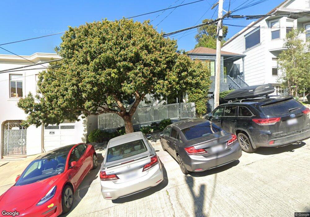
2006 22nd St San Francisco, CA 94107
Potrero NeighborhoodEstimated Value: $1,561,000
2
Beds
2
Baths
871
Sq Ft
$1,792/Sq Ft
Est. Value
About This Home
This home is located at 2006 22nd St, San Francisco, CA 94107 and is currently priced at $1,561,000, approximately $1,792 per square foot. 2006 22nd St is a home located in San Francisco County with nearby schools including Thomas Starr King Elementary School, Aptos Middle School, and The New School of San Francisco.
Ownership History
Date
Name
Owned For
Owner Type
Purchase Details
Closed on
Dec 17, 2010
Sold by
Menzies Ian
Bought by
Menzies Ian
Current Estimated Value
Purchase Details
Closed on
Jan 6, 2004
Sold by
Bollus Mitchell J
Bought by
Menzies Ian and Freitag Milam K
Home Financials for this Owner
Home Financials are based on the most recent Mortgage that was taken out on this home.
Original Mortgage
$620,800
Outstanding Balance
$259,244
Interest Rate
4.37%
Mortgage Type
Commercial
Create a Home Valuation Report for This Property
The Home Valuation Report is an in-depth analysis detailing your home's value as well as a comparison with similar homes in the area
Home Values in the Area
Average Home Value in this Area
Purchase History
| Date | Buyer | Sale Price | Title Company |
|---|---|---|---|
| Menzies Ian | -- | None Available | |
| Menzies Ian | $776,000 | Chicago Title Company |
Source: Public Records
Mortgage History
| Date | Status | Borrower | Loan Amount |
|---|---|---|---|
| Open | Menzies Ian | $620,800 | |
| Closed | Menzies Ian | $77,600 |
Source: Public Records
Tax History Compared to Growth
Tax History
| Year | Tax Paid | Tax Assessment Tax Assessment Total Assessment is a certain percentage of the fair market value that is determined by local assessors to be the total taxable value of land and additions on the property. | Land | Improvement |
|---|---|---|---|---|
| 2020 | $12,712 | $1,008,805 | $605,285 | $403,520 |
| 2019 | -- | $989,026 | $593,418 | $395,608 |
| 2018 | -- | $969,636 | $581,784 | $387,852 |
| 2017 | -- | $950,626 | $570,378 | $380,248 |
| 2016 | -- | $931,988 | $559,195 | $372,793 |
| 2015 | -- | $917,992 | $550,797 | $367,195 |
| 2014 | -- | $900,011 | $540,008 | $360,003 |
Source: Public Records
Map
Nearby Homes
- 1013 Rhode Island St
- 2023 22nd St
- 1002 Rhode Island St Unit 1
- 2119 22nd St
- 2018 23rd St
- 2250 24th St Unit 127
- 2401 23rd St
- 1040 Wisconsin St
- 666A Carolina St Unit 648
- 1338 Rhode Island St
- 2603 23rd St
- 1145 Wisconsin St
- 868 Potrero Ave
- 1354 Utah St Unit 1354
- 401 Arkansas St
- 2760 23rd St
- 1300 22nd St Unit 220
- 19 Blair Terrace
- 352 Arkansas St
- 2703 21st St
- 2004 22nd St
- 2002 22nd St
- 2024 22nd St
- 960 De Haro St
- 2036 22nd St Unit 3
- 2036 22nd St Unit 1
- 979 Rhode Island St Unit 981
- 954 De Haro St
- 969 Rhode Island St
- 2021 22nd St Unit A
- 1000 De Haro St Unit 1002
- 952 De Haro St
- 952 De Haro St Unit A
- 952 De Haro St Unit 952
- 961 Rhode Island St
- 1008 De Haro St Unit 1008
- 995 De Haro St Unit 995
- 995 De Haro St Unit 997
- 995 De Haro St
- 1006 De Haro St Unit 1006