Estimated Value: $175,478 - $219,000
1
Bed
1
Bath
1,170
Sq Ft
$166/Sq Ft
Est. Value
About This Home
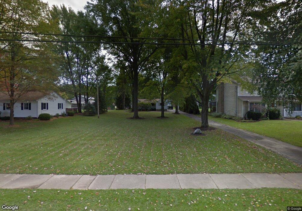
This home is located at 2006 Arndale Rd, Stow, OH 44224 and is currently estimated at $194,620, approximately $166 per square foot. 2006 Arndale Rd is a home located in Summit County with nearby schools including Stow-Munroe Falls High School, Holy Family Elementary School, and Cuyahoga Valley Christian Academy.
Ownership History
Date
Name
Owned For
Owner Type
Purchase Details
Closed on
May 12, 2003
Sold by
Glova Karen A and Glova Jeffrey W
Bought by
Campbell Jeffrey W and Campbell Karen A
Current Estimated Value
Purchase Details
Closed on
Dec 19, 2002
Sold by
Glova Karen A and Glova Karen A
Bought by
Campbell Jeffrey W and Campbell Karen A
Home Financials for this Owner
Home Financials are based on the most recent Mortgage that was taken out on this home.
Original Mortgage
$65,000
Interest Rate
6.01%
Create a Home Valuation Report for This Property
The Home Valuation Report is an in-depth analysis detailing your home's value as well as a comparison with similar homes in the area
Home Values in the Area
Average Home Value in this Area
Purchase History
| Date | Buyer | Sale Price | Title Company |
|---|---|---|---|
| Campbell Jeffrey W | -- | -- | |
| Campbell Jeffrey W | -- | Silver Oak Title Agency Inc |
Source: Public Records
Mortgage History
| Date | Status | Borrower | Loan Amount |
|---|---|---|---|
| Closed | Campbell Jeffrey W | $65,000 |
Source: Public Records
Tax History
| Year | Tax Paid | Tax Assessment Tax Assessment Total Assessment is a certain percentage of the fair market value that is determined by local assessors to be the total taxable value of land and additions on the property. | Land | Improvement |
|---|---|---|---|---|
| 2024 | $2,677 | $46,985 | $10,602 | $36,383 |
| 2023 | $2,677 | $46,985 | $10,602 | $36,383 |
| 2022 | $2,422 | $37,472 | $8,348 | $29,124 |
| 2021 | $2,171 | $37,472 | $8,348 | $29,124 |
| 2020 | $2,135 | $37,470 | $8,350 | $29,120 |
| 2019 | $2,247 | $36,900 | $8,350 | $28,550 |
| 2018 | $2,211 | $36,900 | $8,350 | $28,550 |
| 2017 | $2,115 | $36,900 | $8,350 | $28,550 |
| 2016 | $2,176 | $34,270 | $8,350 | $25,920 |
| 2015 | $2,115 | $34,270 | $8,350 | $25,920 |
| 2014 | $2,117 | $34,270 | $8,350 | $25,920 |
| 2013 | $2,127 | $34,670 | $8,350 | $26,320 |
Source: Public Records
Map
Nearby Homes
- 1961 Arndale Rd
- 2072 White Oak Dr Unit 2076
- 4424 Timberdale Dr Unit 4428
- 2055-2059 Bryn Mawr Dr
- 4623 Cox Dr
- 4138 Genevieve Blvd
- 3943 Darrow Rd
- 4909 Fishcreek Rd
- 4704 Red Willow Rd
- 2279 Becket Cir
- 2365 Norman Dr
- 4205 Osage St
- 2352 Becket Cir
- 4534 Foresthill Rd
- 3856 Northview Dr
- 1514 & 1516 Robin Ln
- 2221 Crockett Cir
- 0 Hibbard Dr
- 3842 Moreland Ave
- 4003 Kenneth Rd
- 1998 Arndale Rd
- 2016 Arndale Rd
- 1994 Arndale Rd
- 4180 Chesterland Blvd
- 4132 Chesterland Blvd
- 2024 Arndale Rd Unit 2028
- 2028 Arndale Rd
- 4124 Chesterland Blvd
- 4114 Chesterland Blvd
- 1988 Arndale Rd
- 4140 Chesterland Blvd
- 2007 Arndale Rd
- 4110 Chesterland Blvd
- 2025 Arndale Rd
- 1980 Arndale Rd Unit 1984
- 2003 Arndale Rd
- 4181 Chesterland Blvd
- 2037 Arndale Rd
- 2019 Arndale Rd
- 2048 Arndale Rd Unit 2052
Your Personal Tour Guide
Ask me questions while you tour the home.