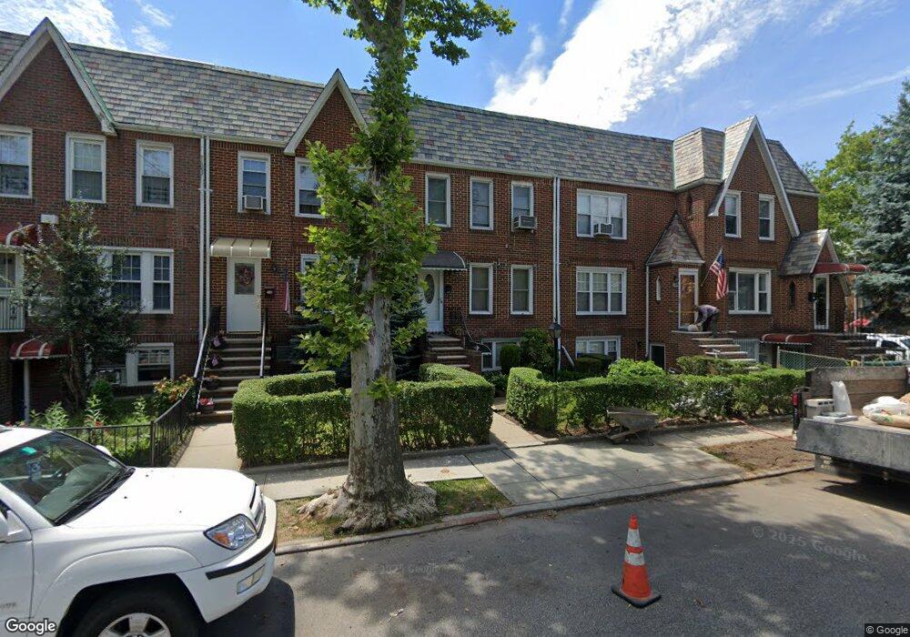
2006 E 29th St Brooklyn, NY 11229
Madison NeighborhoodEstimated Value: $767,000 - $903,000
Studio
2
Baths
1,260
Sq Ft
$676/Sq Ft
Est. Value
About This Home
This home is located at 2006 E 29th St, Brooklyn, NY 11229 and is currently estimated at $852,150, approximately $676 per square foot. 2006 E 29th St is a home located in Kings County with nearby schools including Ps 206 Joseph F Lamb, Jhs 14 Shell Bank, and Good Shepherd School.
Ownership History
Date
Name
Owned For
Owner Type
Purchase Details
Closed on
Sep 23, 2025
Sold by
Max Rodney and Max Rodney Andrew
Bought by
Rl Max Investment Llc
Current Estimated Value
Purchase Details
Closed on
Oct 30, 2023
Sold by
Keith R Weinstein As Trustee and Naroff
Bought by
Max Rodney
Purchase Details
Closed on
Feb 6, 2019
Sold by
Naroff Susan
Bought by
Keith R Weinstein Trustee Snak Family Tr and Snak Family Trust
Create a Home Valuation Report for This Property
The Home Valuation Report is an in-depth analysis detailing your home's value as well as a comparison with similar homes in the area
Home Values in the Area
Average Home Value in this Area
Purchase History
| Date | Buyer | Sale Price | Title Company |
|---|---|---|---|
| Rl Max Investment Llc | -- | -- | |
| Max Rodney | $831,000 | -- | |
| Keith R Weinstein Trustee Snak Family Tr | -- | -- |
Source: Public Records
Tax History
| Year | Tax Paid | Tax Assessment Tax Assessment Total Assessment is a certain percentage of the fair market value that is determined by local assessors to be the total taxable value of land and additions on the property. | Land | Improvement |
|---|---|---|---|---|
| 2025 | $6,022 | $56,100 | $8,400 | $47,700 |
| 2024 | $6,022 | $56,220 | $8,400 | $47,820 |
| 2023 | $2,737 | $51,360 | $8,400 | $42,960 |
| 2022 | $2,515 | $42,060 | $8,400 | $33,660 |
| 2021 | $2,491 | $42,300 | $8,400 | $33,900 |
| 2019 | $4,934 | $44,880 | $8,400 | $36,480 |
| 2018 | $4,757 | $24,796 | $5,166 | $19,630 |
| 2017 | $4,469 | $23,393 | $5,182 | $18,211 |
| 2016 | $4,102 | $22,069 | $6,602 | $15,467 |
| 2015 | $3,027 | $20,820 | $9,300 | $11,520 |
| 2014 | $3,027 | $20,820 | $9,300 | $11,520 |
Source: Public Records
Map
Nearby Homes
- 2011 E 27th St
- 3334 Nostrand Ave
- 3338 Nostrand Ave
- 1963 E 27th St
- 1953 E 28th St
- 2063 E 28th St
- 1941 E 29th St
- 2024 Haring St
- 1934 Haring St
- 2711 Avenue S Unit 5C
- 1921 Haring St
- 2611 Avenue S
- 1874 E 27th St
- 3202 Nostrand Ave Unit 1G
- 2138 E 26th St
- 3203 Nostrand Ave Unit 5T
- 3203 Nostrand Ave Unit 5E
- 3203 Nostrand Ave Unit LB
- 4215 Bedford Ave
- 2133 Haring St Unit 2C
- 2006 E 29th St
- 2006 E 29th St
- 2008 E 29th St
- 2004 E 29th St
- 2010 E 29th St
- 2002 E 29th St
- 2012 E 29th St
- 2016 E 29th St
- 2018 E 29th St
- 2005 E 28th St
- 2007 E 28th St
- 2003 E 28th St
- 2009 E 28th St
- 2001 E 28th St Unit 4
- 2020 E 29th St
- 2011 E 28th St
- 2015 E 28th St
- 2022 E 29th St
- 2017 E 28th St
- 1996 E 29 St
Your Personal Tour Guide
Ask me questions while you tour the home.