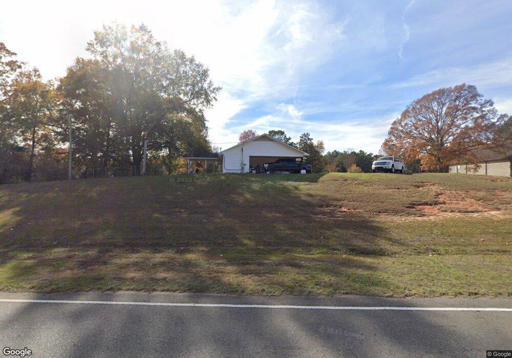
2006 Highway 820 Choudrant, LA 71227
Estimated Value: $287,218 - $523,000
3
Beds
2
Baths
1,864
Sq Ft
$210/Sq Ft
Est. Value
About This Home
This home is located at 2006 Highway 820, Choudrant, LA 71227 and is currently estimated at $391,805, approximately $210 per square foot. 2006 Highway 820 is a home located in Lincoln Parish with nearby schools including Choudrant Elementary School, Choudrant High School, and Ruston Junior High School.
Ownership History
Date
Name
Owned For
Owner Type
Purchase Details
Closed on
Jun 19, 2009
Sold by
Roach Daniel Loyd and Roach Susan M
Bought by
Rambin Murphy Ii Richard L and Rambin Murphy Tara
Current Estimated Value
Home Financials for this Owner
Home Financials are based on the most recent Mortgage that was taken out on this home.
Original Mortgage
$142,373
Outstanding Balance
$88,738
Interest Rate
4.84%
Mortgage Type
FHA
Estimated Equity
$303,067
Purchase Details
Closed on
Sep 7, 2007
Sold by
Pardue Hennen Virgil Albert and Pardue Hennen Joyce
Bought by
Roach Daniel L and Roach Susan M
Home Financials for this Owner
Home Financials are based on the most recent Mortgage that was taken out on this home.
Original Mortgage
$75,000
Interest Rate
6.72%
Mortgage Type
Purchase Money Mortgage
Create a Home Valuation Report for This Property
The Home Valuation Report is an in-depth analysis detailing your home's value as well as a comparison with similar homes in the area
Purchase History
| Date | Buyer | Sale Price | Title Company |
|---|---|---|---|
| Rambin Murphy Ii Richard L | $145,000 | None Available | |
| Roach Daniel L | $75,000 | None Available |
Source: Public Records
Mortgage History
| Date | Status | Borrower | Loan Amount |
|---|---|---|---|
| Open | Rambin Murphy Ii Richard L | $142,373 | |
| Previous Owner | Roach Daniel L | $75,000 |
Source: Public Records
Tax History
| Year | Tax Paid | Tax Assessment Tax Assessment Total Assessment is a certain percentage of the fair market value that is determined by local assessors to be the total taxable value of land and additions on the property. | Land | Improvement |
|---|---|---|---|---|
| 2025 | $1,659 | $20,545 | $1,539 | $19,006 |
| 2024 | $1,659 | $20,545 | $1,539 | $19,006 |
| 2023 | $1,536 | $18,209 | $1,769 | $16,440 |
| 2022 | $1,526 | $18,209 | $1,769 | $16,440 |
| 2021 | $1,502 | $18,209 | $1,769 | $16,440 |
| 2020 | $1,366 | $16,449 | $1,769 | $14,680 |
| 2019 | $1,385 | $16,449 | $1,769 | $14,680 |
| 2018 | $1,386 | $16,449 | $1,769 | $14,680 |
| 2017 | $1,389 | $16,449 | $1,769 | $14,680 |
| 2016 | $1,417 | $0 | $0 | $0 |
| 2015 | $1,324 | $14,163 | $1,535 | $12,628 |
| 2013 | $1,343 | $14,163 | $1,535 | $12,628 |
Source: Public Records
Map
Nearby Homes
- 165 Loblolly Ln
- 120 Lanes End Dr
- 448 Loblolly Ln
- 120 Douglas Ln
- 0 Spillers Rd
- 1950 Louisiana 821
- 201 Vintage Ln
- 00 Cheatwood Rd
- 634 Cheatwood Rd
- 219 Lamar Rd
- 106 Tes Dr
- 0 Oak Tree Rd
- 0 N Depot St
- 500 Hogan Rd
- 145 Woodshire Ln
- 641 Goodgoin Rd
- 00 Par Road 43
- 197 Baxter Rd
- 173 Oak Alley Dr
- 510 Louisiana 556
- 2040 Highway 820
- 212 Keeneland Ct
- 2073 Highway 820
- 216 Keeneland Ct
- 2078 Highway 820
- 220 Keeneland Ct
- 224 Keeneland Ct
- 1986 Highway 820
- 228 Keeneland Ct
- 194 Redhaven Rd
- 232 Keeneland Ct
- 236 Keeneland Ct
- 195 Redhaven Rd
- 240 Keeneland Ct
- 2104 Highway 820
- 26 Loblolly Ln
- 14 Loblolly Ln
- 50 Loblolly Ln
- 42 Loblolly Ln
- 54 Loblolly Ln
Your Personal Tour Guide
Ask me questions while you tour the home.