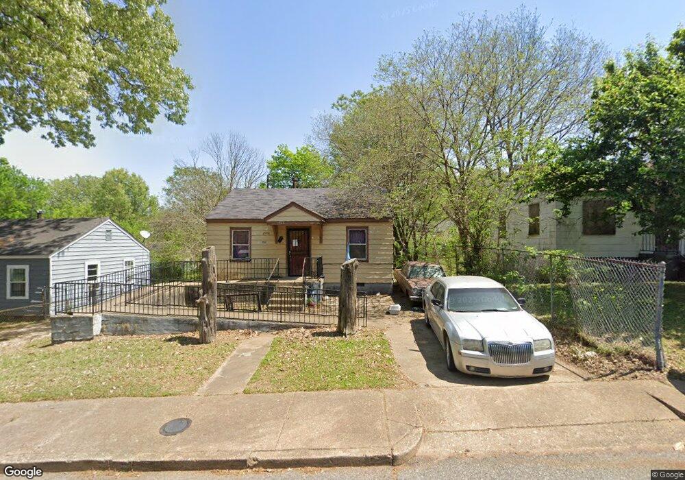
2006 Swift St Memphis, TN 38109
South Memphis NeighborhoodEstimated Value: $38,000 - $52,633
2
Beds
1
Bath
648
Sq Ft
$69/Sq Ft
Est. Value
About This Home
This home is located at 2006 Swift St, Memphis, TN 38109 and is currently estimated at $44,658, approximately $68 per square foot. 2006 Swift St is a home located in Shelby County with nearby schools including Riverview Middle School, Hamilton High School, and Vision Preparatory Charter School.
Ownership History
Date
Name
Owned For
Owner Type
Purchase Details
Closed on
Jul 31, 2007
Sold by
Graham Sharon
Bought by
Edwards John
Current Estimated Value
Purchase Details
Closed on
Jan 25, 2007
Sold by
Burnett Herbert
Bought by
Hud
Purchase Details
Closed on
Apr 1, 2002
Sold by
Graham Roscoe
Bought by
Burnett Herbert
Home Financials for this Owner
Home Financials are based on the most recent Mortgage that was taken out on this home.
Original Mortgage
$32,490
Interest Rate
6.8%
Mortgage Type
FHA
Create a Home Valuation Report for This Property
The Home Valuation Report is an in-depth analysis detailing your home's value as well as a comparison with similar homes in the area
Home Values in the Area
Average Home Value in this Area
Purchase History
| Date | Buyer | Sale Price | Title Company |
|---|---|---|---|
| Edwards John | -- | None Available | |
| Hud | $34,401 | None Available | |
| Burnett Herbert | $33,000 | Community Equity & Title Inc |
Source: Public Records
Mortgage History
| Date | Status | Borrower | Loan Amount |
|---|---|---|---|
| Previous Owner | Burnett Herbert | $32,490 |
Source: Public Records
Tax History
| Year | Tax Paid | Tax Assessment Tax Assessment Total Assessment is a certain percentage of the fair market value that is determined by local assessors to be the total taxable value of land and additions on the property. | Land | Improvement |
|---|---|---|---|---|
| 2025 | -- | -- | -- | -- |
| 2024 | -- | -- | -- | -- |
| 2022 | $0 | $0 | $0 | $0 |
| 2021 | $429 | $5,925 | $875 | $5,050 |
| 2020 | $355 | $4,900 | $875 | $4,025 |
| 2019 | $157 | $4,900 | $875 | $4,025 |
| 2018 | $157 | $4,900 | $875 | $4,025 |
| 2017 | $160 | $4,900 | $875 | $4,025 |
| 2016 | $223 | $5,100 | $0 | $0 |
| 2014 | $223 | $5,100 | $0 | $0 |
Source: Public Records
Map
Nearby Homes
- 324 Outer Pkwy
- 380 Outer Pkwy
- 2076 Farrington St
- 2059 Rile St
- 268 W Mckellar Ave
- 2105 Farrington St
- 1872 Rile St
- 372 Hollowell Ave
- 200 W Davant Ave
- 140 Temple Ave
- 346 Modder Ave
- 177 Modder Ave
- 123 W Frank Ave
- 267 W Mckellar Ave
- 135 W Mckellar Ave
- 274 W Mckellar Ave
- 260 W Mckellar Ave
- 132 Majuba Ave
- 1757 Farrington St
- 1772 Riverside Blvd
Your Personal Tour Guide
Ask me questions while you tour the home.