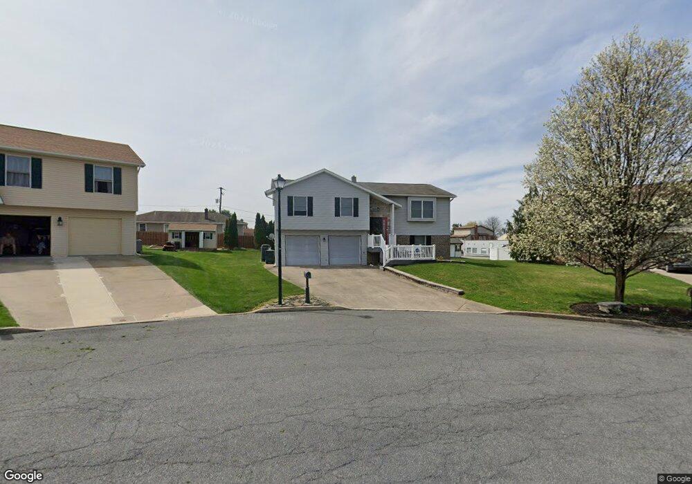
2006 Woodside Ct Allentown, PA 18103
Southside NeighborhoodEstimated Value: $378,783 - $408,000
3
Beds
2
Baths
1,892
Sq Ft
$208/Sq Ft
Est. Value
About This Home
This home is located at 2006 Woodside Ct, Allentown, PA 18103 and is currently estimated at $393,946, approximately $208 per square foot. 2006 Woodside Ct is a home located in Lehigh County with nearby schools including Donahoe Elementary School, Dumbarton Elementary School, and Salisbury Elementary School.
Ownership History
Date
Name
Owned For
Owner Type
Purchase Details
Closed on
Aug 26, 1994
Sold by
Liz Corporation
Bought by
Hein Sterling G and Hein Diane M
Current Estimated Value
Purchase Details
Closed on
Aug 30, 1985
Bought by
Liz Corporation
Create a Home Valuation Report for This Property
The Home Valuation Report is an in-depth analysis detailing your home's value as well as a comparison with similar homes in the area
Home Values in the Area
Average Home Value in this Area
Purchase History
| Date | Buyer | Sale Price | Title Company |
|---|---|---|---|
| Hein Sterling G | $131,200 | -- | |
| Liz Corporation | $108,000 | -- |
Source: Public Records
Tax History Compared to Growth
Tax History
| Year | Tax Paid | Tax Assessment Tax Assessment Total Assessment is a certain percentage of the fair market value that is determined by local assessors to be the total taxable value of land and additions on the property. | Land | Improvement |
|---|---|---|---|---|
| 2025 | $6,082 | $193,100 | $34,400 | $158,700 |
| 2024 | $5,810 | $193,100 | $34,400 | $158,700 |
| 2023 | $5,512 | $193,100 | $34,400 | $158,700 |
| 2022 | $5,373 | $193,100 | $158,700 | $34,400 |
| 2021 | $5,158 | $193,100 | $34,400 | $158,700 |
| 2020 | $4,957 | $193,100 | $34,400 | $158,700 |
| 2019 | $4,776 | $193,100 | $34,400 | $158,700 |
| 2018 | $4,691 | $193,100 | $34,400 | $158,700 |
| 2017 | $4,572 | $193,100 | $34,400 | $158,700 |
| 2016 | -- | $193,100 | $34,400 | $158,700 |
| 2015 | -- | $193,100 | $34,400 | $158,700 |
| 2014 | -- | $193,100 | $34,400 | $158,700 |
Source: Public Records
Map
Nearby Homes
- 1865 Chapel Ave
- 102 W Brookdale St
- 121 Woodcrest Cir
- 2429 S Front St
- 206 208 W Emaus Ave
- 2421 S Wood St
- 320 E Paoli St
- 148 W Brookdale St
- 1852 S 2nd St
- 203 W Brookdale St
- 135 W Wabash St
- 127 E Lynnwood St
- 2441 S 4th St
- 2331 S Filbert St
- 316 W Mountain Rd
- 514 E Lexington St
- 2416 S Alice St Unit 2418
- 2347 S Law St Unit 2349
- 566 W Emaus Ave
- 566 588 W Emaus Ave
- 2002 Woodside Ct
- 2010 Woodside Ct
- 1927 S Bradford St
- 2000 Woodside Ct
- 1911 S Bradford St
- 2014 Woodside Ct
- 1924 S Bradford St Unit 1926
- 2005 Woodside Ct
- 1936 S Bradford St Unit 1938
- 200 E Emmaus Ave Unit 204
- 210 E Emmaus Ave
- 1914 S Bradford St
- 2018 Woodside Ct
- 1929 S Aubrey St Unit 1931
- 2009 Woodside Ct
- 1918 S Bradford St Unit 1922
- 1941 S Bradford St
- 1923 S Aubrey St Unit 1925
- 1935 S Aubrey St Unit 1937
- 1950 S Bradford St