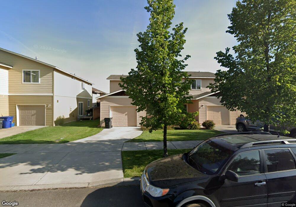
20060 Doanna Way Bend, OR 97702
Southwest Bend NeighborhoodEstimated Value: $713,359 - $757,000
About This Home
This home is located at 20060 Doanna Way, Bend, OR 97702 and is currently estimated at $737,090, approximately $614 per square foot. 20060 Doanna Way is a home located in Deschutes County with nearby schools including Pine Ridge Elementary School, Cascade Middle School, and Bend Senior High School.
Ownership History
We collect this data history from publicly available records. To have your information removed, we recommend requesting removal directly through your county’s website.
Purchase Details
Purchase Details
Home Financials for this Owner
Home Financials are based on the most recent Mortgage that was taken out on this home.Home Values in the Area
Average Home Value in this Area
Purchase History
We collect this data history from publicly available records. To have your information removed, we recommend requesting removal directly through your county’s website.
| Date | Buyer | Sale Price | Title Company |
|---|---|---|---|
| -- | None Available | ||
| $315,000 | Western Title & Escrow Co |
Mortgage History
We collect this data history from publicly available records. To have your information removed, we recommend requesting removal directly through your county’s website.
| Date | Status | Borrower | Loan Amount |
|---|---|---|---|
| Open | $195,000 |
Tax History
We collect this data history from publicly available records. To have your information removed, we recommend requesting removal directly through your county’s website.
| Year | Tax Paid | Tax Assessment Tax Assessment Total Assessment is a certain percentage of the fair market value that is determined by local assessors to be the total taxable value of land and additions on the property. | Land | Improvement |
|---|---|---|---|---|
| 2025 | $4,791 | $283,570 | -- | -- |
| 2024 | $4,610 | $275,320 | -- | -- |
| 2023 | $4,273 | $267,310 | $0 | $0 |
| 2022 | $3,987 | $251,980 | $0 | $0 |
| 2021 | $3,993 | $244,650 | $0 | $0 |
| 2020 | $3,789 | $244,650 | $0 | $0 |
| 2019 | $3,683 | $237,530 | $0 | $0 |
| 2018 | $3,579 | $230,620 | $0 | $0 |
| 2017 | $3,474 | $223,910 | $0 | $0 |
| 2016 | $3,313 | $217,390 | $0 | $0 |
| 2015 | $3,221 | $211,060 | $0 | $0 |
| 2014 | $3,127 | $204,920 | $0 | $0 |
Map
- 20085 Sally Ct
- 61400 SW Blakely Rd
- 20090 Mount Faith Place
- 20429 SE Senden Ln
- 20016 Mount Hope Ln
- 19975 Rock Bluff Cir
- 61285 Bronze Meadow Ln
- 20184 Merriewood Ln
- 19951 Cliffrose Dr
- 19987 Badger Rd
- 61216 Brittle Bush St
- 19985 Voltera Place
- 19827 Powers Rd
- 61521 Sunny Breeze Ln
- 20036 SW Sunny Way
- 20252 Badger Rd
- 0 Moonshadow Ct Unit Lot 17
- 0 Moonshadow Ct Unit Lot 1
- 61181 Hitching Post Ln
- 0 Pinebrook Blvd Unit 220199740
- 61355 Blakely Rd
- 20086 Porter Place
- 61367 Blakely Rd Unit 1&2
- 61367 Blakely Rd
- 20082 Porter Place
- 20086 Sally Ct
- 61359 Blakely Rd
- 20082 Sally Ct
- 20078 Porter Place
- 0 Powers Rd
- 61381 Blakely Rd
- 20077 Sally Ct
- 20077 Sally Ct Unit 1 & 2
- 20085 Porter Place Unit 2
- 20085 Porter Place
- 20081 Porter Place
- 20081 Porter Place Unit 1,2
- 20078 Sally Ct
- 20077 Porter Place
- 20074 Sally Ct Unit 2
Ask me questions while you tour the home.