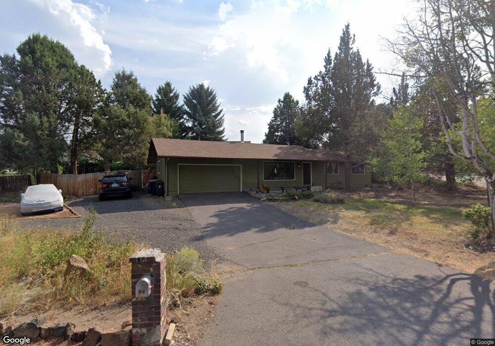
20061 Thomas Dr Bend, OR 97702
Larkspur NeighborhoodEstimated Value: $571,000 - $609,000
3
Beds
2
Baths
1,222
Sq Ft
$480/Sq Ft
Est. Value
About This Home
This home is located at 20061 Thomas Dr, Bend, OR 97702 and is currently estimated at $586,133, approximately $479 per square foot. 20061 Thomas Dr is a home located in Deschutes County with nearby schools including Bear Creek Elementary School, Pilot Butte Middle School, and Bend Senior High School.
Ownership History
Date
Name
Owned For
Owner Type
Purchase Details
Closed on
Sep 8, 2014
Sold by
Phillips Joshua James and Hunton Chelsea Sarah
Bought by
Phillips Joshua and Phillips Chelsea Sarah
Current Estimated Value
Home Financials for this Owner
Home Financials are based on the most recent Mortgage that was taken out on this home.
Original Mortgage
$184,000
Interest Rate
4.09%
Mortgage Type
New Conventional
Create a Home Valuation Report for This Property
The Home Valuation Report is an in-depth analysis detailing your home's value as well as a comparison with similar homes in the area
Home Values in the Area
Average Home Value in this Area
Purchase History
| Date | Buyer | Sale Price | Title Company |
|---|---|---|---|
| Phillips Joshua | -- | Western Title & Escrow |
Source: Public Records
Mortgage History
| Date | Status | Borrower | Loan Amount |
|---|---|---|---|
| Closed | Phillips Joshua | $184,000 |
Source: Public Records
Tax History
| Year | Tax Paid | Tax Assessment Tax Assessment Total Assessment is a certain percentage of the fair market value that is determined by local assessors to be the total taxable value of land and additions on the property. | Land | Improvement |
|---|---|---|---|---|
| 2025 | $3,476 | $205,730 | -- | -- |
| 2024 | $3,344 | $199,740 | -- | -- |
| 2023 | $3,100 | $193,930 | $0 | $0 |
| 2022 | $2,893 | $182,810 | $0 | $0 |
| 2021 | $2,897 | $177,490 | $0 | $0 |
| 2020 | $2,748 | $177,490 | $0 | $0 |
| 2019 | $2,672 | $172,330 | $0 | $0 |
| 2018 | $2,453 | $158,070 | $0 | $0 |
| 2017 | $2,278 | $146,830 | $0 | $0 |
| 2016 | $2,173 | $142,560 | $0 | $0 |
| 2015 | $2,113 | $138,410 | $0 | $0 |
| 2014 | $2,050 | $134,380 | $0 | $0 |
Source: Public Records
Map
Nearby Homes
- 789 SE Airpark Dr
- 21024 SE Azalia Ave
- 301 SE Springer Ct
- 161 SE Rice Way
- 1761 SE Ironwood Ct
- 61813 Azalia Place
- 268 SE 15th St Unit 268/270
- 734 SE Manley Place
- 61725 SE Daly Estates Rd
- 61839 Avonlea Cir
- 98 NE Telima Ln
- 61683 Daly Estates Dr
- 21177 Ritz Place
- 61632 Pettigrew Rd Unit 18
- 21182 Desert Skies Place
- 1001 SE 15th St Unit 39
- 1001 SE 15th St Unit 31
- 1001 SE 15th St Unit 110
- 1001 SE 15th St Unit 126
- 61839 SE 27th St
- 1932 SE Fairwood Dr
- 1944 SE Fairwood Dr
- 1920 SE Fairwood Dr
- 20071 Thomas Dr
- 1950 SE Fairwood Dr
- 20068 Thomas Dr
- 545 SE Airpark Dr
- 1962 SE Fairwood Dr
- 565 SE Airpark Dr
- 20083 Thomas Dr
- 615 SE Airpark Dr
- 688 SE Shadowood Dr
- 593 SE Airpark Dr
- 1927 SE Fairwood Dr
- 1974 SE Fairwood Dr
- 505 SE Airpark Dr
- 1953 SE Fairwood Dr
- 480 SE Airpark Dr
- 641 SE Airpark Dr
Your Personal Tour Guide
Ask me questions while you tour the home.