20063 N Buck Rd Acampo, CA 95220
Estimated Value: $1,269,000 - $1,781,000
4
Beds
2
Baths
--
Sq Ft
418,176
Sq Ft
About This Home
This home is located at 20063 N Buck Rd, Acampo, CA 95220 and is currently estimated at $1,564,548. 20063 N Buck Rd is a home located in San Joaquin County with nearby schools including Victor Elementary School, Houston School, and Lodi High School.
Ownership History
Date
Name
Owned For
Owner Type
Purchase Details
Closed on
Sep 20, 2021
Sold by
Allen Michael B
Bought by
Michael And Pamela Allen 2009 Revocable Trust
Current Estimated Value
Purchase Details
Closed on
Feb 23, 2012
Sold by
Allen Michael
Bought by
Allen Michael B and Allen Pamela K
Purchase Details
Closed on
Mar 14, 2007
Sold by
Devine Renne Michelle
Bought by
Allen Michael
Purchase Details
Closed on
Dec 17, 2002
Sold by
Bates Bruce G
Bought by
Allen Michael and Devine Renne Michelle
Home Financials for this Owner
Home Financials are based on the most recent Mortgage that was taken out on this home.
Original Mortgage
$100,000
Interest Rate
6.03%
Create a Home Valuation Report for This Property
The Home Valuation Report is an in-depth analysis detailing your home's value as well as a comparison with similar homes in the area
Purchase History
| Date | Buyer | Sale Price | Title Company |
|---|---|---|---|
| Michael And Pamela Allen 2009 Revocable Trust | -- | -- | |
| Allen Michael B | -- | None Available | |
| Allen Michael | $45,500 | New Century Title Company | |
| Allen Michael | $175,000 | Chicago Title Co |
Source: Public Records
Mortgage History
| Date | Status | Borrower | Loan Amount |
|---|---|---|---|
| Previous Owner | Allen Michael | $100,000 |
Source: Public Records
Tax History
| Year | Tax Paid | Tax Assessment Tax Assessment Total Assessment is a certain percentage of the fair market value that is determined by local assessors to be the total taxable value of land and additions on the property. | Land | Improvement |
|---|---|---|---|---|
| 2025 | $14,637 | $1,267,532 | $365,936 | $901,596 |
| 2024 | $14,247 | $1,242,680 | $358,761 | $883,919 |
| 2023 | $13,422 | $1,218,315 | $351,727 | $866,588 |
| 2022 | $13,130 | $1,194,428 | $344,831 | $849,597 |
| 2021 | $13,072 | $1,171,009 | $338,070 | $832,939 |
| 2020 | $12,514 | $1,155,396 | $334,604 | $820,792 |
| 2019 | $12,435 | $1,132,743 | $328,044 | $804,699 |
| 2018 | $11,593 | $1,050,355 | $321,612 | $728,743 |
| 2017 | $11,333 | $1,029,760 | $315,306 | $714,454 |
| 2016 | $10,622 | $1,009,571 | $309,124 | $700,447 |
| 2014 | $4,963 | $462,810 | $298,520 | $164,290 |
Source: Public Records
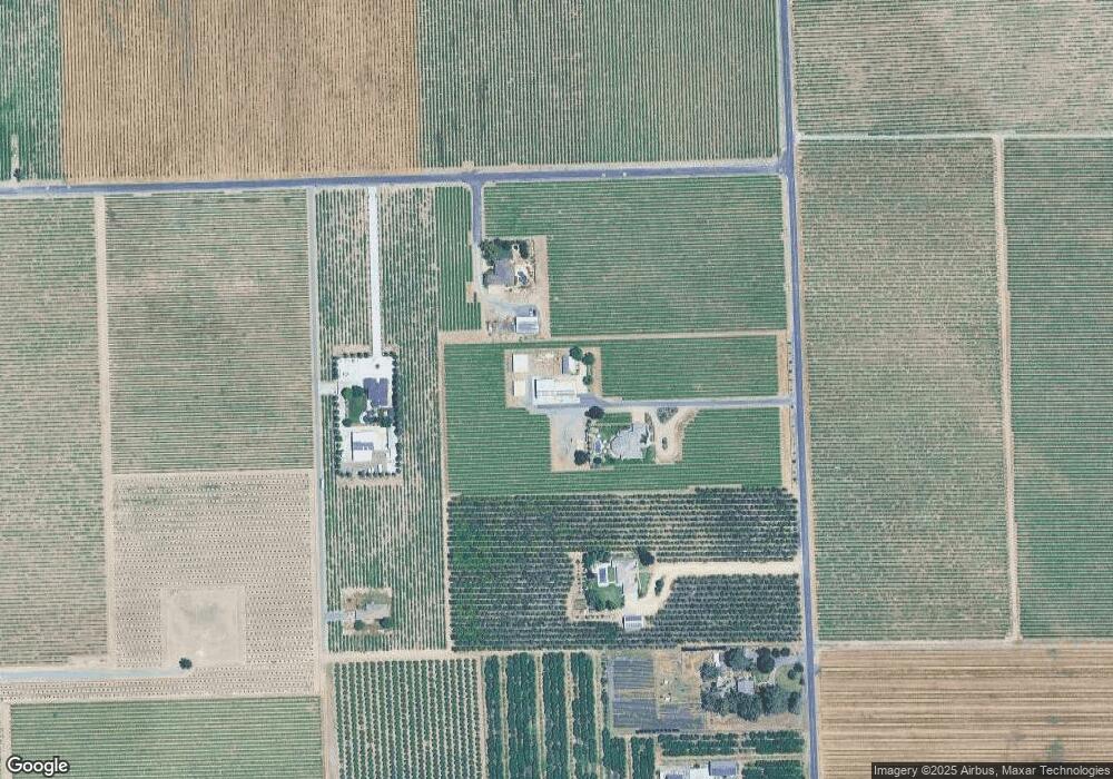
Map
Nearby Homes
- 6233 E Woodbridge Rd
- 8275 E Orchard Rd Unit E
- 21428 N Dutchess Ln
- 21324 N Dutchess Ln
- 21376 N Dutchess Ln
- 21863 N Bruella Rd
- 21167 N Tretheway Rd
- 11153 E Peltier Rd
- 22135 Bruella Rd
- 17010 N Locust Tree Rd
- 20500 Elliott Rd
- 20800 Elliott Rd
- 12718 Locke Rd
- 13250 E Highway 88
- 18450 N Highway 88
- 18450 N Highway 88 Unit 17
- 18450 N Highway 88 Unit 14
- 18450 N Highway 88 Unit 7A
- 18450 California 88 Unit 44
- 18566 Milford Dr
- 9522 E South Orchard Rd
- 9422 E South Orchard Rd
- 19921 N Buck Rd
- 13929 E Orchard Rd
- 19839 N Buck Rd
- 19771 N Buck Rd
- 9655 E South Orchard Rd
- 9531 E South Orchard Rd
- 9373 E Orchard Rd
- 9373 E South Orchard Rd
- 9100 E South Orchard Rd
- 9225 E South Orchard Rd
- 9139 E South Orchard Rd
- 19333 N Buck Rd
- 19601 N Buck Rd
- 8942 E Orchard Rd Unit E
- 19600 N Bruella Rd
- 19500 N Bruella Rd
- 10125 E Woodbridge Rd
- 10112 E Woodbridge Rd
Your Personal Tour Guide
Ask me questions while you tour the home.