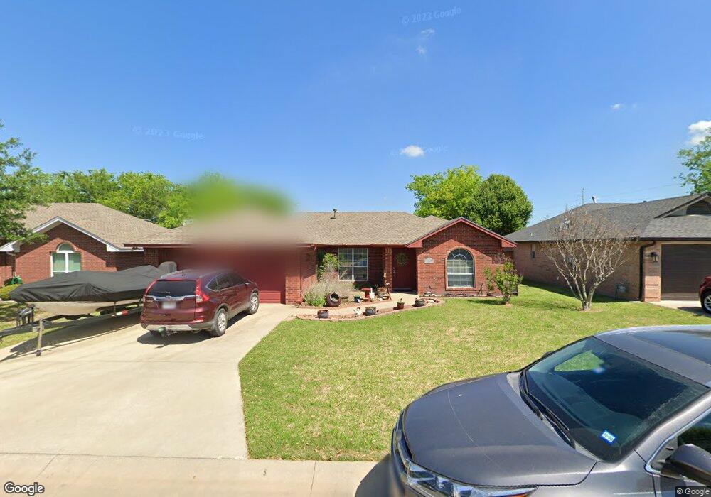
2007 Brooke Dr Sanger, TX 76266
Estimated Value: $255,715 - $289,000
3
Beds
2
Baths
1,244
Sq Ft
$219/Sq Ft
Est. Value
About This Home
This home is located at 2007 Brooke Dr, Sanger, TX 76266 and is currently estimated at $272,429, approximately $218 per square foot. 2007 Brooke Dr is a home located in Denton County with nearby schools including Chisholm Trail Elementary School, Clear Creek Intermediate School, and Sanger Middle School.
Ownership History
Date
Name
Owned For
Owner Type
Purchase Details
Closed on
Jan 27, 2000
Sold by
Looper Enterprises Inc
Bought by
Long Suzanne E
Current Estimated Value
Home Financials for this Owner
Home Financials are based on the most recent Mortgage that was taken out on this home.
Original Mortgage
$88,600
Outstanding Balance
$41,819
Interest Rate
7.95%
Estimated Equity
$230,610
Create a Home Valuation Report for This Property
The Home Valuation Report is an in-depth analysis detailing your home's value as well as a comparison with similar homes in the area
Home Values in the Area
Average Home Value in this Area
Purchase History
| Date | Buyer | Sale Price | Title Company |
|---|---|---|---|
| Long Suzanne E | -- | -- |
Source: Public Records
Mortgage History
| Date | Status | Borrower | Loan Amount |
|---|---|---|---|
| Open | Long Suzanne E | $88,600 |
Source: Public Records
Tax History
| Year | Tax Paid | Tax Assessment Tax Assessment Total Assessment is a certain percentage of the fair market value that is determined by local assessors to be the total taxable value of land and additions on the property. | Land | Improvement |
|---|---|---|---|---|
| 2025 | $2,301 | $260,625 | $60,000 | $223,164 |
| 2024 | $4,788 | $236,932 | $0 | $0 |
| 2023 | $2,154 | $215,393 | $60,000 | $218,690 |
| 2022 | $4,342 | $195,812 | $51,000 | $185,681 |
| 2021 | $3,741 | $178,011 | $30,600 | $147,411 |
| 2020 | $3,885 | $175,563 | $30,600 | $144,963 |
| 2019 | $3,666 | $160,999 | $30,600 | $138,467 |
| 2018 | $3,350 | $146,363 | $30,600 | $115,763 |
| 2017 | $3,131 | $136,152 | $30,600 | $105,552 |
| 2016 | $2,867 | $124,641 | $18,600 | $106,041 |
| 2015 | $2,252 | $115,978 | $18,600 | $97,378 |
| 2013 | -- | $98,780 | $18,600 | $80,180 |
Source: Public Records
Map
Nearby Homes
- 2029 Laney Dr
- 701 Keaton Rd S Unit S
- 821 Jennifer Ct
- 1804 Sand Stone Dr
- 2501 Caddo Trail
- 820 N Tejas Dr
- 411 Hughes St
- 1149 Serendipity Cir
- 1209 Bolivar St
- Tbd I35
- 141 Shady Grove Dr
- TBD Church St
- Tbd Church St
- 1001 Hunters Ct
- 412 N 10th St
- 113 Diane Dr
- 4063 Farm To Market 455 W
- 710 W Willow St
- 612 N 10th St
- 227 Diane Dr
Your Personal Tour Guide
Ask me questions while you tour the home.