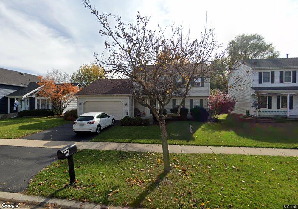
2007 Cambridge Dr Unit 11A Saint Charles, IL 60174
Southeast Saint Charles NeighborhoodEstimated Value: $449,448 - $472,000
3
Beds
3
Baths
1,741
Sq Ft
$264/Sq Ft
Est. Value
About This Home
This home is located at 2007 Cambridge Dr Unit 11A, Saint Charles, IL 60174 and is currently estimated at $459,112, approximately $263 per square foot. 2007 Cambridge Dr Unit 11A is a home located in Kane County with nearby schools including Munhall Elementary School, Wredling Middle School, and St Charles East High School.
Ownership History
Date
Name
Owned For
Owner Type
Purchase Details
Closed on
Sep 8, 1995
Sold by
Weislak Kenneth E and Weislak Mary T
Bought by
Chapp Richard W and Chapp Jill M
Current Estimated Value
Home Financials for this Owner
Home Financials are based on the most recent Mortgage that was taken out on this home.
Original Mortgage
$145,600
Interest Rate
6.87%
Create a Home Valuation Report for This Property
The Home Valuation Report is an in-depth analysis detailing your home's value as well as a comparison with similar homes in the area
Home Values in the Area
Average Home Value in this Area
Purchase History
| Date | Buyer | Sale Price | Title Company |
|---|---|---|---|
| Chapp Richard W | $182,000 | -- |
Source: Public Records
Mortgage History
| Date | Status | Borrower | Loan Amount |
|---|---|---|---|
| Previous Owner | Chapp Richard W | $145,600 |
Source: Public Records
Tax History Compared to Growth
Tax History
| Year | Tax Paid | Tax Assessment Tax Assessment Total Assessment is a certain percentage of the fair market value that is determined by local assessors to be the total taxable value of land and additions on the property. | Land | Improvement |
|---|---|---|---|---|
| 2024 | $7,985 | $125,443 | $33,516 | $91,927 |
| 2023 | $8,195 | $112,273 | $29,997 | $82,276 |
| 2022 | $7,763 | $104,026 | $33,203 | $70,823 |
| 2021 | $7,444 | $99,157 | $31,649 | $67,508 |
| 2020 | $7,360 | $97,308 | $31,059 | $66,249 |
| 2019 | $7,222 | $95,381 | $30,444 | $64,937 |
| 2018 | $6,851 | $90,483 | $29,286 | $61,197 |
| 2017 | $6,539 | $85,957 | $28,284 | $57,673 |
| 2016 | $7,040 | $82,938 | $27,291 | $55,647 |
| 2015 | -- | $79,666 | $26,997 | $52,669 |
| 2014 | -- | $76,337 | $26,997 | $49,340 |
| 2013 | -- | $79,502 | $27,267 | $52,235 |
Source: Public Records
Map
Nearby Homes
- 1724 Patricia Ln
- 1718 Patricia Ln Unit 4
- 1718 Jeanette Ave
- 662 Nichole Ln
- 680 Chandler Ave
- 1609 Forrest Blvd
- 9 Temple Garden Ct
- 1529 Rita Ave
- 1439 Walnut Hill Ave
- 1464 Division Ct
- 1540 Independence Ave
- 1226 Lencioni Ct
- 1533 Banbury Ave
- 904 Geneva Dr
- 1541 Kirkwood Dr
- 888 Geneva Dr
- 1592 Kirkwood Dr
- 1590 Adams Ave
- 1719 S 4th Place
- 1572 Dempsey Dr
- 2005 Cambridge Dr Unit 11A
- 2009 Cambridge Dr
- 1903 Cumberland Green Dr
- 2003 Cambridge Dr
- 1901 Cumberland Green Dr
- 2010 Cambridge Dr
- 2008 Cambridge Dr Unit 11A
- 1917 Jeanette Ave
- 2012 Cambridge Dr Unit 11A
- 2001 Cambridge Dr
- 2006 Cambridge Dr Unit 11A
- 1803 Cumberland Green Dr Unit IIA
- 1902 Cumberland Green Dr
- 1804 Cumberland Green Dr Unit 11A
- 2004 Cambridge Dr
- 1904 Cumberland Green Dr
- 1915 Jeanette Ave
- 2002 Cumberland Green Dr
- 2004 Cumberland Green Dr Unit 11A
- 1801 Cumberland Green Dr Unit 11A