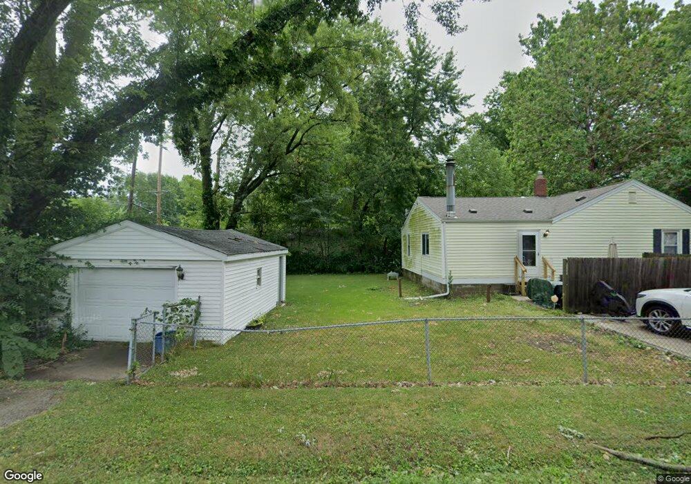
2007 E Buchanan St Unit 1 Springfield, IL 62703
Estimated Value: $136,000 - $164,659
Studio
--
Bath
--
Sq Ft
11,543
Sq Ft Lot
About This Home
This home is located at 2007 E Buchanan St Unit 1, Springfield, IL 62703 and is currently estimated at $152,915. 2007 E Buchanan St Unit 1 is a home located in Sangamon County with nearby schools including Laketown Elementary School, Jefferson Middle School, and Springfield Southeast High School.
Ownership History
Date
Name
Owned For
Owner Type
Purchase Details
Closed on
Nov 7, 2025
Sold by
Jensen Jerrold A and Jensen Eileen M
Bought by
Klauzer Albert
Current Estimated Value
Home Financials for this Owner
Home Financials are based on the most recent Mortgage that was taken out on this home.
Original Mortgage
$20,000
Outstanding Balance
$20,000
Interest Rate
6.34%
Mortgage Type
Construction
Estimated Equity
$132,915
Purchase Details
Closed on
Mar 31, 1998
Create a Home Valuation Report for This Property
The Home Valuation Report is an in-depth analysis detailing your home's value as well as a comparison with similar homes in the area
Purchase History
| Date | Buyer | Sale Price | Title Company |
|---|---|---|---|
| Klauzer Albert | $20,000 | Chicago Title | |
| -- | $76,000 | -- |
Source: Public Records
Mortgage History
| Date | Status | Borrower | Loan Amount |
|---|---|---|---|
| Open | Klauzer Albert | $20,000 |
Source: Public Records
Tax History
| Year | Tax Paid | Tax Assessment Tax Assessment Total Assessment is a certain percentage of the fair market value that is determined by local assessors to be the total taxable value of land and additions on the property. | Land | Improvement |
|---|---|---|---|---|
| 2024 | $2,956 | $44,567 | $11,183 | $33,384 |
| 2023 | $2,873 | $41,266 | $10,355 | $30,911 |
| 2022 | $2,732 | $39,051 | $9,799 | $29,252 |
| 2021 | $2,618 | $37,520 | $9,415 | $28,105 |
| 2020 | $2,520 | $37,112 | $9,313 | $27,799 |
| 2019 | $2,420 | $36,463 | $9,150 | $27,313 |
| 2018 | $2,336 | $36,307 | $9,111 | $27,196 |
| 2017 | $2,273 | $35,749 | $8,971 | $26,778 |
| 2016 | $2,192 | $34,826 | $8,739 | $26,087 |
| 2015 | $1,935 | $34,040 | $8,542 | $25,498 |
| 2014 | $1,897 | $33,757 | $8,471 | $25,286 |
| 2013 | $1,875 | $34,119 | $8,562 | $25,557 |
Source: Public Records
Map
Nearby Homes
- 3300 Stanton St Unit 1
- 3301 Stanton St Unit 1
- 2025 E Hood St Unit 1
- 2100 E Hood St Unit 1
- 3518 Sheffield Rd Unit 1
- 3100 Butler St Unit 1833
- 1527 Chalmers St Unit 1
- 3001 Hoover Ave
- 2800 Via Rosso St Unit 147
- 2800 Via Rosso St Unit 605
- 3012 Taylor Ave Unit 58
- 2800 S Woodward St
- 10 Radcliff Rd
- 2900 Taylor Ave Unit 4
- 4013 S Milan Rd
- 2906 Taylor Ave Unit 11
- 2875 Taylor Ave
- 2208 Trowbridge Rd
- 3305 Saint Francis Dr
- 1800 E Stanford Ave Unit 1
- 2013 E Buchanan St Unit 1
- 2001 E Buchanan St Unit 1
- 2101 E Pickett St Unit 1
- 2000 E Buchanan St Unit 1
- 2012 E Grant St Unit 1
- 2012 E Buchanan St Unit 1
- 2000 E Grant St Unit 1
- 2107 E Pickett St Unit 1
- 2006 E Grant St Unit 1
- 1943 E Pickett St Unit 1
- 2018 E Grant St Unit 1
- 2018 E Buchanan St Unit 1
- 3508 Sherman St Unit 1
- 2113 E Pickett St Unit 1
- 1936 E Grant St Unit 1
- 2024 E Grant St Unit 1
- 3501 Sherman St
- 2030 E Grant St Unit 1
- 1933 E Pickett St Unit 1
- 2024 E Buchanan St Unit 1
Your Personal Tour Guide
Ask me questions while you tour the home.