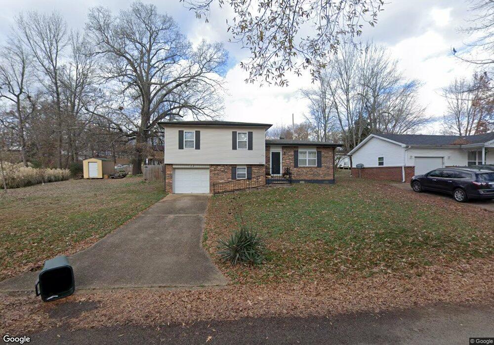
2007 Glendale Rd Poplar Bluff, MO 63901
Estimated Value: $99,429 - $139,000
--
Bed
--
Bath
1,238
Sq Ft
$103/Sq Ft
Est. Value
About This Home
This home is located at 2007 Glendale Rd, Poplar Bluff, MO 63901 and is currently estimated at $127,107, approximately $102 per square foot. 2007 Glendale Rd is a home with nearby schools including Eugene Field Elementary School, Poplar Bluff Fifth & Sixth Grade Center, and Poplar Bluff Junior High School.
Ownership History
Date
Name
Owned For
Owner Type
Purchase Details
Closed on
May 11, 2005
Sold by
Standley Sharon M and Allen Sharon M
Bought by
Mick Joseph H and Mick Sandra J
Current Estimated Value
Home Financials for this Owner
Home Financials are based on the most recent Mortgage that was taken out on this home.
Original Mortgage
$60,921
Outstanding Balance
$31,744
Interest Rate
5.83%
Mortgage Type
Future Advance Clause Open End Mortgage
Estimated Equity
$95,363
Create a Home Valuation Report for This Property
The Home Valuation Report is an in-depth analysis detailing your home's value as well as a comparison with similar homes in the area
Home Values in the Area
Average Home Value in this Area
Purchase History
| Date | Buyer | Sale Price | Title Company |
|---|---|---|---|
| Mick Joseph H | $51,000 | -- |
Source: Public Records
Mortgage History
| Date | Status | Borrower | Loan Amount |
|---|---|---|---|
| Open | Mick Joseph H | $60,921 |
Source: Public Records
Tax History Compared to Growth
Tax History
| Year | Tax Paid | Tax Assessment Tax Assessment Total Assessment is a certain percentage of the fair market value that is determined by local assessors to be the total taxable value of land and additions on the property. | Land | Improvement |
|---|---|---|---|---|
| 2024 | $578 | $11,970 | $0 | $0 |
| 2023 | $578 | $11,970 | $0 | $0 |
| 2022 | $559 | $11,600 | $0 | $0 |
| 2021 | $560 | $11,600 | $0 | $0 |
| 2020 | $526 | $10,760 | $0 | $0 |
| 2019 | $526 | $10,760 | $0 | $0 |
| 2018 | $526 | $10,760 | $0 | $0 |
| 2017 | -- | $10,760 | $0 | $0 |
| 2016 | -- | $10,760 | $0 | $0 |
| 2015 | -- | $10,760 | $0 | $0 |
| 2014 | -- | $10,070 | $0 | $0 |
| 2012 | $429 | $10,070 | $0 | $0 |
Source: Public Records
Map
Nearby Homes
- 2024 Glendale Rd
- 2801 Bedoll Ave
- 2925 Wayne Ave
- 1110 Commerce St
- 2121 Pike St
- 1039 Franklin St
- 1025 Delano St
- 1315 S 11th St
- 2335 Cheshire Blvd
- 1000 W Victor St
- 712 Nickey St
- 163 Fairway Dr
- 912 Adam St
- 622 Nickey St
- 112 Kaylee Cir
- 0 County Road 301
- 792 County Road 466
- 1905 Kentucky Ave
- 813 Kendall Dr
- 1708 Kentucky Ave
- 2001 Glendale Rd
- 2019 Glendale Rd
- 2010 Glendale Rd
- 2012 Brentwood Rd
- 1948 Glendale Rd
- 2006 Brentwood Rd
- 2000 Brentwood Rd
- 2025 Glendale Rd
- 1927 Glendale Rd
- 2018 Glendale Rd
- 1942 Brentwood Rd
- 2031 Glendale Rd
- 1935 Glendale Rd
- 1936 Brentwood Rd
- 2007 Fernwood Rd
- 2030 Glendale Rd
- 1936 Glendale Rd
- 2013 Fernwood Rd
- 1929 Glendale Rd