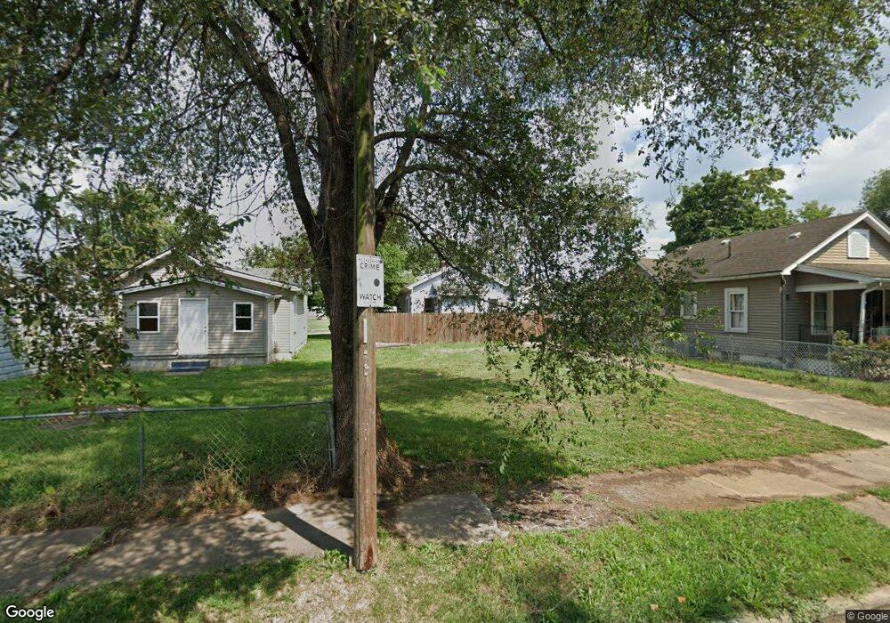
2007 Pearl St Middletown, OH 45044
Meadowlawn NeighborhoodEstimated Value: $121,000 - $278,000
2
Beds
1
Bath
640
Sq Ft
$330/Sq Ft
Est. Value
About This Home
This home is located at 2007 Pearl St, Middletown, OH 45044 and is currently estimated at $211,000, approximately $329 per square foot. 2007 Pearl St is a home located in Butler County with nearby schools including Amanda Elementary School, Highview 6th Grade Center, and Middletown Middle School.
Ownership History
Date
Name
Owned For
Owner Type
Purchase Details
Closed on
Feb 3, 2010
Sold by
The City Of Middletown Ohio
Bought by
Brown Joseph
Current Estimated Value
Purchase Details
Closed on
May 29, 2008
Sold by
Neighborhood Housing Svcs Hamilton Inc
Bought by
The City Of Middletown
Purchase Details
Closed on
Mar 29, 2006
Sold by
City Of Middletown
Bought by
Neighborhood Hsng Svcs Of Hamilton Inc
Purchase Details
Closed on
Jan 18, 2005
Sold by
Pickerell Matthew D
Bought by
Hud
Purchase Details
Closed on
Aug 20, 2001
Sold by
U S Bank National Assn
Bought by
Post Daniel E
Purchase Details
Closed on
Aug 15, 2001
Sold by
Doughman Youles W and Doughman Youles Wayne
Bought by
U S Bank National Assn
Purchase Details
Closed on
Feb 21, 2001
Sold by
Wayne Doughman Youles and Wayne Youles W
Bought by
U S Bank National Assn
Purchase Details
Closed on
Mar 15, 1999
Sold by
Youles Wayne Doughman
Bought by
Doughman Youles Wayne and Doughman Alice Janette
Create a Home Valuation Report for This Property
The Home Valuation Report is an in-depth analysis detailing your home's value as well as a comparison with similar homes in the area
Home Values in the Area
Average Home Value in this Area
Purchase History
| Date | Buyer | Sale Price | Title Company |
|---|---|---|---|
| Brown Joseph | -- | Attorney | |
| The City Of Middletown | -- | Attorney | |
| Neighborhood Hsng Svcs Of Hamilton Inc | -- | None Available | |
| City Of Middletown | -- | Lakeside Title & Escrow Agen | |
| Hud | $35,000 | -- | |
| Post Daniel E | $24,000 | -- | |
| U S Bank National Assn | $35,000 | -- | |
| U S Bank National Assn | $35,000 | Commonwealth Land Title Agen | |
| Doughman Youles Wayne | -- | -- |
Source: Public Records
Tax History Compared to Growth
Tax History
| Year | Tax Paid | Tax Assessment Tax Assessment Total Assessment is a certain percentage of the fair market value that is determined by local assessors to be the total taxable value of land and additions on the property. | Land | Improvement |
|---|---|---|---|---|
| 2024 | $166 | $3,360 | $3,360 | -- |
| 2023 | $177 | $3,360 | $3,360 | -- |
| 2022 | $200 | $3,360 | $3,360 | $0 |
| 2021 | $193 | $3,360 | $3,360 | $0 |
| 2020 | $201 | $3,360 | $3,360 | $0 |
| 2019 | $224 | $3,090 | $3,090 | $0 |
| 2018 | $196 | $3,090 | $3,090 | $0 |
| 2017 | $200 | $3,090 | $3,090 | $0 |
| 2016 | $209 | $3,090 | $3,090 | $0 |
| 2015 | $206 | $3,090 | $3,090 | $0 |
| 2014 | $190 | $3,090 | $3,090 | $0 |
| 2013 | $190 | $3,090 | $3,090 | $0 |
Source: Public Records
Map
Nearby Homes
- 2012 Pearl St
- 1713 Lafayette Ave
- 1808 Meadow Ave
- 1514 Taylor Ave
- 1511 Meadow Ave
- 1503 Brown St
- 1717 Pershing Ave
- 1702 Glenwood Ave
- 2900 Morgan St
- 1613 Sheridan Ave
- 1209 Grove St
- BELLEVILLE Plan at Stonybrook - Stonybrook Crossing
- VALE Plan at Stonybrook - Stonybrook Crossing
- SHELBURN Plan at Stonybrook - Stonybrook Crossing
- BUCHANAN Plan at Stonybrook - Stonybrook Crossing
- ALWICK Plan at Stonybrook - Stonybrook Crossing
- QUENTIN Plan at Stonybrook - Stonybrook Crossing
- BEACHWOOD Plan at Stonybrook - Stonybrook Crossing
- ASHTON Plan at Stonybrook - Stonybrook Crossing
- SAXON Plan at Stonybrook - Stonybrook Crossing