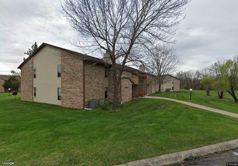
2007 Waterfront Dr N Unit A Columbia, MO 65202
Estimated Value: $143,000 - $146,389
2
Beds
2
Baths
968
Sq Ft
$150/Sq Ft
Est. Value
About This Home
This home is located at 2007 Waterfront Dr N Unit A, Columbia, MO 65202 and is currently estimated at $144,847, approximately $149 per square foot. 2007 Waterfront Dr N Unit A is a home located in Boone County with nearby schools including Eliot Battle Elementary School, John B. Lange Middle School, and Muriel W. Battle High School.
Ownership History
Date
Name
Owned For
Owner Type
Purchase Details
Closed on
Sep 14, 2018
Sold by
Sadaf Abadi Mousa and Sadaf Sanayekhamench
Bought by
Nolla Samuel Miguel
Current Estimated Value
Home Financials for this Owner
Home Financials are based on the most recent Mortgage that was taken out on this home.
Original Mortgage
$41,715
Outstanding Balance
$36,381
Interest Rate
4.6%
Mortgage Type
New Conventional
Estimated Equity
$108,466
Purchase Details
Closed on
Nov 3, 2006
Sold by
Taylor Amanda J and Taylor Gary
Bought by
Abadi Mausa
Create a Home Valuation Report for This Property
The Home Valuation Report is an in-depth analysis detailing your home's value as well as a comparison with similar homes in the area
Home Values in the Area
Average Home Value in this Area
Purchase History
| Date | Buyer | Sale Price | Title Company |
|---|---|---|---|
| Nolla Samuel Miguel | -- | None Available | |
| Abadi Mausa | -- | None Available |
Source: Public Records
Mortgage History
| Date | Status | Borrower | Loan Amount |
|---|---|---|---|
| Open | Nolla Samuel Miguel | $41,715 |
Source: Public Records
Tax History Compared to Growth
Tax History
| Year | Tax Paid | Tax Assessment Tax Assessment Total Assessment is a certain percentage of the fair market value that is determined by local assessors to be the total taxable value of land and additions on the property. | Land | Improvement |
|---|---|---|---|---|
| 2025 | $966 | $13,737 | $437 | $13,300 |
| 2024 | $903 | $12,483 | $437 | $12,046 |
| 2023 | $895 | $12,483 | $437 | $12,046 |
| 2022 | $860 | $12,008 | $437 | $11,571 |
| 2021 | $862 | $12,008 | $437 | $11,571 |
| 2020 | $877 | $11,540 | $437 | $11,103 |
| 2019 | $877 | $11,540 | $437 | $11,103 |
| 2018 | $849 | $0 | $0 | $0 |
| 2017 | $838 | $11,096 | $437 | $10,659 |
| 2016 | $838 | $11,096 | $437 | $10,659 |
| 2015 | $774 | $11,096 | $437 | $10,659 |
| 2014 | -- | $11,096 | $437 | $10,659 |
Source: Public Records
Map
Nearby Homes
- 1879 Waterfront Dr N Unit F
- 1877 Waterfront Dr N Unit H
- 5301 Gasconade Dr
- 5724 Black Gum Ct
- 5503 Kelsey Dr
- 1804 Kassem Dr
- 5914 Waterfront Dr N
- 2605 Shamrock Dr
- 5902 Redwing Dr
- 1703 N Lakewood Dr
- 2460 N Lake of the Woods Rd
- 5901 Huntington Ct
- 5916 Huntington Ct
- 4801 Orchard Ln
- 4802 Lillian Dr
- 1312 N Lake of the Wood
- 1312 N Lake of the Woods Rd
- 2609 Frazier Lp
- 6003 E St Charles Rd
- 4617-4619 Pierre St
- 2007 Waterfront Dr N Unit B
- 2007 Waterfront Dr N Unit H
- 2007 Waterfront Dr N Unit G
- 2007 Waterfront Dr N Unit F
- 2007 Waterfront Dr N Unit 2E
- 2007 Waterfront Dr N Unit D
- 2007 Waterfront Dr N Unit C
- 2007 Waterfront Dr N Unit E
- 2007 Waterfront Dr N Unit 2
- 2007 Waterfront Dr N Unit E
- 2007 Waterfront Dr N Unit E
- 2007 Waterfront Dr N
- 2005 Waterfront Dr N Unit A
- 2005 Waterfront Dr N Unit H
- 2005 Waterfront Dr N Unit G
- 2005 Waterfront Dr N Unit D
- 2005 Waterfront Dr N Unit C
- 2005 Waterfront Dr N Unit B
- 2005 Waterfront Dr N Unit N E
- 2005 Waterfront Dr N Unit 3G