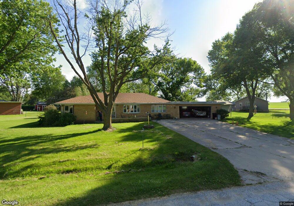
20078 Sherri Ln Fort Dodge, IA 50501
Estimated Value: $156,000 - $184,000
3
Beds
1
Bath
1,318
Sq Ft
$128/Sq Ft
Est. Value
About This Home
This home is located at 20078 Sherri Ln, Fort Dodge, IA 50501 and is currently estimated at $168,421, approximately $127 per square foot. 20078 Sherri Ln is a home located in Webster County with nearby schools including Butler Elementary School, Fort Dodge Middle School, and Fort Dodge Senior High School.
Ownership History
Date
Name
Owned For
Owner Type
Purchase Details
Closed on
Oct 20, 2011
Sold by
Porter Paul E and Porter Ann E
Bought by
Schroeder Curtis L and Schroeder Diana D
Current Estimated Value
Home Financials for this Owner
Home Financials are based on the most recent Mortgage that was taken out on this home.
Original Mortgage
$106,110
Outstanding Balance
$72,441
Interest Rate
4.12%
Mortgage Type
New Conventional
Estimated Equity
$95,980
Create a Home Valuation Report for This Property
The Home Valuation Report is an in-depth analysis detailing your home's value as well as a comparison with similar homes in the area
Home Values in the Area
Average Home Value in this Area
Purchase History
| Date | Buyer | Sale Price | Title Company |
|---|---|---|---|
| Schroeder Curtis L | $118,000 | -- |
Source: Public Records
Mortgage History
| Date | Status | Borrower | Loan Amount |
|---|---|---|---|
| Open | Schroeder Curtis L | $106,110 |
Source: Public Records
Tax History Compared to Growth
Tax History
| Year | Tax Paid | Tax Assessment Tax Assessment Total Assessment is a certain percentage of the fair market value that is determined by local assessors to be the total taxable value of land and additions on the property. | Land | Improvement |
|---|---|---|---|---|
| 2025 | $1,684 | $150,730 | $22,220 | $128,510 |
| 2024 | $1,684 | $143,490 | $22,220 | $121,270 |
| 2023 | $1,698 | $143,490 | $22,220 | $121,270 |
| 2022 | $1,646 | $116,210 | $22,220 | $93,990 |
| 2021 | $1,672 | $115,570 | $22,220 | $93,350 |
| 2020 | $1,672 | $111,630 | $22,220 | $89,410 |
| 2019 | $1,694 | $127,790 | $24,440 | $103,350 |
| 2018 | $1,676 | $111,230 | $22,220 | $89,010 |
| 2017 | $1,676 | $99,010 | $0 | $0 |
| 2016 | $1,478 | $99,010 | $0 | $0 |
| 2015 | $1,478 | $99,010 | $0 | $0 |
| 2014 | $1,412 | $99,010 | $0 | $0 |
Source: Public Records
Map
Nearby Homes
- 22757 Old Highway 169
- 1632 D St W
- 1 Triton Cir
- Lot 3 Triton Pl S Tower Drive & Kenyon Rd
- 1448 17th St SW
- 1124 Avenue B
- 316 J St
- 122 Avenue E
- 403 A St
- 1801 S 17th St
- 1437 S 24th St
- 1704 11th Ave S
- 224 Avenue B
- 146 Avenue B
- 1234 S 23rd St
- 2502 14th Ave S
- 902 S 17th St
- 1407 8th Ave S
- 1026 S 21st St
- 816 S 16th St
- 22427 Circle Dr
- 22728 Kansas Ave
- 22750 Kansas Ave
- 20077 Sherri Ln
- 22445 Circle Dr
- 20087 Sherri Ln
- 20040 Sherri Ln
- 20051 Sherri Ln
- 22770 Kansas Ave
- 20123 Sherri Ln
- 20035 Sherri Ln
- 22467 Circle Dr
- 22659 Old Highway 169
- 22792 Kansas Ave
- 22639 Old Highway 169
- 22649 Old Highway 169
- 20017 Sherri Ln
- 22623 Old Highway 169
- 20161 Sherri Ln
- 20150 Sherri Ln