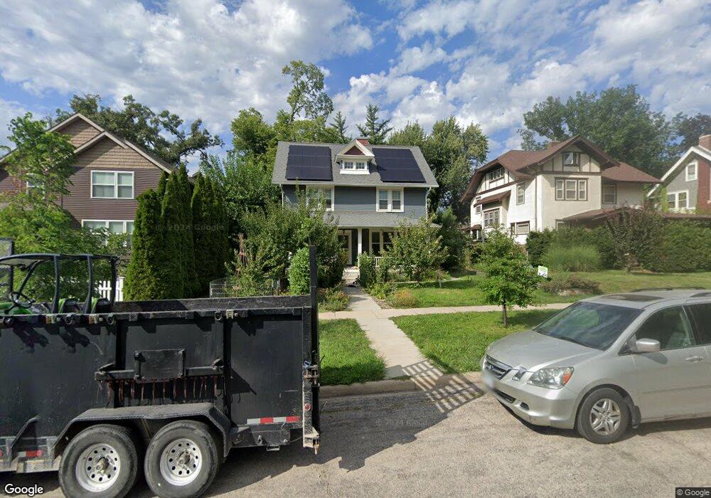
2008 5th Ave SE Cedar Rapids, IA 52403
Vernon Heights NeighborhoodEstimated Value: $257,167 - $279,000
3
Beds
2
Baths
1,972
Sq Ft
$137/Sq Ft
Est. Value
About This Home
This home is located at 2008 5th Ave SE, Cedar Rapids, IA 52403 and is currently estimated at $269,292, approximately $136 per square foot. 2008 5th Ave SE is a home located in Linn County with nearby schools including Grant Wood Elementary School, McKinley STEAM Academy, and George Washington High School.
Ownership History
Date
Name
Owned For
Owner Type
Purchase Details
Closed on
Sep 30, 2021
Sold by
Hhh Investments Llc
Bought by
Ironweed Storage Llc
Current Estimated Value
Purchase Details
Closed on
Mar 20, 2012
Sold by
Mier Mark E and Mier Emily C
Bought by
Haas Daniel T
Home Financials for this Owner
Home Financials are based on the most recent Mortgage that was taken out on this home.
Original Mortgage
$98,400
Interest Rate
3.92%
Mortgage Type
New Conventional
Purchase Details
Closed on
Jul 31, 2008
Sold by
Miller Paula Ann Tomy
Bought by
Mier Mark E and Mier Emily C
Home Financials for this Owner
Home Financials are based on the most recent Mortgage that was taken out on this home.
Original Mortgage
$144,000
Interest Rate
6.5%
Mortgage Type
Purchase Money Mortgage
Create a Home Valuation Report for This Property
The Home Valuation Report is an in-depth analysis detailing your home's value as well as a comparison with similar homes in the area
Home Values in the Area
Average Home Value in this Area
Purchase History
| Date | Buyer | Sale Price | Title Company |
|---|---|---|---|
| Ironweed Storage Llc | $45,000 | None Available | |
| Haas Daniel T | $123,000 | None Available | |
| Mier Mark E | $159,500 | None Available |
Source: Public Records
Mortgage History
| Date | Status | Borrower | Loan Amount |
|---|---|---|---|
| Previous Owner | Haas Daniel T | $98,400 | |
| Previous Owner | Mier Mark E | $144,000 |
Source: Public Records
Tax History
| Year | Tax Paid | Tax Assessment Tax Assessment Total Assessment is a certain percentage of the fair market value that is determined by local assessors to be the total taxable value of land and additions on the property. | Land | Improvement |
|---|---|---|---|---|
| 2025 | $4,050 | $252,700 | $51,000 | $201,700 |
| 2024 | $3,800 | $233,500 | $45,000 | $188,500 |
| 2023 | $3,800 | $239,300 | $45,000 | $194,300 |
| 2022 | $3,036 | $189,000 | $45,000 | $144,000 |
| 2021 | $3,340 | $155,500 | $36,000 | $119,500 |
| 2020 | $3,340 | $160,000 | $39,000 | $121,000 |
| 2019 | $3,186 | $156,300 | $39,000 | $117,300 |
Source: Public Records
Map
Nearby Homes
- 1920 4th Ave SE
- 2005 Washington Ave SE
- 375 Meadowbrook Terrace SE
- 520 22nd St SE
- 1800 5th Ave SE
- 371 19th St SE
- 1740 5th Ave SE
- 1741 4th Ave SE
- 2039 Park Ave SE
- 1906 Park Ave SE
- 1900 Park Ave SE
- 1946 Higley Ave SE
- 1713 7th Ave SE
- 513 17th St SE
- 1615 4th Ave SE
- 835 18th St SE
- 2249 Grande Ave SE
- 2009 Blake Blvd SE
- 330 Crescent St SE
- 1704 Park Ave SE
- 2014 5th Ave SE
- 2002 5th Ave SE
- 418 20th St SE
- 2018 5th Ave SE
- 410 20th St SE
- 2007 4th Ave SE
- 2015 4th Ave SE
- 2026 5th Ave SE
- 1952 5th Ave SE
- 417 20th St SE
- 2003 4th Ave SE
- 2021 4th Ave SE
- 2011 5th Ave SE
- 2001 5th Ave SE
- 2027 4th Ave SE
- 2030 5th Ave SE
- 1957 4th Ave SE
- 1948 5th Ave SE
- 2021 5th Ave SE
- 2033 4th Ave SE
Your Personal Tour Guide
Ask me questions while you tour the home.