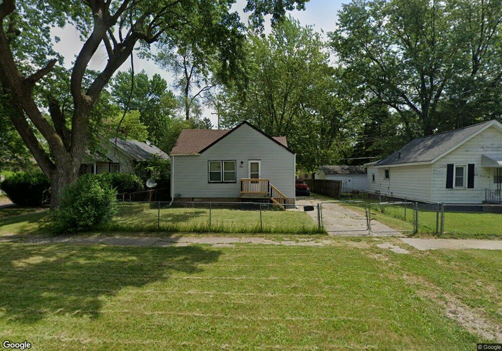
2008 Branch Rd Flint, MI 48506
Potter Longway NeighborhoodEstimated Value: $43,000 - $60,539
3
Beds
1
Bath
742
Sq Ft
$66/Sq Ft
Est. Value
About This Home
This home is located at 2008 Branch Rd, Flint, MI 48506 and is currently estimated at $49,135, approximately $66 per square foot. 2008 Branch Rd is a home located in Genesee County with nearby schools including Potter School, Richfield Public School Academy, and WAY Academy of Flint.
Ownership History
Date
Name
Owned For
Owner Type
Purchase Details
Closed on
Mar 7, 2024
Sold by
Schultz Chandra
Bought by
Schultz Timothy R
Current Estimated Value
Purchase Details
Closed on
Nov 3, 2009
Sold by
Schultz Timothy R
Bought by
Schultz Chandra R
Purchase Details
Closed on
Sep 8, 2005
Sold by
Isaac Imad and Isaac Patrice
Bought by
Schultz Timothy R and Schultz Chandra
Create a Home Valuation Report for This Property
The Home Valuation Report is an in-depth analysis detailing your home's value as well as a comparison with similar homes in the area
Home Values in the Area
Average Home Value in this Area
Purchase History
| Date | Buyer | Sale Price | Title Company |
|---|---|---|---|
| Schultz Timothy R | -- | None Listed On Document | |
| Schultz Chandra R | -- | None Available | |
| Schultz Timothy R | $18,900 | Metropolitan Title Company | |
| Isaac Imad | -- | Metropolitan Title Company |
Source: Public Records
Tax History
| Year | Tax Paid | Tax Assessment Tax Assessment Total Assessment is a certain percentage of the fair market value that is determined by local assessors to be the total taxable value of land and additions on the property. | Land | Improvement |
|---|---|---|---|---|
| 2025 | $727 | $20,500 | $0 | $0 |
| 2024 | $683 | $18,200 | $0 | $0 |
| 2023 | $675 | $14,300 | $0 | $0 |
| 2022 | $0 | $11,300 | $0 | $0 |
| 2021 | $679 | $10,500 | $0 | $0 |
| 2020 | $635 | $8,900 | $0 | $0 |
| 2019 | $628 | $5,500 | $0 | $0 |
| 2018 | $619 | $5,700 | $0 | $0 |
| 2017 | $639 | $0 | $0 | $0 |
| 2016 | $635 | $0 | $0 | $0 |
| 2015 | -- | $0 | $0 | $0 |
| 2014 | -- | $0 | $0 | $0 |
| 2012 | -- | $8,100 | $0 | $0 |
Source: Public Records
Map
Nearby Homes
- 2002 Branch Rd
- 3213 Holly Ave
- 3232 Dale Ave
- 3149 Whittier Ave
- 3413 Churchill Ave
- 3421 Brewster St
- 3614 Holly Ave
- 2701 Branch Rd
- 3617 Davison Rd
- 2211 Torrance St
- 2719 Branch Rd
- 2601 Illinois Ave
- 2613 Pennsylvania Ave
- 3018 Dakota Ave
- 2426 Hoff St
- 2610 Pennsylvania Ave
- 3739 Marmion Ave
- 2426 Broadway Blvd
- 3314 Dakota Ave
- 3740 Ivanhoe Ave
- 2012 Branch Rd
- 2016 Branch Rd
- 3115 Churchill Ave
- 3116 Dale Ave
- 3120 Dale Ave
- 3119 Churchill Ave
- 3116 Churchill Ave
- 2058 Branch Rd
- 3124 Churchill Ave
- 3111 Dale Ave
- 3127 Churchill Ave
- 3115 Dale Ave
- 3128 Dale Ave
- 3119 Dale Ave
- 2062 Branch Rd
- 1911 Curry St
- 3123 Dale Ave
- 3112 Holly Ave
- 3127 Dale Ave
- 3116 Holly Ave
Your Personal Tour Guide
Ask me questions while you tour the home.