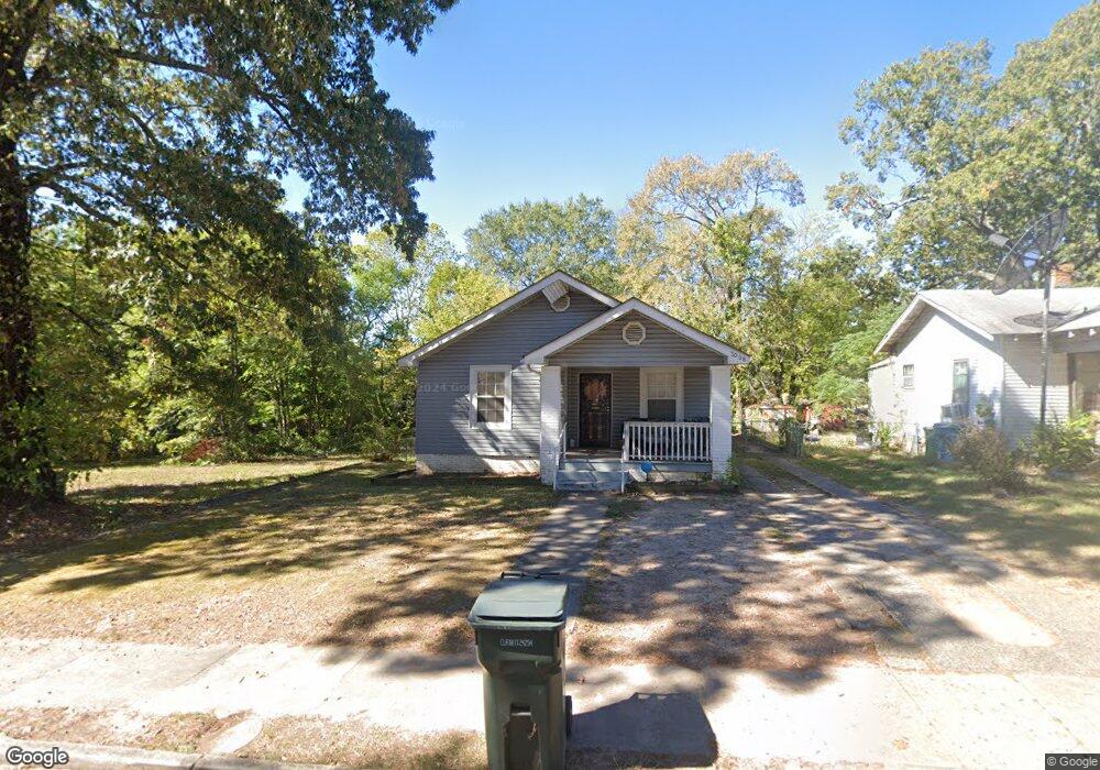
2008 Brown St Little Rock, AR 72204
Capitol View NeighborhoodEstimated Value: $70,000 - $99,582
3
Beds
1
Bath
1,351
Sq Ft
$59/Sq Ft
Est. Value
About This Home
This home is located at 2008 Brown St, Little Rock, AR 72204 and is currently estimated at $80,146, approximately $59 per square foot. 2008 Brown St is a home located in Pulaski County with nearby schools including Stephens Elementary School, Dunbar Magnet Middle School, and Central High School.
Ownership History
Date
Name
Owned For
Owner Type
Purchase Details
Closed on
Feb 24, 2025
Sold by
Commissioner Of State Lands
Bought by
Rew Properties Llc
Current Estimated Value
Purchase Details
Closed on
Nov 12, 2018
Sold by
Scrinopski Investments Llc
Bought by
Rew Properties Llc
Purchase Details
Closed on
Feb 11, 2010
Sold by
Wilcox Mark
Bought by
Scrinopski Investments Llc
Purchase Details
Closed on
Oct 16, 1998
Sold by
Ward Fred
Bought by
Minor Brenda
Create a Home Valuation Report for This Property
The Home Valuation Report is an in-depth analysis detailing your home's value as well as a comparison with similar homes in the area
Home Values in the Area
Average Home Value in this Area
Purchase History
| Date | Buyer | Sale Price | Title Company |
|---|---|---|---|
| Rew Properties Llc | $1,206 | None Listed On Document | |
| Rew Properties Llc | $25,000 | None Available | |
| Scrinopski Investments Llc | $7,450 | None Available | |
| Minor Brenda | -- | -- |
Source: Public Records
Tax History Compared to Growth
Tax History
| Year | Tax Paid | Tax Assessment Tax Assessment Total Assessment is a certain percentage of the fair market value that is determined by local assessors to be the total taxable value of land and additions on the property. | Land | Improvement |
|---|---|---|---|---|
| 2024 | $512 | $12,411 | $700 | $11,711 |
| 2023 | $512 | $12,411 | $700 | $11,711 |
| 2022 | $469 | $12,411 | $700 | $11,711 |
| 2021 | $429 | $6,090 | $200 | $5,890 |
| 2020 | $426 | $6,090 | $200 | $5,890 |
| 2019 | $426 | $6,090 | $200 | $5,890 |
| 2018 | $228 | $3,260 | $200 | $3,060 |
| 2017 | $228 | $3,260 | $200 | $3,060 |
| 2016 | $261 | $3,730 | $400 | $3,330 |
| 2015 | $261 | $3,730 | $400 | $3,330 |
| 2014 | $261 | $3,730 | $400 | $3,330 |
Source: Public Records
Map
Nearby Homes
- 2109 Brown St
- 2205 S Martin St
- 1900 & 1904 Valmar St
- 2200 Valmar St
- 1823 Johnson St
- 3401 W 17th St
- 3403 W 17th St
- 3700 W Charles Bussey Ave
- 1617 S Valentine St
- 3112 W 16th St
- 3123 W 15th St
- 1418 S Martin St
- 1609 S Woodrow St
- 2118 S Pine St
- 2600 S Pine St
- 1519 S Oak St
- 2405 S Pine St
- 1520 S Oak St
- 2501 S Pine St
- 3105 W 13th St
- 2004 Brown St
- 2000 Brown St
- 2016 Brown St
- 2009 S Martin St
- 2015 S Martin St
- 2009 Brown St
- 2005 S Martin St
- 2013 Brown St
- 2005 Brown St
- 2001 S Martin St
- 2019 S Martin St
- 2017 Brown St
- 1920 Brown St
- 2001 Brown St
- 2100 Brown St
- 2023 S Martin St
- 2021 Brown St
- 1916 Brown St
- 1923 S Martin St
- 2102 Brown St