2008 High Rd Roscommon, MI 48653
Estimated Value: $248,500 - $315,000
Studio
--
Bath
1,296
Sq Ft
$216/Sq Ft
Est. Value
About This Home
This home is located at 2008 High Rd, Roscommon, MI 48653 and is currently estimated at $279,875, approximately $215 per square foot. 2008 High Rd is a home located in Crawford County with nearby schools including Roscommon Elementary School, Roscommon Middle School, and Roscommon High School.
Ownership History
Date
Name
Owned For
Owner Type
Purchase Details
Closed on
Feb 16, 2004
Sold by
Rockel James A and Rockel Anita L
Bought by
Sprys Joseph J and Sprys Carol A
Current Estimated Value
Purchase Details
Closed on
Feb 11, 2004
Sold by
Rockel James and Rockel Anita
Bought by
Sprys Joseph and Sprys Carol
Purchase Details
Closed on
Jul 3, 2002
Sold by
Ford Nelles R and Ford Mary C
Bought by
Rockel James A and Rockel Anita L
Create a Home Valuation Report for This Property
The Home Valuation Report is an in-depth analysis detailing your home's value as well as a comparison with similar homes in the area
Home Values in the Area
Average Home Value in this Area
Purchase History
| Date | Buyer | Sale Price | Title Company |
|---|---|---|---|
| Sprys Joseph J | $137,000 | -- | |
| Sprys Joseph | $137,000 | -- | |
| Rockel James A | $126,500 | -- |
Source: Public Records
Tax History
| Year | Tax Paid | Tax Assessment Tax Assessment Total Assessment is a certain percentage of the fair market value that is determined by local assessors to be the total taxable value of land and additions on the property. | Land | Improvement |
|---|---|---|---|---|
| 2025 | $815 | $110,200 | $10,100 | $100,100 |
| 2024 | $796 | $102,200 | $10,100 | $92,100 |
| 2023 | $762 | $88,600 | $10,100 | $78,500 |
| 2022 | $726 | $65,200 | $10,100 | $55,100 |
| 2021 | $2,873 | $67,200 | $10,100 | $57,100 |
| 2020 | $2,812 | $67,200 | $10,100 | $57,100 |
| 2019 | $2,741 | $56,700 | $10,100 | $46,600 |
| 2018 | $2,830 | $58,700 | $10,100 | $48,600 |
| 2017 | $691 | $60,600 | $10,100 | $50,500 |
| 2016 | $684 | $60,400 | $10,100 | $50,300 |
| 2015 | -- | $60,400 | $0 | $0 |
| 2014 | -- | $61,000 | $0 | $0 |
| 2013 | -- | $55,700 | $0 | $0 |
Source: Public Records
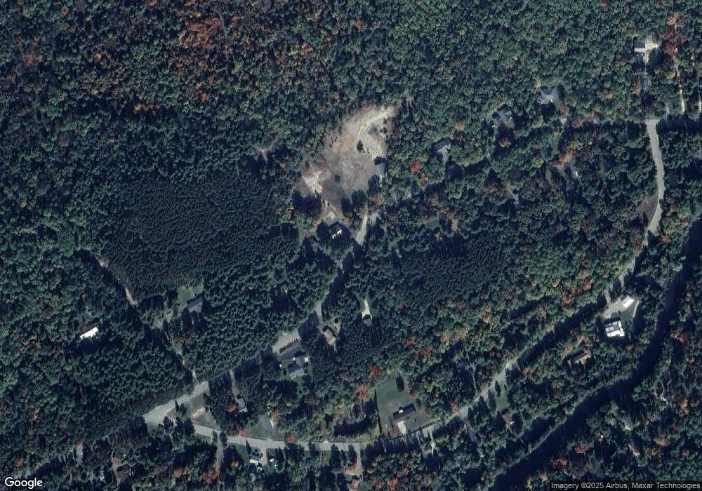
Map
Nearby Homes
- 1941 High Rd
- 0VL Chase Bridge Rd
- 0 Chase Bridge Rd
- 11491 Pines Trail
- 11269 Tanglewood Dr
- Lots 26-27 W Roberta Dr
- LOT #42 E Roberta Dr
- Lot 22 S Stephan Bridge Rd
- 38 S Eugene Dr
- 2948 E Michigan Hwy
- 10775 Pocahontas Trail
- 10389 Billman Rd
- 3776 E Michigan Hwy
- Parcel 13 N M-18
- Parcel 14 N M-18
- 838 E Pere Cheney Rd
- 11536 N Central Dr
- 11875 Hoetzel Rd
- 206 N Main St
- 0 N Main St Unit 20251028047
- 000 High Rd Unit Parcel F
- 000 High Rd Unit Parcel D
- 000 High Rd Unit Parcel E
- 1996 High Rd
- 2030 High Rd
- 10150 Deerheart Valley Rd
- 2048 High Rd
- 0 Deerheart Valley Rd
- 1920 Dewitt Trail
- 1997 High Rd
- 2066 High Rd
- 0 High Rd Unit 295170
- 0 High Rd Unit 284630
- 0 High Rd Unit 5 ACRES 266447
- 0 High Rd Unit 78080035512
- 0 High Rd Unit 78080026001
- 0 High Rd Unit 78080025353
- 0 Huffman Ln Unit 20811367
- 0 Huffman Ln Unit 78080025446
- 0 Huffman Ln Unit Parcel E2 201819980
Your Personal Tour Guide
Ask me questions while you tour the home.