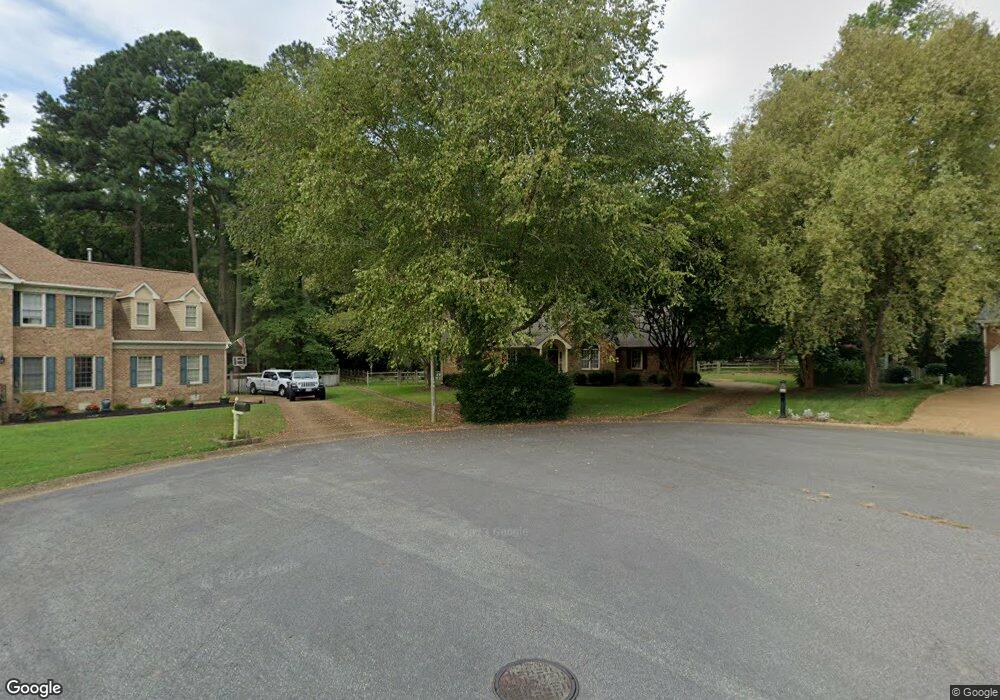
2008 Langman Place Williamsburg, VA 23185
Jamestown NeighborhoodEstimated Value: $545,707 - $624,000
4
Beds
2
Baths
2,452
Sq Ft
$231/Sq Ft
Est. Value
About This Home
This home is located at 2008 Langman Place, Williamsburg, VA 23185 and is currently estimated at $567,427, approximately $231 per square foot. 2008 Langman Place is a home located in James City County with nearby schools including Laurel Lane Elementary School, Berkeley Middle School, and Lafayette High School.
Ownership History
Date
Name
Owned For
Owner Type
Purchase Details
Closed on
Nov 20, 2014
Sold by
Bounds John M
Bought by
Bounds Tr John and Bounds Tr Maureen G
Current Estimated Value
Purchase Details
Closed on
May 4, 2005
Sold by
Jackson Jerry R
Bought by
Bounds John H
Home Financials for this Owner
Home Financials are based on the most recent Mortgage that was taken out on this home.
Original Mortgage
$319,900
Interest Rate
5.13%
Mortgage Type
Adjustable Rate Mortgage/ARM
Create a Home Valuation Report for This Property
The Home Valuation Report is an in-depth analysis detailing your home's value as well as a comparison with similar homes in the area
Home Values in the Area
Average Home Value in this Area
Purchase History
| Date | Buyer | Sale Price | Title Company |
|---|---|---|---|
| Bounds Tr John | -- | -- | |
| Bounds John H | $399,900 | -- |
Source: Public Records
Mortgage History
| Date | Status | Borrower | Loan Amount |
|---|---|---|---|
| Previous Owner | Bounds John H | $319,900 |
Source: Public Records
Tax History Compared to Growth
Tax History
| Year | Tax Paid | Tax Assessment Tax Assessment Total Assessment is a certain percentage of the fair market value that is determined by local assessors to be the total taxable value of land and additions on the property. | Land | Improvement |
|---|---|---|---|---|
| 2024 | $3,339 | $428,100 | $92,000 | $336,100 |
| 2023 | $3,339 | $380,900 | $71,900 | $309,000 |
| 2022 | $3,161 | $380,900 | $71,900 | $309,000 |
| 2021 | $3,133 | $373,000 | $71,900 | $301,100 |
| 2020 | $3,133 | $373,000 | $71,900 | $301,100 |
| 2019 | $2,943 | $350,400 | $59,800 | $290,600 |
| 2018 | $2,943 | $350,400 | $59,800 | $290,600 |
| 2017 | $2,912 | $346,700 | $59,800 | $286,900 |
| 2016 | $2,912 | $346,700 | $59,800 | $286,900 |
| 2015 | $1,400 | $333,300 | $59,800 | $273,500 |
| 2014 | $2,566 | $333,300 | $59,800 | $273,500 |
Source: Public Records
Map
Nearby Homes
- 2209 Sir Hatchett Ct
- 403 Neck O Land Rd
- 4808 Pilgrims Cir
- 339 Neck-O-land Rd
- 339 Neck O Land Rd
- 1 Guesthouse Ct
- 127 Constance Ave
- 4396 Landfall Dr
- 4427 Landfall Dr
- 2504 William Tankard Dr
- 258 Sandy Bay Rd
- 100 Lakewood Dr
- 3606 London Company Way
- 1404 London Company Way
- 134 Lakewood Dr
- 88 Holly Grove
- 97 Holly Grove
- 2004 Langman Place
- 2009 Langman Place
- 4700 Captain John Smith Rd
- 2005 Langman Place
- 520 Neck O Land Rd
- 4704 Captain John Smith Rd
- 518 Neck O Land Rd
- 522 Neck O Land Rd
- 526 Neck O Land Rd
- 516 Neck O Land Rd
- 524 Neck O Land Rd
- 4708 Captain John Smith Rd
- 4701 Captain John Smith Rd
- 512 Neck O Land Rd
- 4705 Captain John Smith Rd
- 2049 Back River Ln
- 4697 Captain John Smith Rd
- 4712 Captain John Smith Rd
- 4693 Captain John Smith Rd
- 528 Neck O Land Rd